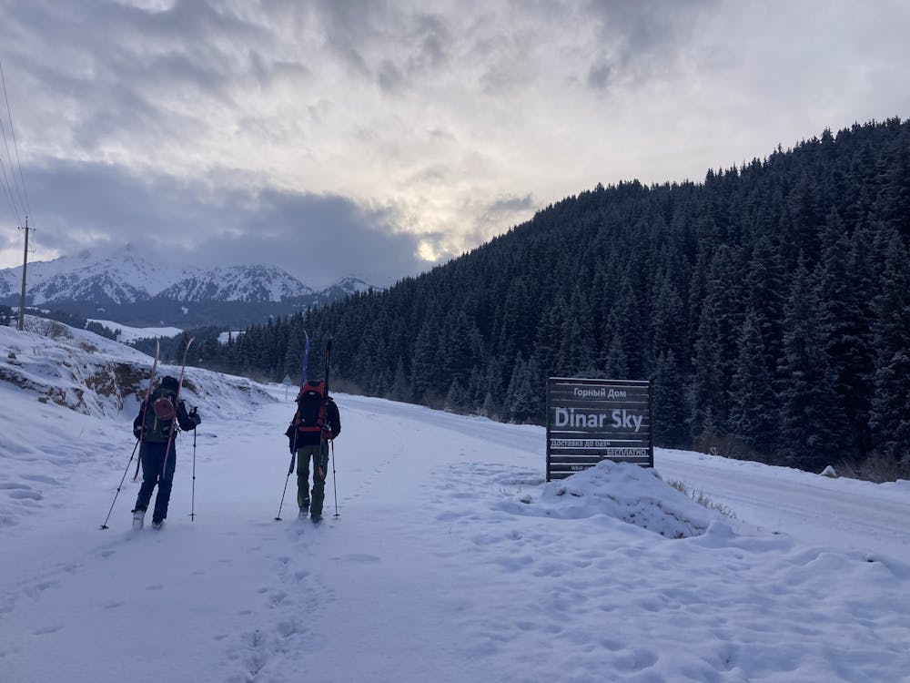
Karakol Traverse Day4
Fourth and last day of our 60km ski tour traverse above Issyk-kul lake.
Ski Touring Moderate
- Distance
- 12 km
- Ascent
- 439 m
- Descent
- 638 m
- Duration
- 4-5 hrs
- Low Point
- 1.9 km
- High Point
- 2.5 km
- Gradient
- 17˚

This is a popular ski touring route which is generally considered to be moderate. It's remote, it features low exposure (e1) and is typically done between December and March. From a low point of 1.9 km to the maximum altitude of 2.5 km, the route covers 12 km, 439 vertical metres of ascent and 638 vertical metres of descent. You'll need skins to complete it safely.
- •
- •
Description
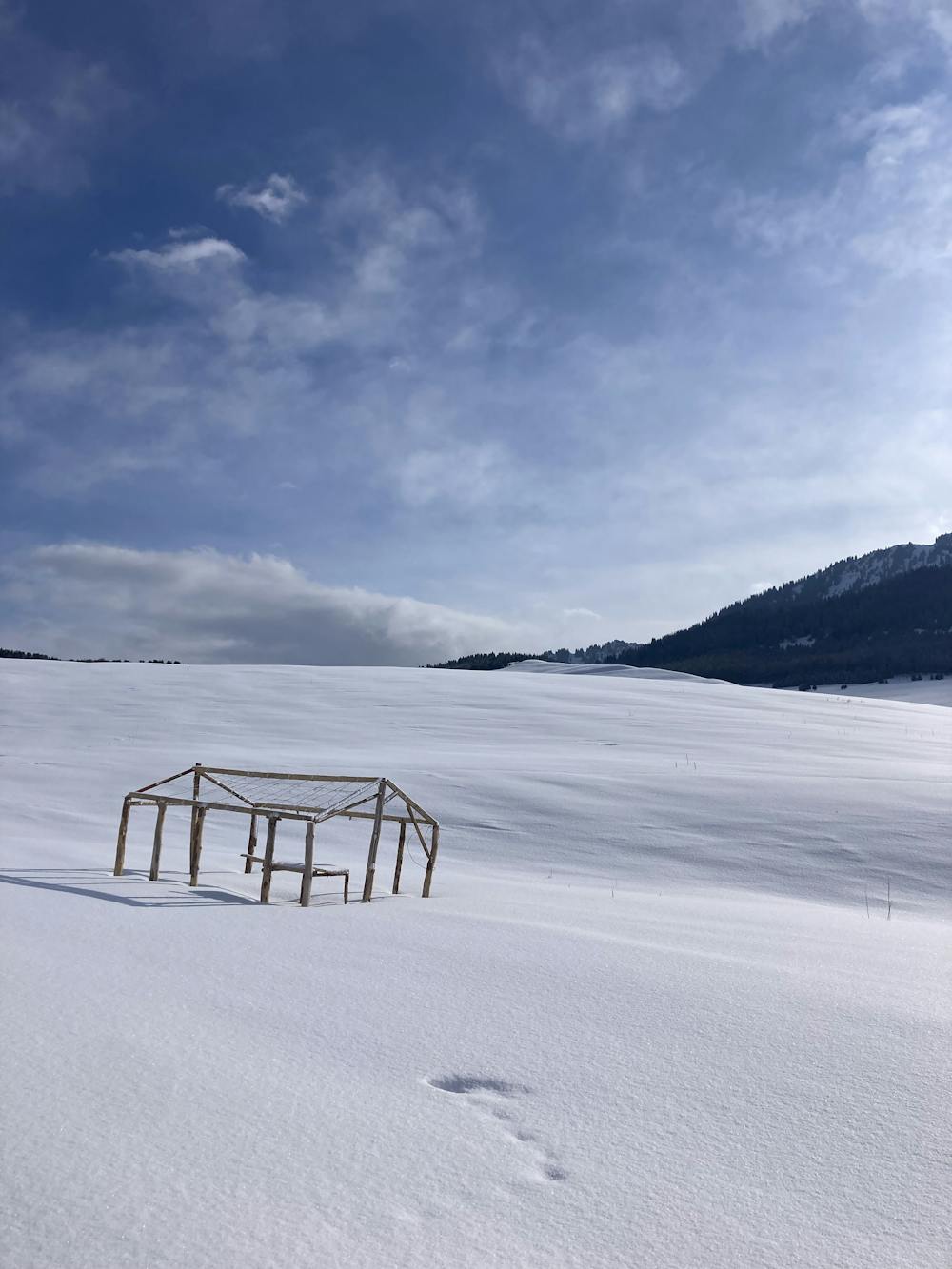
Fourth and last day of our 60km ski tour traverse above Issyk-kul lake. Shortest day with a snowy plateau surrounded by mountains. Nice track down the gorge to the bus stop where a minibus take you back to Karakol.
Find out more on : Roxyandtommyontheroad
Difficulty
Moderate
Slopes become slightly steeper at around 25-30 degrees.
Low Exposure (E1)

Exposure is limited to that of the slope itself. Getting hurt is still likely if the slope is steep and/or the snow is hard.
Remoteness

Away from help but easily accessed.
Best time to visit
Features
- Ski Safari
Equipment required
- Skins