North Traverse Jyrgalan
Route allowing to link up two valleys in Jyrgalan.
Ski Touring Easy
- Distance
- 5.1 km
- Ascent
- 234 m
- Descent
- 447 m
- Duration
- 1-2 hrs
- Low Point
- 2.3 km
- High Point
- 2.7 km
- Gradient
- 23˚

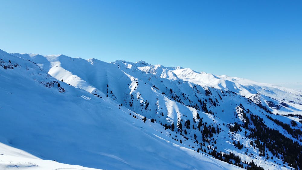
This is a popular ski touring route which is generally considered to be easy. It's remote, it features low exposure (e1) and is typically done between December and March. From a low point of 2.3 km to the maximum altitude of 2.7 km, the route covers 5.1 km, 234 vertical metres of ascent and 447 vertical metres of descent. You'll need skins to complete it safely.
- •
- •
Description
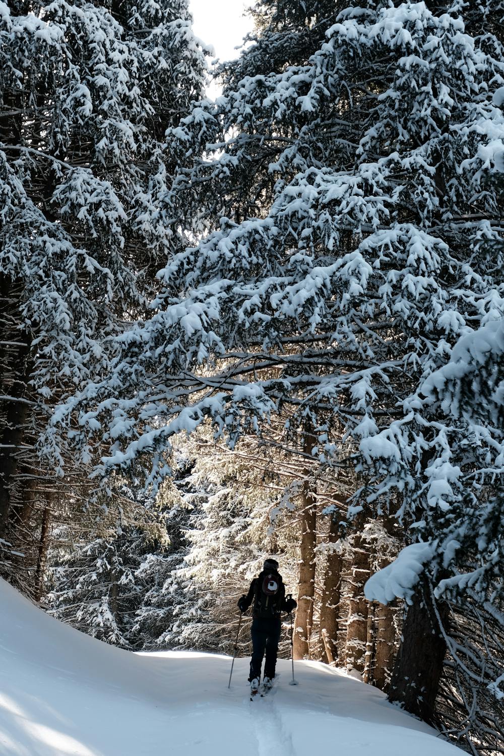
Route allowing to link up two valleys in Jyrgalan. Nice little canyon down but not very steep. Roxyandtommyontheroad
Difficulty
Easy
Wide gentle slopes at around 20 degrees or less.
Low Exposure (E1)

Exposure is limited to that of the slope itself. Getting hurt is still likely if the slope is steep and/or the snow is hard.
Remoteness

Away from help but easily accessed.
Best time to visit
Features
- Ski Safari
- Single Descent
Equipment required
- Skins