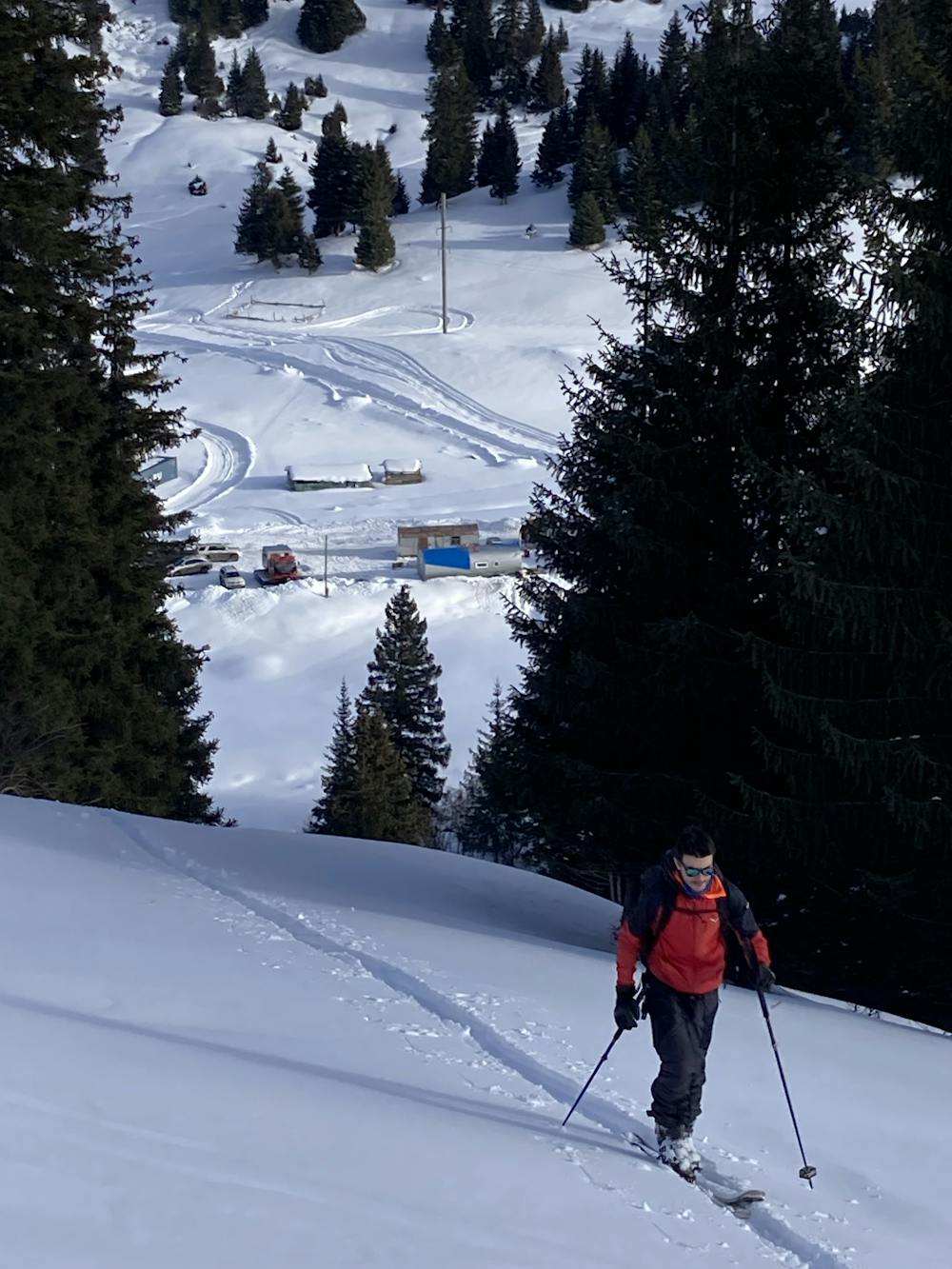
Small ride above the can
Perfect for a warm up or a after-skiing day.
Ski Touring Easy
- Distance
- 1.2 km
- Ascent
- 111 m
- Descent
- 113 m
- Duration
- 0-1 hrs
- Low Point
- 2.3 km
- High Point
- 2.4 km
- Gradient
- 28˚

This is a popular ski touring route which is generally considered to be easy. It's not remote, it features low exposure (e1) and is typically done between December and February. From a low point of 2.3 km to the maximum altitude of 2.4 km, the route covers 1.2 km, 111 vertical metres of ascent and 113 vertical metres of descent. You'll need skins to complete it safely.
- •
- •
Description
Perfect for a warm up or a after-skiing day. You finish the line by crossing the river and drinking beer at the bar. Roxyandtommyontheroad
Difficulty
Easy
Wide gentle slopes at around 20 degrees or less.
Low Exposure (E1)

Exposure is limited to that of the slope itself. Getting hurt is still likely if the slope is steep and/or the snow is hard.
Remoteness
Close to help in case of emergency.
Best time to visit
Features
- Single Descent
Equipment required
- Skins