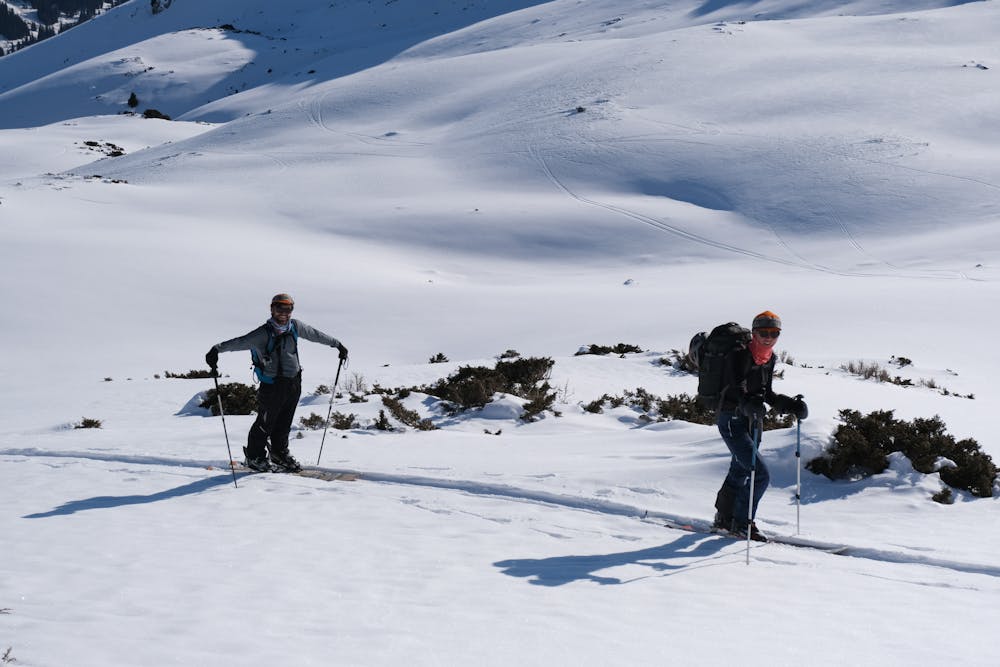
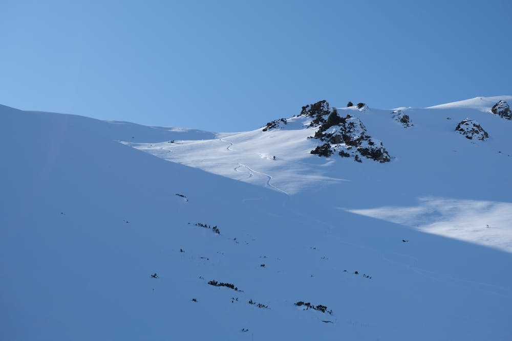
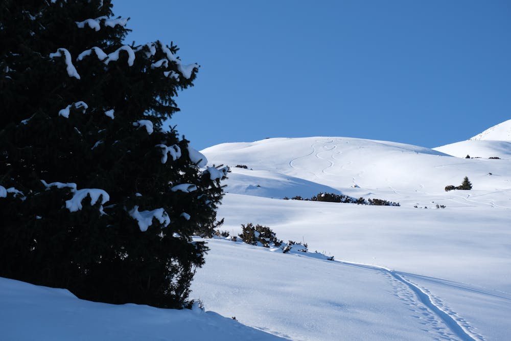
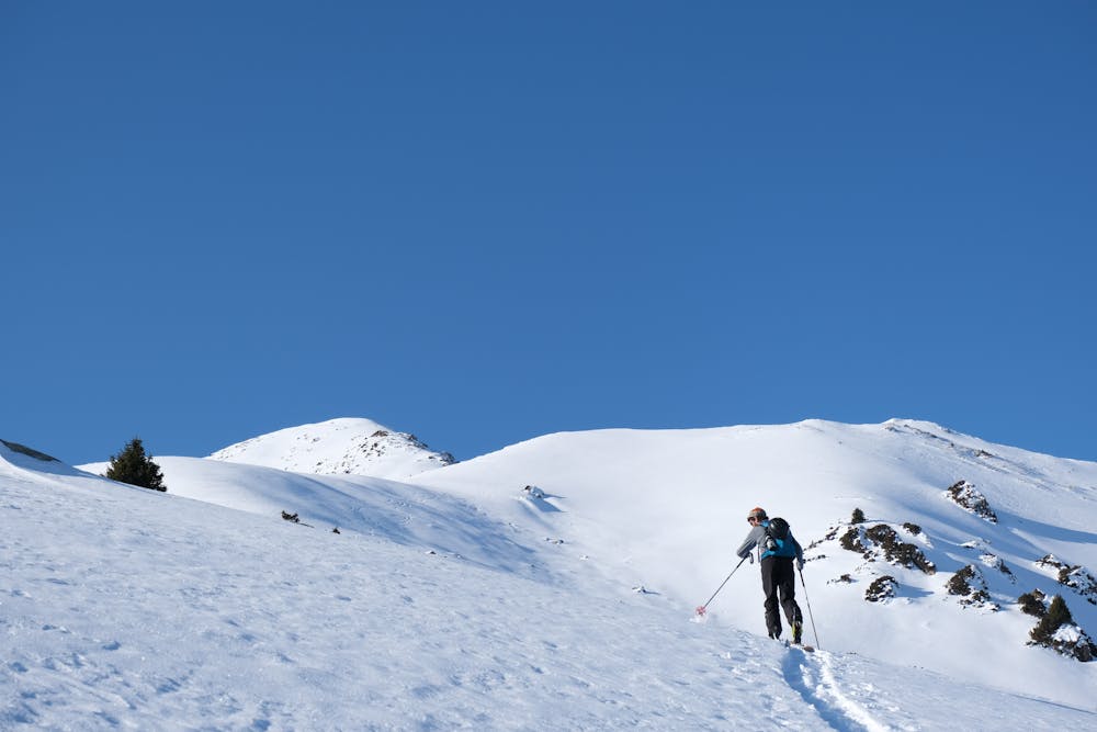
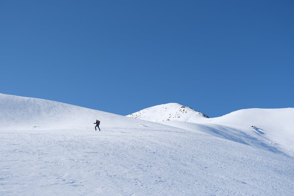
The best face in Jyrgalan
Great skitour, a bit long at the beginning because it’s flat for a long time but very descent downhill, pretty risky in terms of avalanche !
Ski Touring Moderate
- Distance
- 9.5 km
- Ascent
- 836 m
- Descent
- 835 m
- Duration
- 4-5 hrs
- Low Point
- 2.3 km
- High Point
- 3.1 km
- Gradient
- 29˚

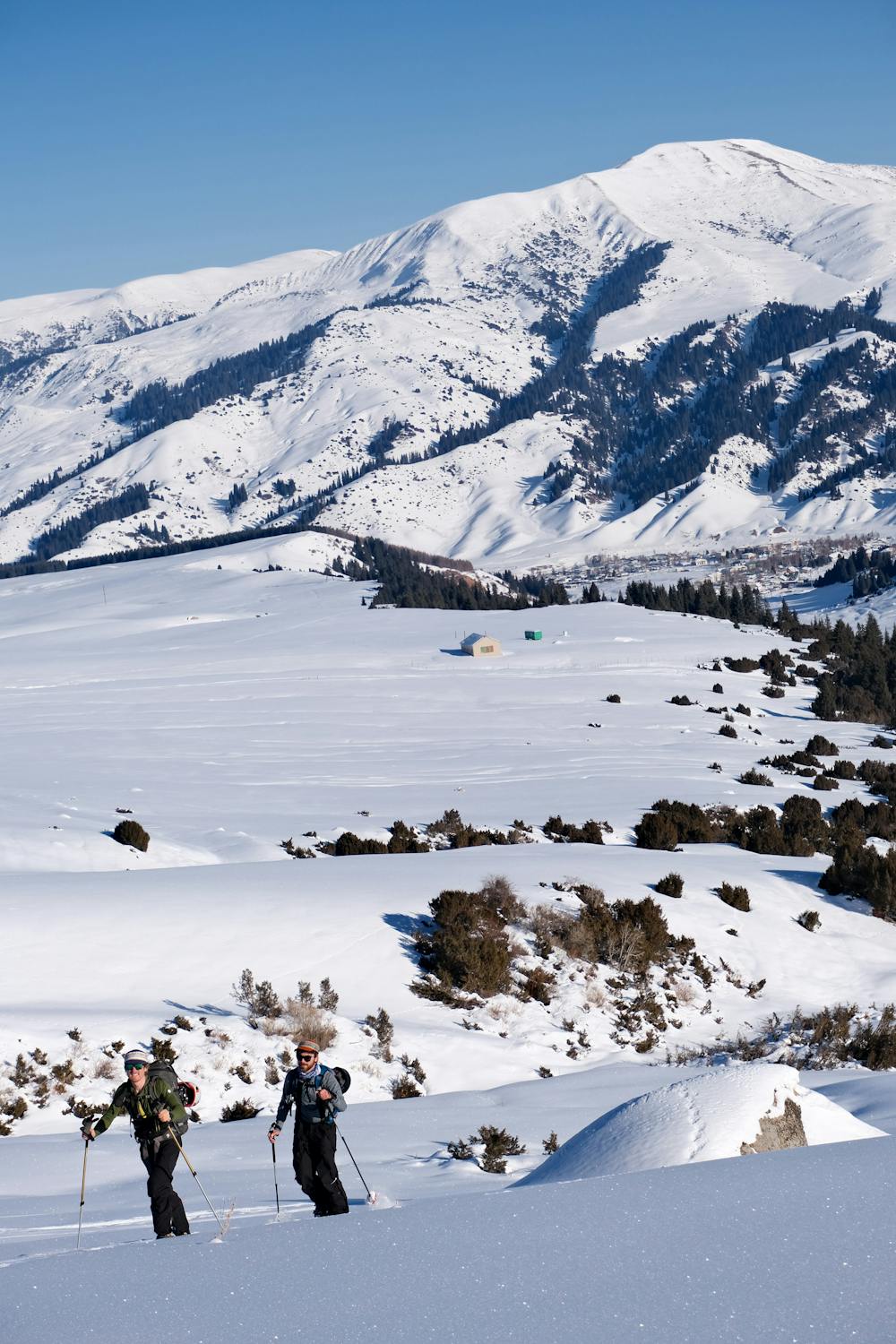
This is a popular ski touring route which is generally considered to be moderate. It's not remote, it features medium exposure (e2) and is typically done between December and March. From a low point of 2.3 km to the maximum altitude of 3.1 km, the route covers 9.5 km, 836 vertical metres of ascent and 835 vertical metres of descent. You'll need skins to complete it safely.
- •
- •
- •
- •
- •
- •
Description
Great skitour, a bit long at the beginning because it’s flat for a long time but gets steeper at the end, overall you can ski down all the was to the red bull can. South-Eastern face.
Difficulty
Moderate
Slopes become slightly steeper at around 25-30 degrees.
Medium Exposure (E2)

As well as the slope itself, there are some obstacles (such as rock outcrops) which could aggravate injury.
Remoteness

Close to help in case of emergency.
Best time to visit
Features
- Face
Equipment required
- Skins