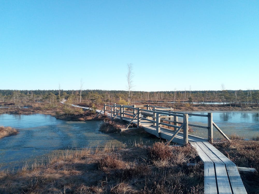
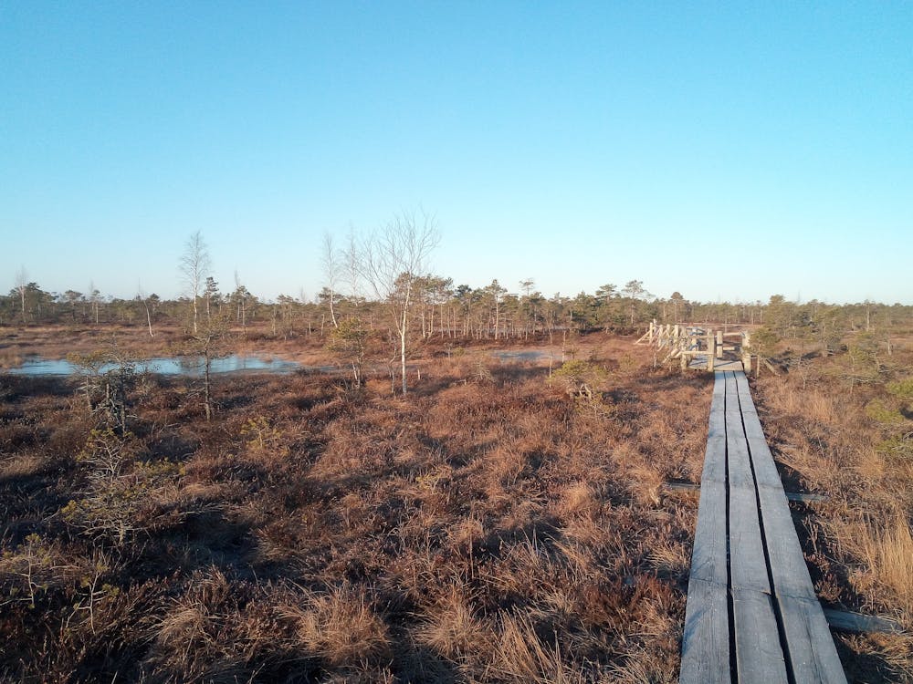
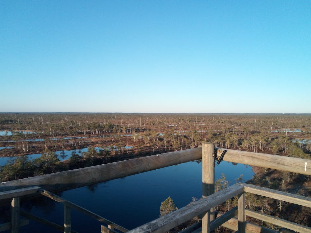
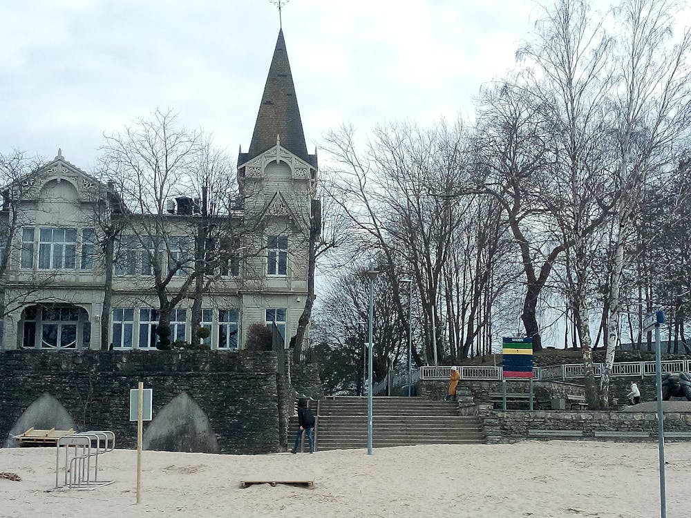
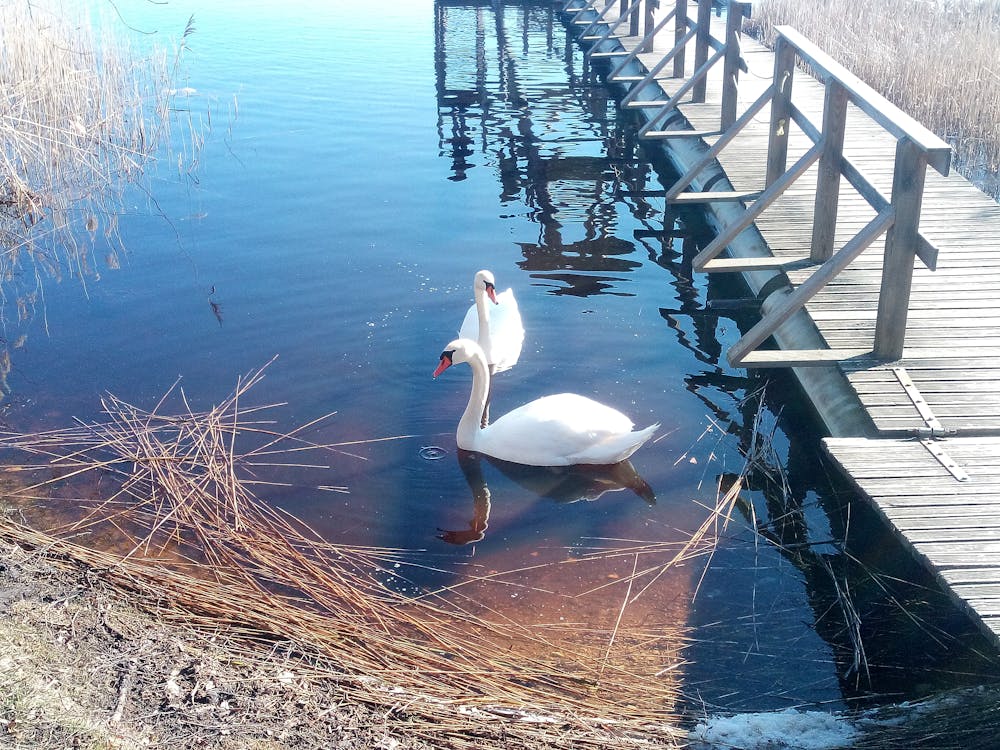
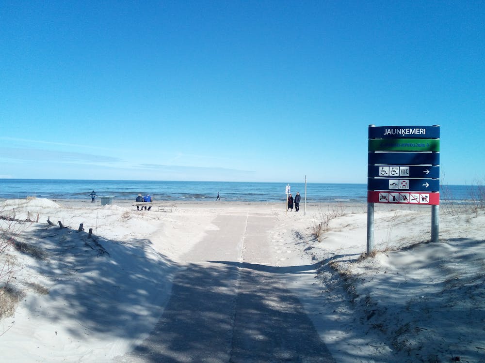
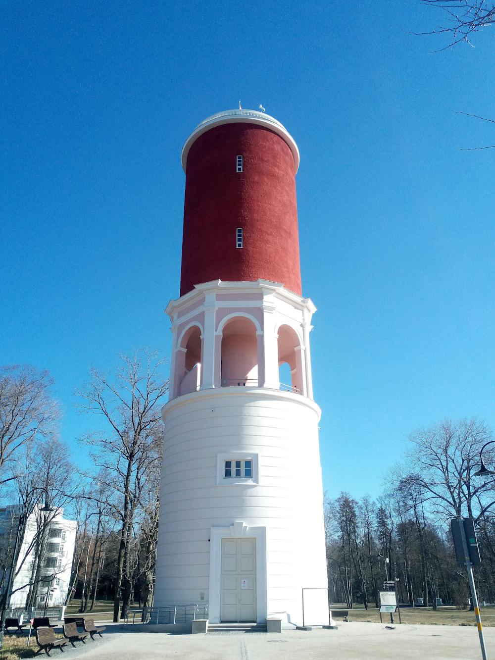
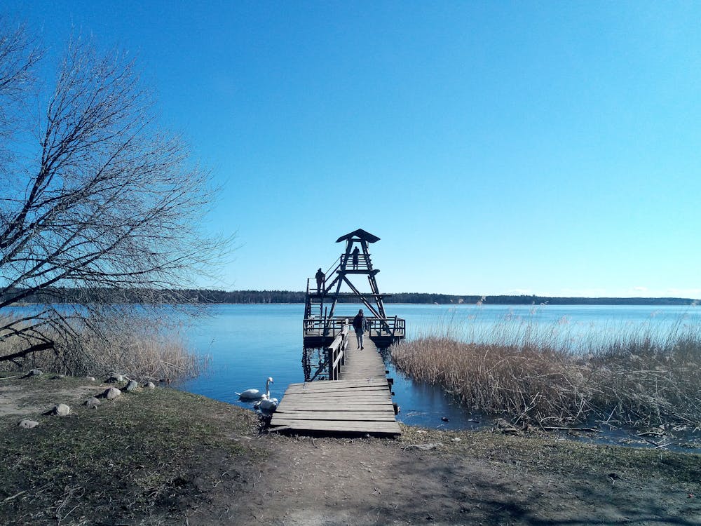
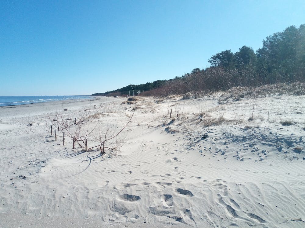
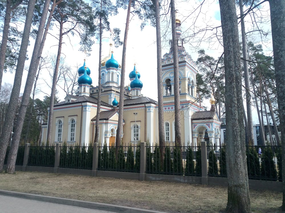
The waters of Jūrmala and Ķemeri
Bogs, lakes, and the majestic Baltic sea :)
Hiking Moderate
- Distance
- 37 km
- Ascent
- 237 m
- Descent
- 240 m
- Duration
- 7-8 hrs
- Low Point
- 0 m
- High Point
- 25 m
- Gradient
- 2˚

This is a popular hiking route which is generally considered to be moderate. It's not remote, it features medium exposure and is typically done in April, May, September and October. From a low point of 0 m to the maximum altitude of 25 m, the route covers 37 km, 237 vertical metres of ascent and 240 vertical metres of descent.
- •
- •
- •
- •
- •
- •
- •
- •
- •
- •
- •
- •
- •
Description
A full-day hike that gives a complete hydrological overview of Jūrmala and Ķemeri.
Difficulty
Moderate
Hiking along trails with some uneven terrain and small hills. Small rocks and roots may be present.
Medium Exposure

The trail contains some obstacles such as outcroppings and rock which could cause injury.
Remoteness

Close to help in case of emergency.
Best time to visit
Features
- Picturesque
- Water features