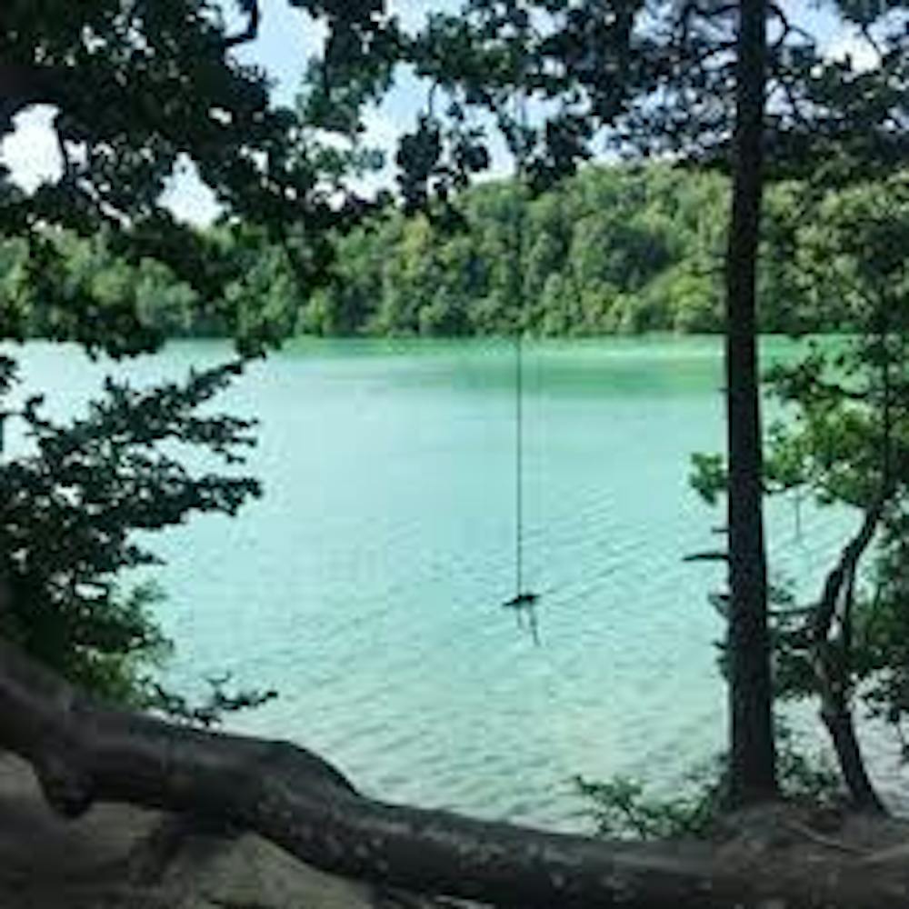
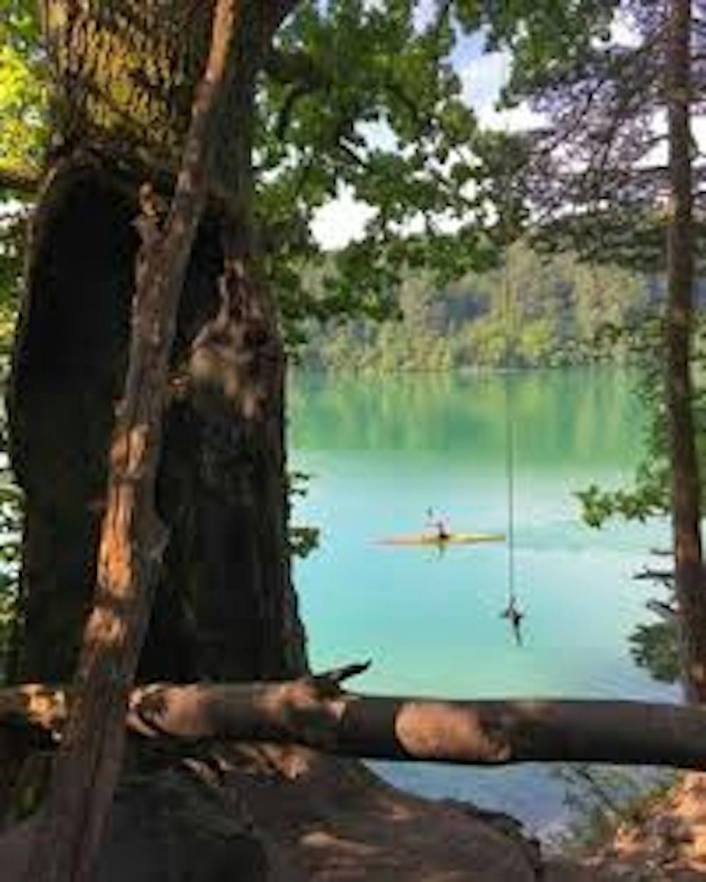
Nice walk to a secret "Tarzanke" Place.
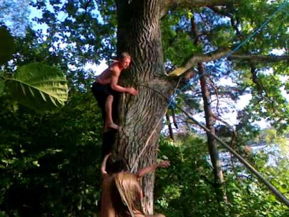
A great place for extreme swimmers, who like to jump from high places into the water.
Hiking Extreme
- Distance
- 1.8 km
- Ascent
- 25 m
- Descent
- 27 m
- Duration
- 0-1 hrs
- Low Point
- 129 m
- High Point
- 140 m
- Gradient
- 1˚

This is a popular hiking route which is generally considered to be extreme. It's extremely remote, it features high exposure and is typically done between June and September. From a low point of 129 m to the maximum altitude of 140 m, the route covers 1.8 km, 25 vertical metres of ascent and 27 vertical metres of descent.
- •
- •
- •
Description
Perfect place for extreme persons, who love jumping from high places into the water. The jump from this "Tarzanke" is from more than 5 meters, by using a rope attached to a tree.
Difficulty
Extreme
Scrambling up mountains and along technical trails with moderate fall exposure. Handholds are necessary to navigate the trail in its entirety, although they are not necessary at all times. Some obstacles can be very large and difficult to navigate, and the grades can often be near-vertical. The challenge of the trail and the steepness of the grade results in very strenuous hiking. Hikes of this difficulty blur the lines between "hiking" and "climbing".
High Exposure

Some trail sections have exposed ledges or steep ascents/descents where falling could cause serious injury.
Remoteness

In the high mountains or remote conditions, all individuals must be completely autonomous in every situation.
Best time to visit
Features
- Wildlife
- Dog friendly
- Water features