Lee Trail
Some of the best trails in Luxembourg.
Hiking Difficult
- Distance
- 52 km
- Ascent
- 2.6 km
- Descent
- 2.5 km
- Duration
- 1 day +
- Low Point
- 195 m
- High Point
- 505 m
- Gradient
- 15˚

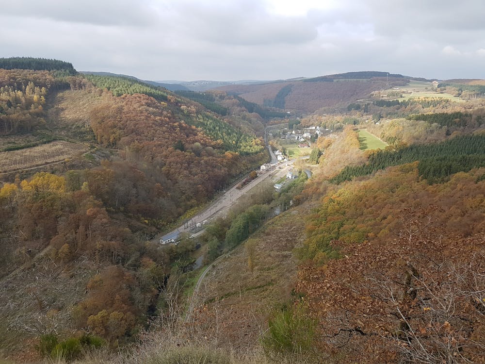
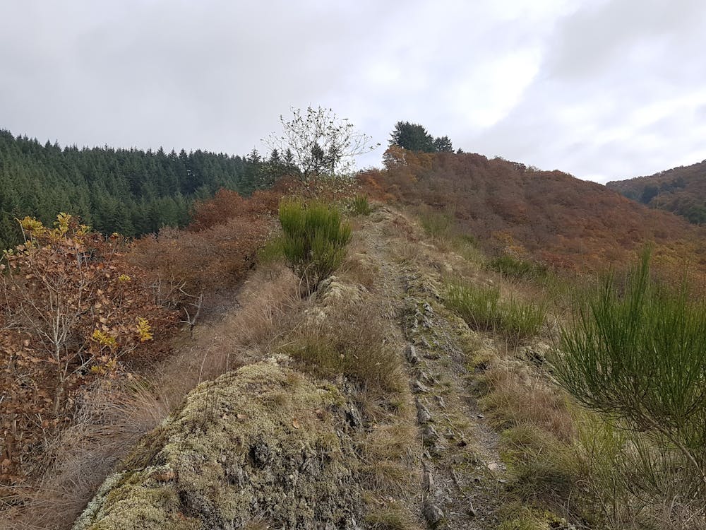
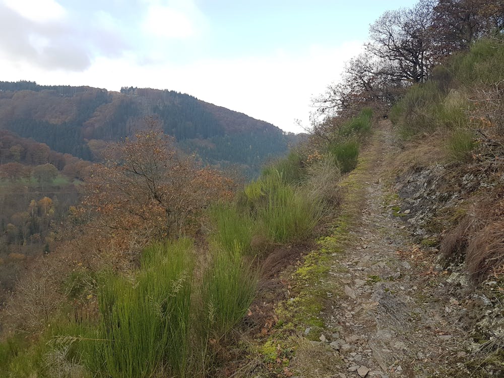
50+ k hike through some of the steepest terrain in Luxembourg, that is the Luxembourg Ardennes. The altitudes range from 200 m above sea level at the start to 500 m at Bourscheid with a total elevation gain of around 2,000 meters. More than 60% of pure natural trail guarantees a quality hike. Lee trail is a part of the longer Escapardenne trail going further and into Belgium.
- •
- •
- •
Difficulty
Difficult
Hiking trails where obstacles such as rocks or roots are prevalent. Some obstacles can require care to step over or around. At times, the trail can be worn and eroded. The grade of the trail is generally quite steep, and can often lead to strenuous hiking.
Medium Exposure

The trail contains some obstacles such as outcroppings and rock which could cause injury.
Remoteness
Away from help but easily accessed.
Best time to visit
Features
- Historical
- Picturesque
- Dog friendly
- Wild flowers
- Water features
- Forestry or heavy vegetation