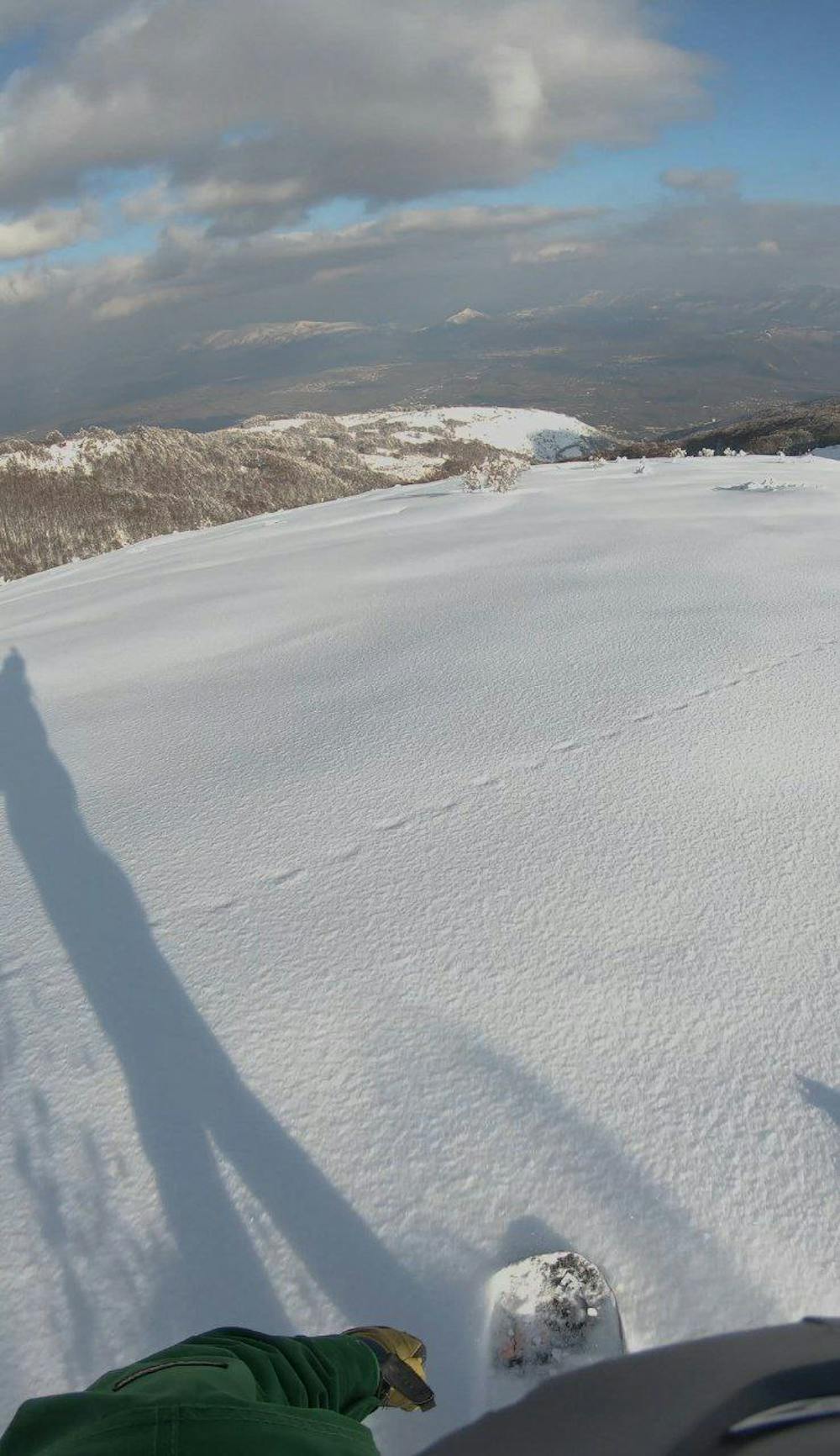
Popova shapка west
along the western ridge accessible from the lift
Freeride Skiing Moderate
- Distance
- 5.2 km
- Ascent
- 79 m
- Descent
- 827 m
- Low Point
- 1.6 km
- High Point
- 2.4 km
- Gradient
- 29˚

This is a popular freeride skiing route which is generally considered to be moderate. It's remote, it features medium exposure (e2) and is typically done between January and March. From a low point of 1.6 km to the maximum altitude of 2.4 km, the route covers 5.2 km, 79 vertical metres of ascent and 827 vertical metres of descent. It's graded 2.1 and Labande grade 3.
- •
- •
Description
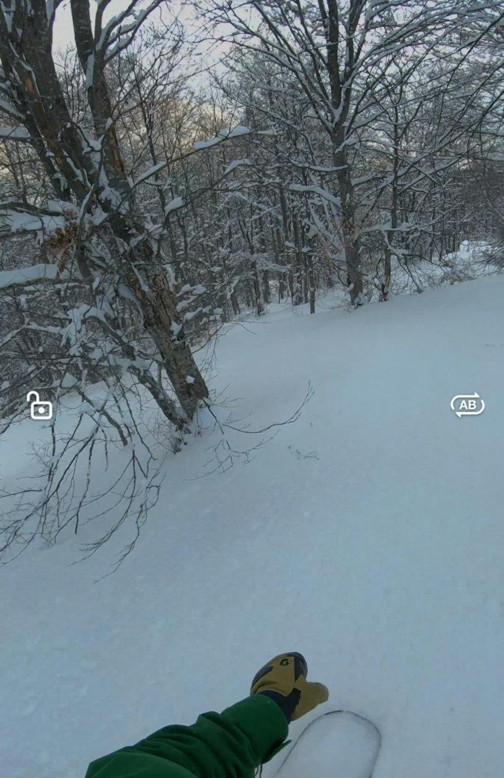
along the western ridge accessible from the lift . there may be hard snow in the upper part of the slope. the greatest interest is for fans of routes where other riders do not ride. at the bottom of the route, you need to cross the stream and walk a little uphill to the road
Difficulty
Moderate
Slopes become slightly steeper at around 25-30 degrees.
Medium Exposure (E2)

As well as the slope itself, there are some obstacles (such as rock outcrops) which could aggravate injury.
Remoteness
Away from help but easily accessed.
Best time to visit
Features
- Face
- Trees
- Walk Required