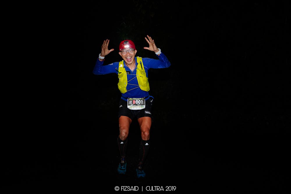
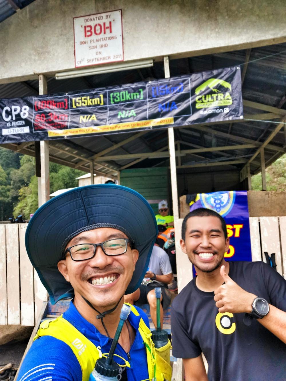
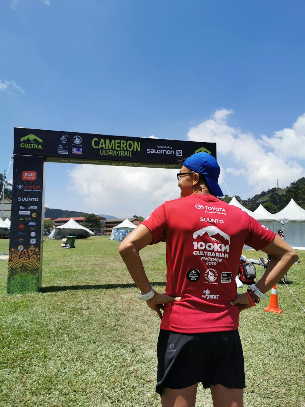
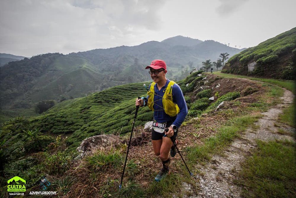
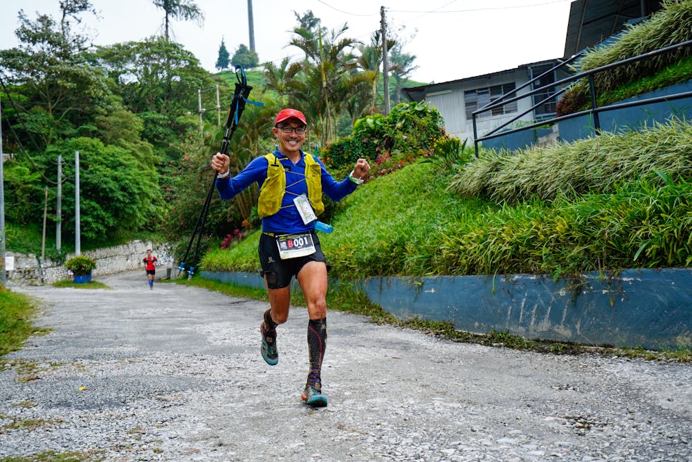
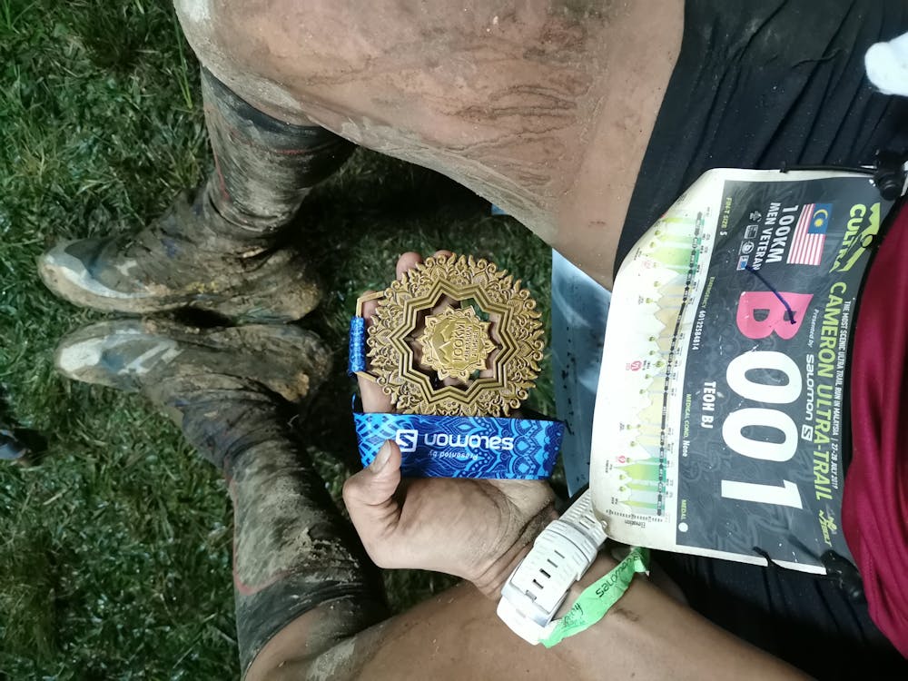
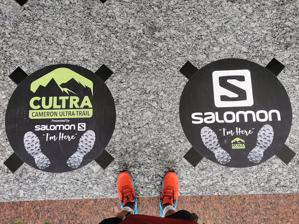
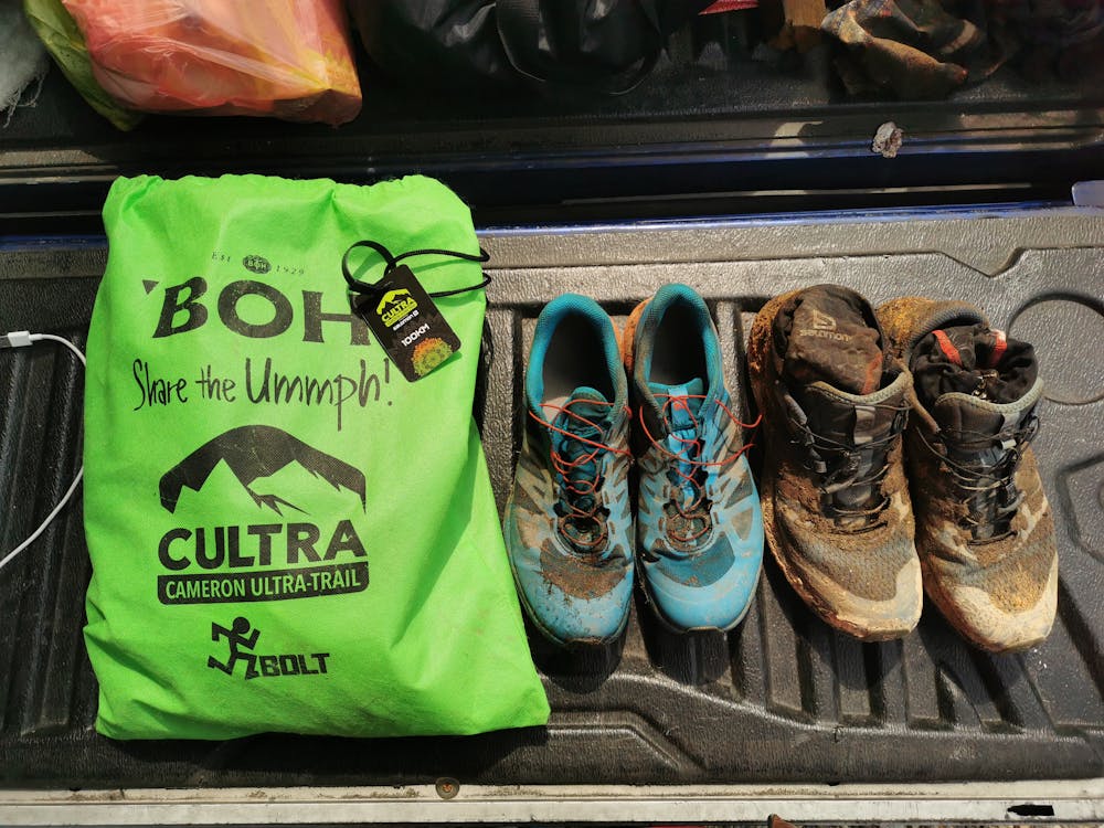
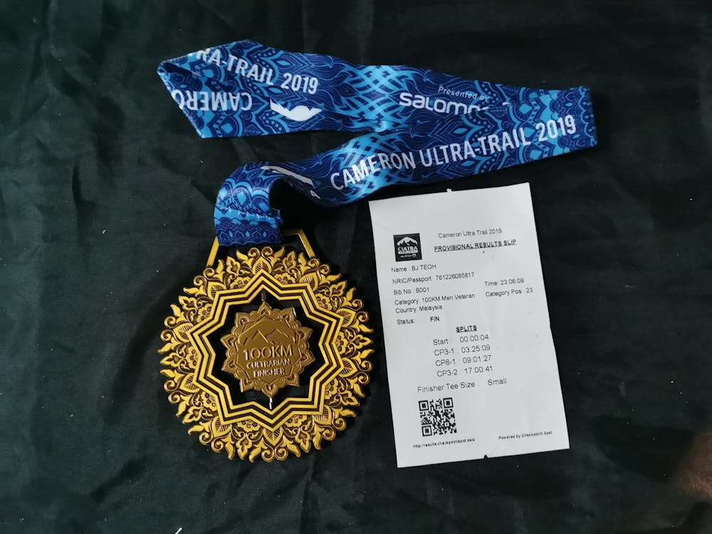
CULTRA 100 KM
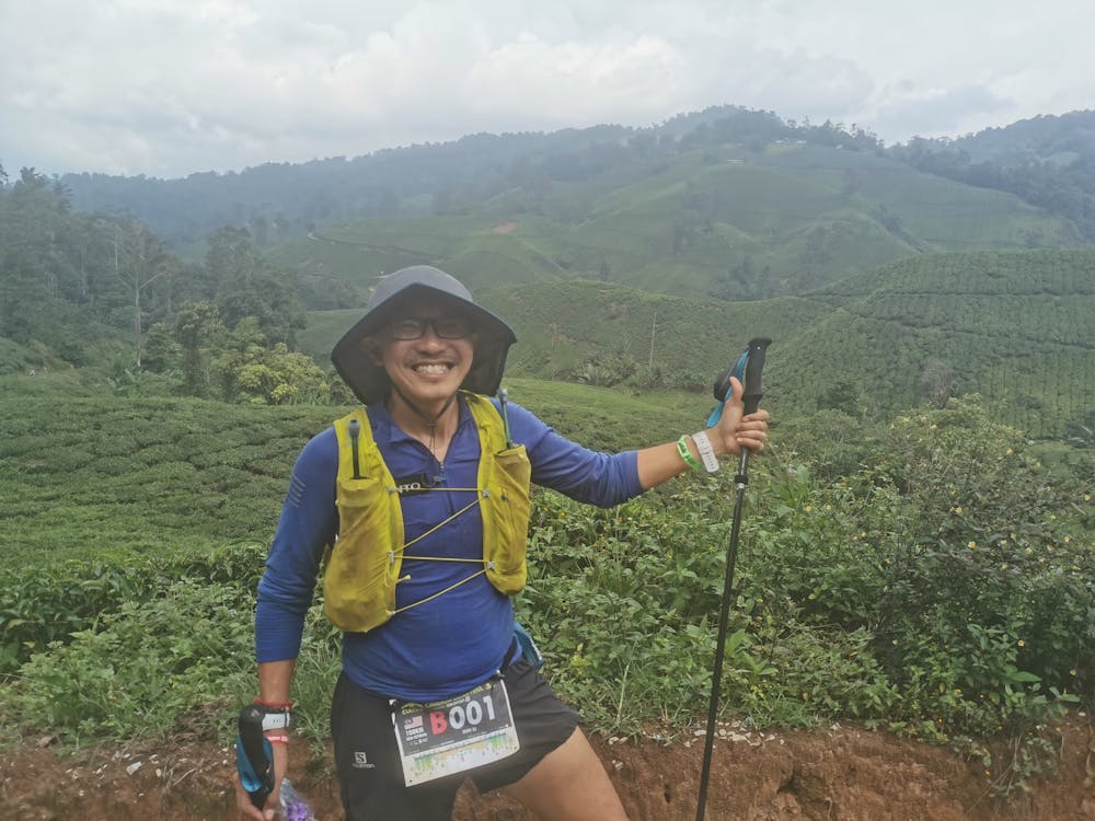
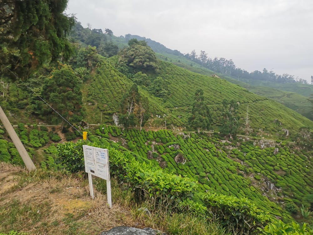
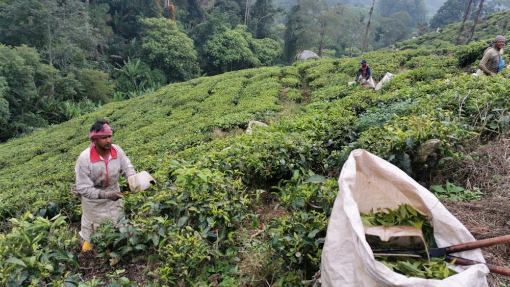
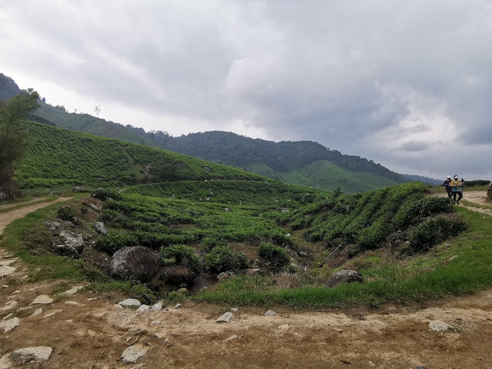
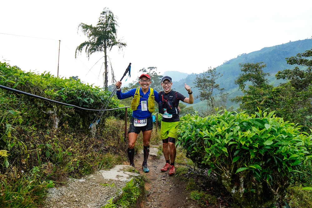
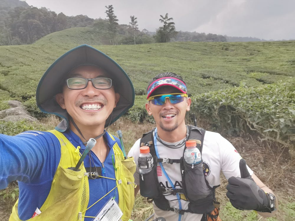
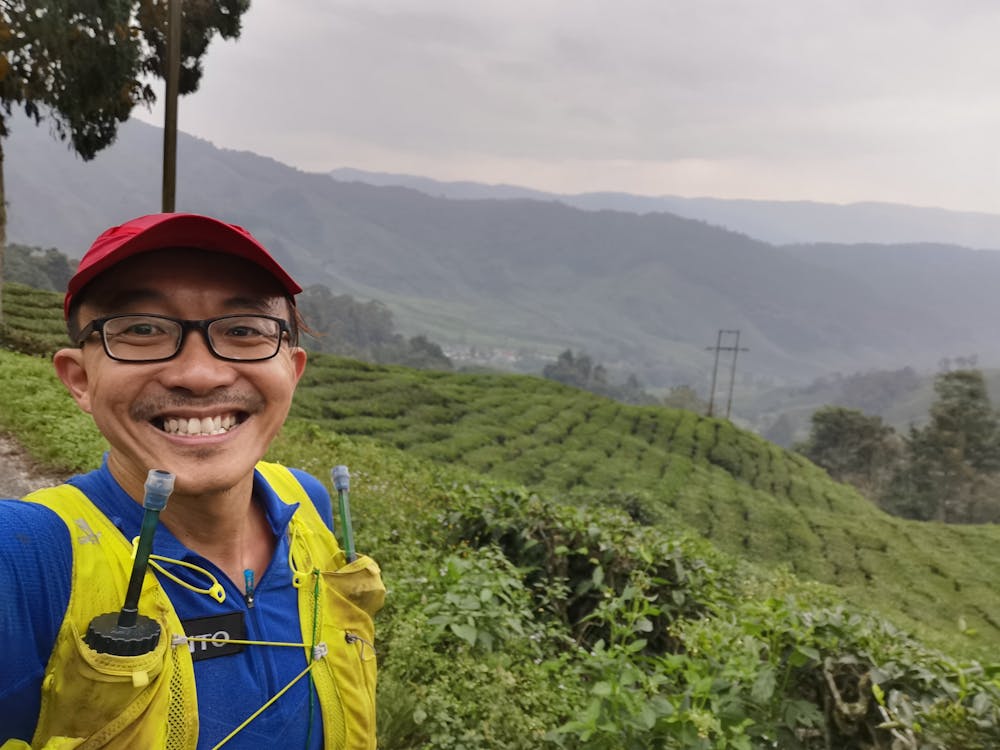
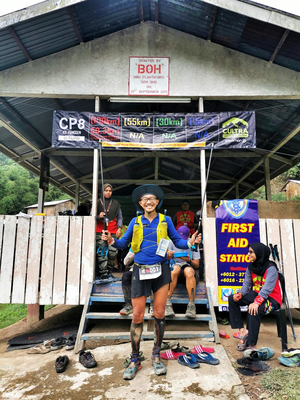
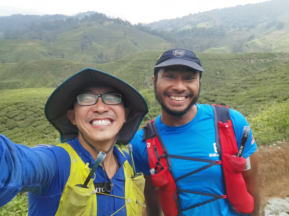
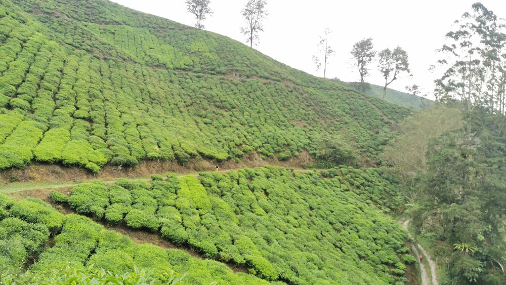
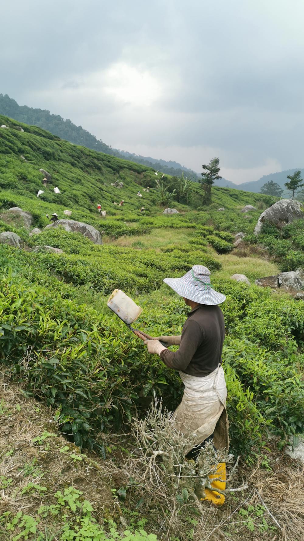
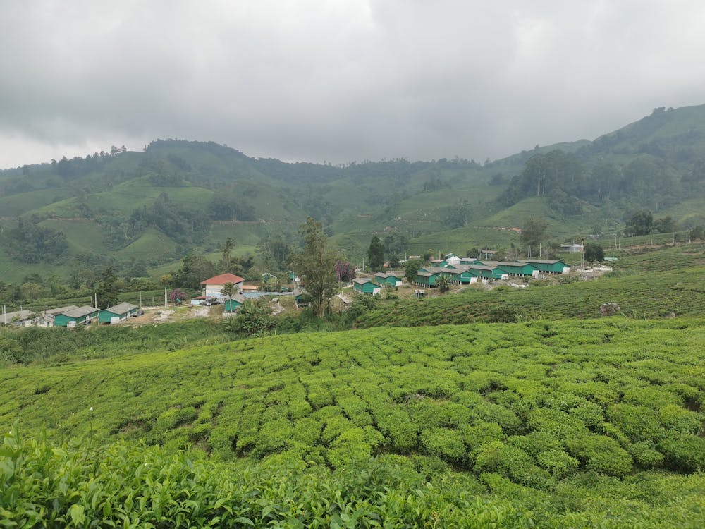
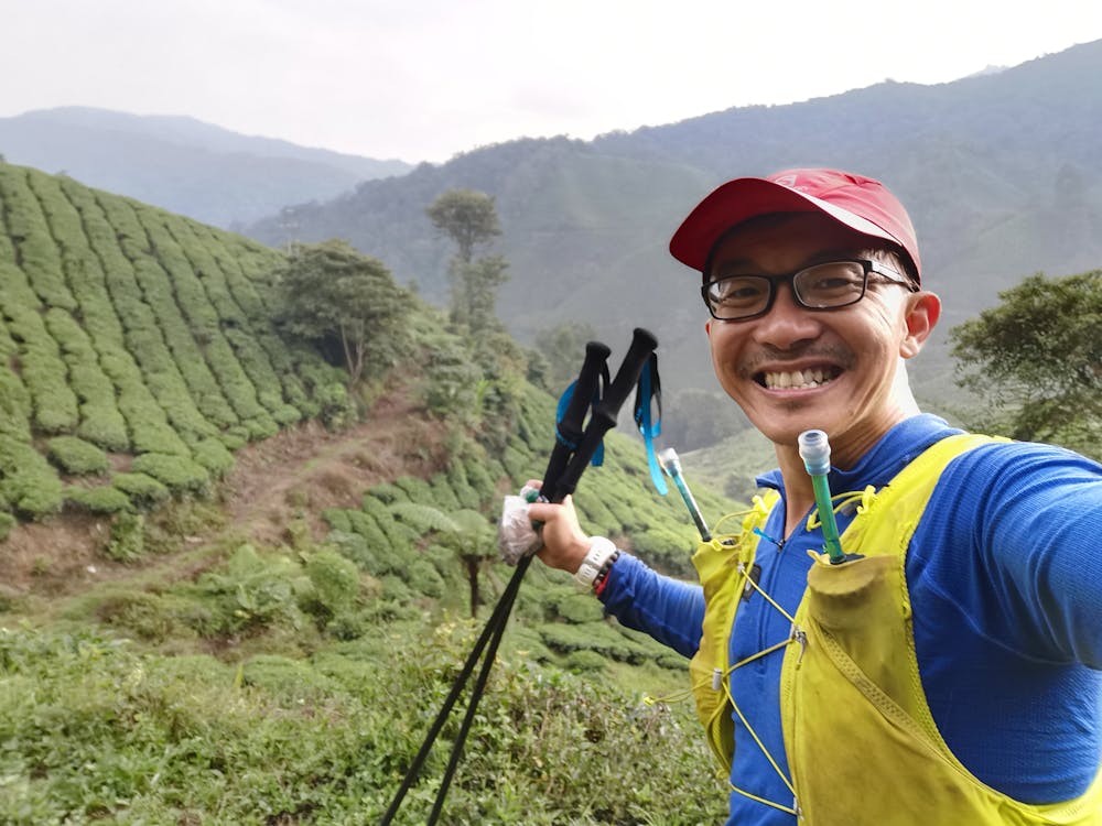
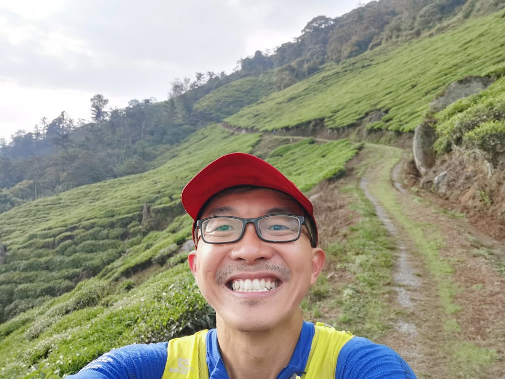
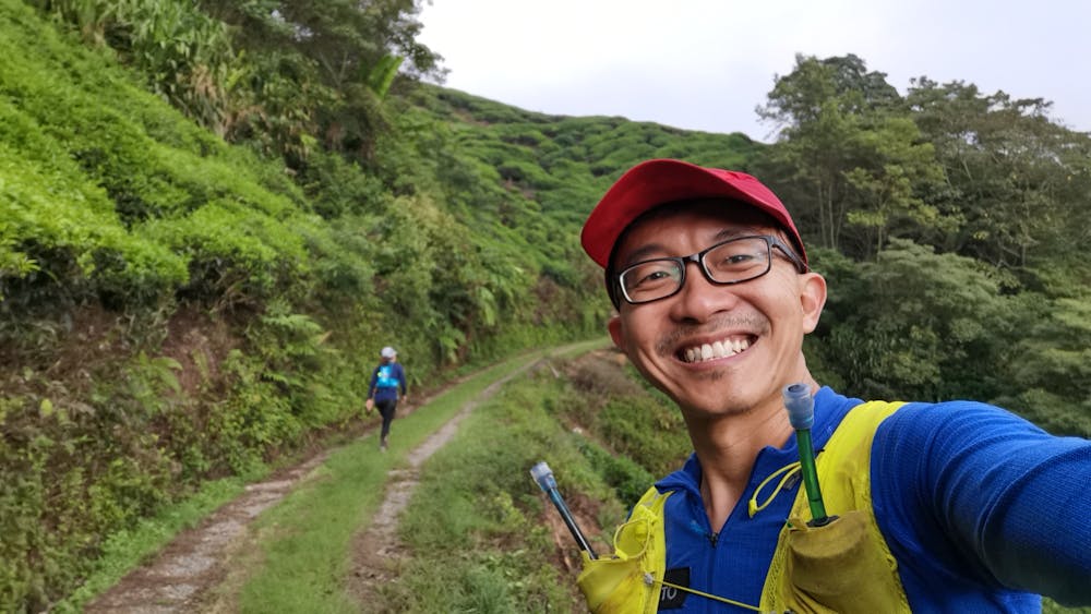
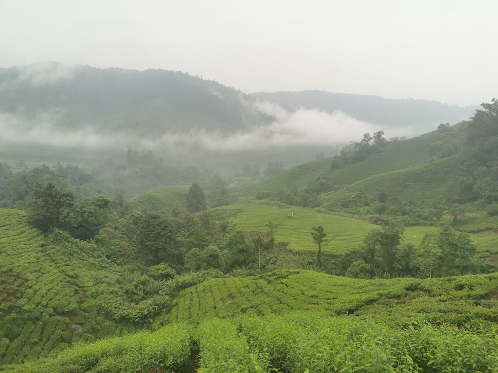
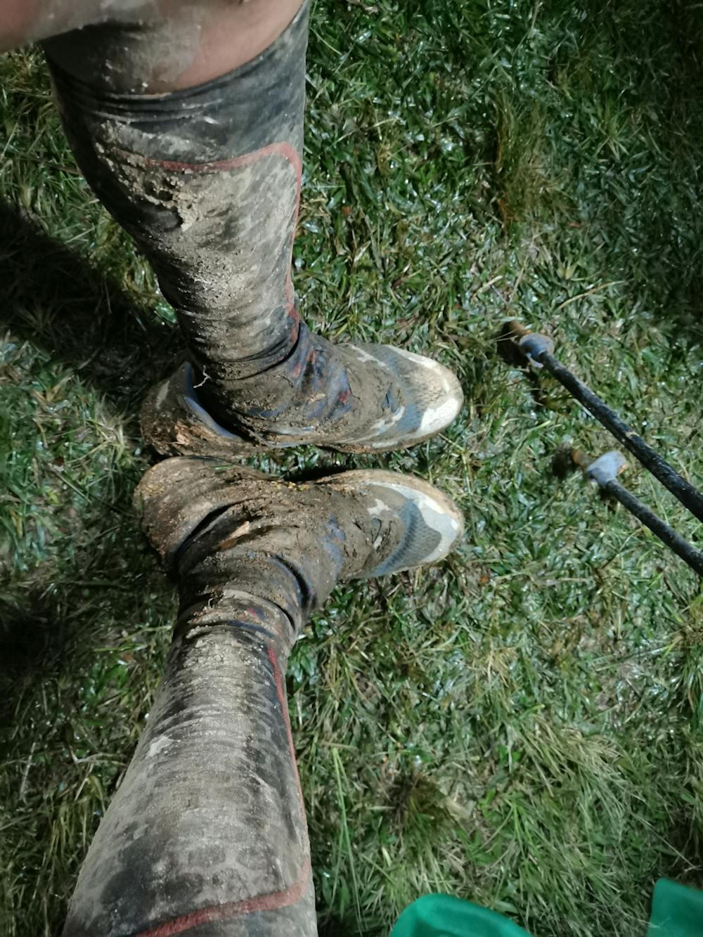
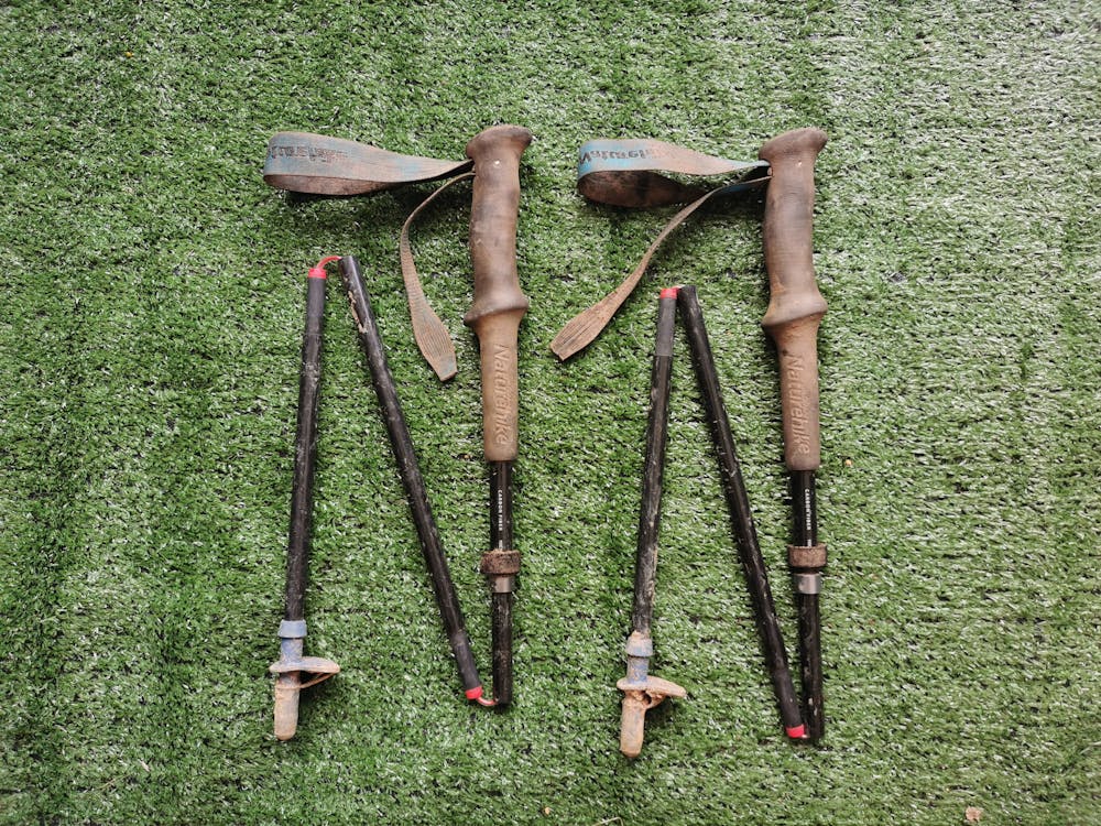
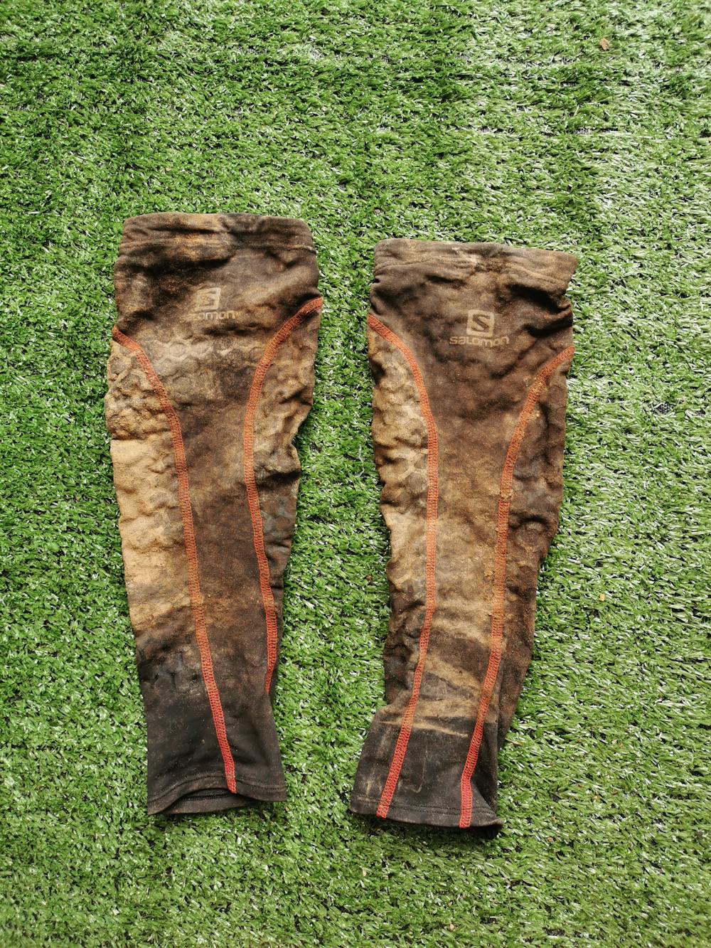
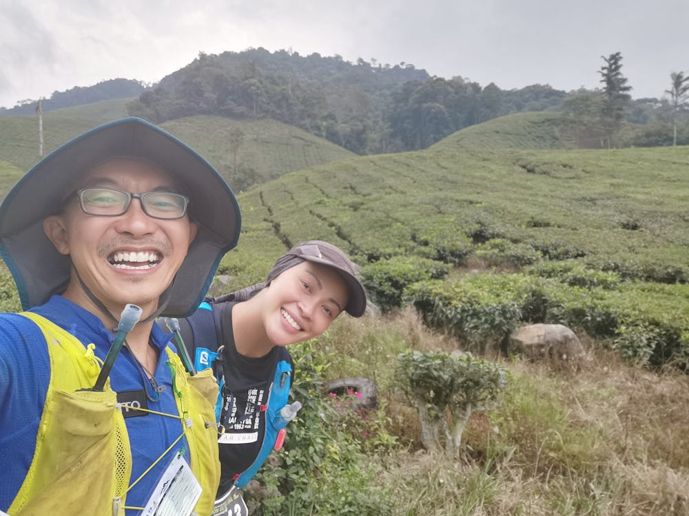
Breathtaking Tea Farm view, Rainday, Muds route make Brutal Hills Climb!!
Trail Running Easy
- Distance
- 106 km
- Ascent
- 4.2 km
- Descent
- 4.2 km
- Duration
- 1 day +
- Low Point
- 991 m
- High Point
- 1.8 km
- Gradient
- 14˚

This is a popular trail running route which is generally considered to be easy. It's remote, it features medium exposure and is typically done in undefined. From a low point of 991 m to the maximum altitude of 1.8 km, the route covers 106 km, 4160 vertical metres of ascent and 4160 vertical metres of descent.


- •
- •
- •
- •
- •
- •
- •
- •
- •
- •
- •
- •
- •
- •
- •
- •
- •
- •
- •
- •
- •
- •
- •
- •
- •
- •
- •
- •
- •
- •
- •
- •
- •
- •
- •
- •
- •
- •
- •
- •
- •
- •
- •
- •
- •
- •
- •
- •
- •
- •
- •
- •
- •
- •
- •
- •
- •
Description
Beautiful panoramic BOH tea farm view but you got to be mentally and physically well prepared to conquer the brutal and technical mountain climbs at Jasar, Sam Poh and Berembun !!
Difficulty
Easy
Medium Exposure

The trail contains some obstacles such as outcroppings and rock which could cause injury.
Remoteness
Away from help but easily accessed.