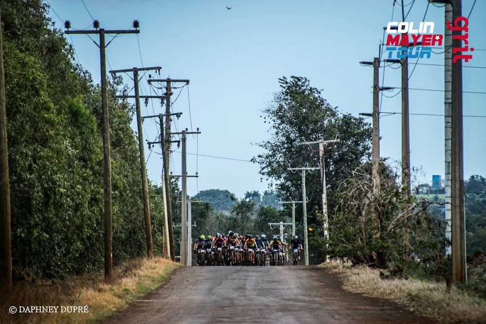
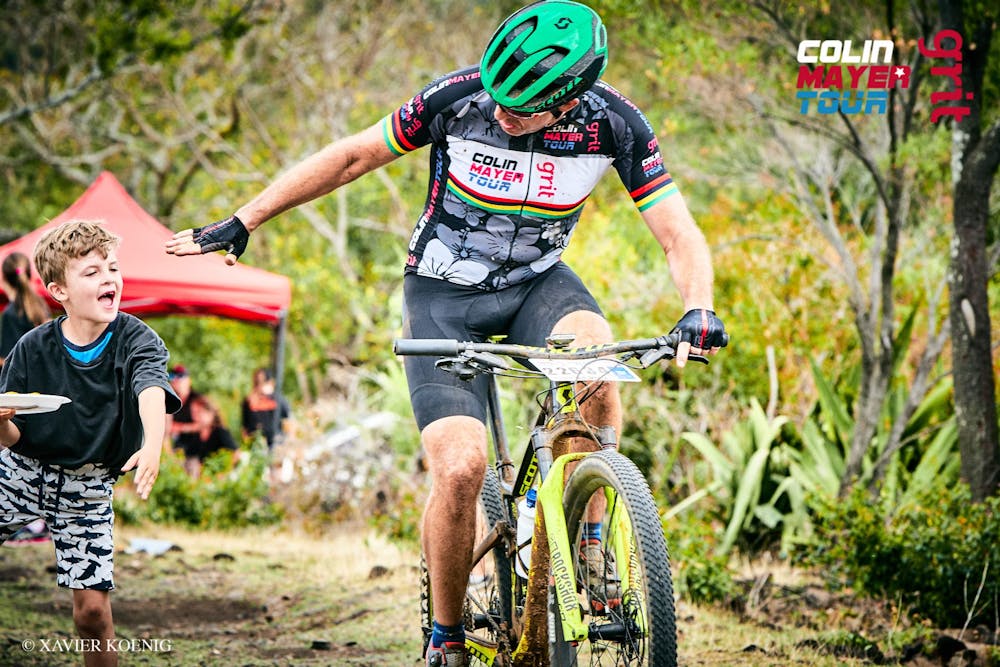
Colin Mayer Tour - Mauritius - Stage 2
The Uniciti Cross Country
Mountain Biking Severe
- Distance
- 54 km
- Ascent
- 941 m
- Descent
- 941 m
- Duration
- 4-5 hrs
- Low Point
- 4 m
- High Point
- 176 m
- Gradient
- 7˚

Starting at Sparc – Yemen – Matala – Domaine de Grande Rivière Noire – Domaine de Petite Rivière Noire – Case Noyal – Domaine de Petite Rivière Noire – Matala – Yemen Maingard – Tamarin Bay - Wolmar - Sparc

- •
- •
- •
- •
- •
- •
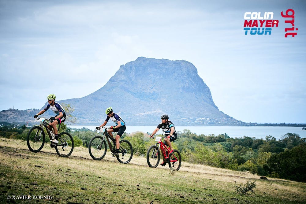
Description
Discover those unseen territories of the west when/while going through all the private reserves. Keep some legs for the Tamarin Bay beach.
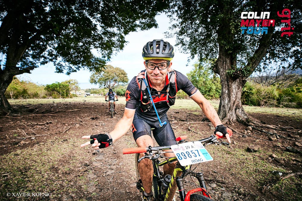
Difficulty
Severe
Widely variable, narrow trail tread with steeper grades and unavoidable obstacles of 15in/38cm tall or less. Obstacles may include unavoidable bridges 24in/61cm wide or less, large rocks, gravel, difficult root sections, and more. Ideal for advanced-level riders.