Batopilas 105K
The Most Remote Trail on the largest canyon system in the world.
Mountain Biking Difficult
- Distance
- 104 km
- Ascent
- 2.4 km
- Descent
- 4 km
- Duration
- 1 day +
- Low Point
- 574 m
- High Point
- 2.4 km
- Gradient
- 7˚

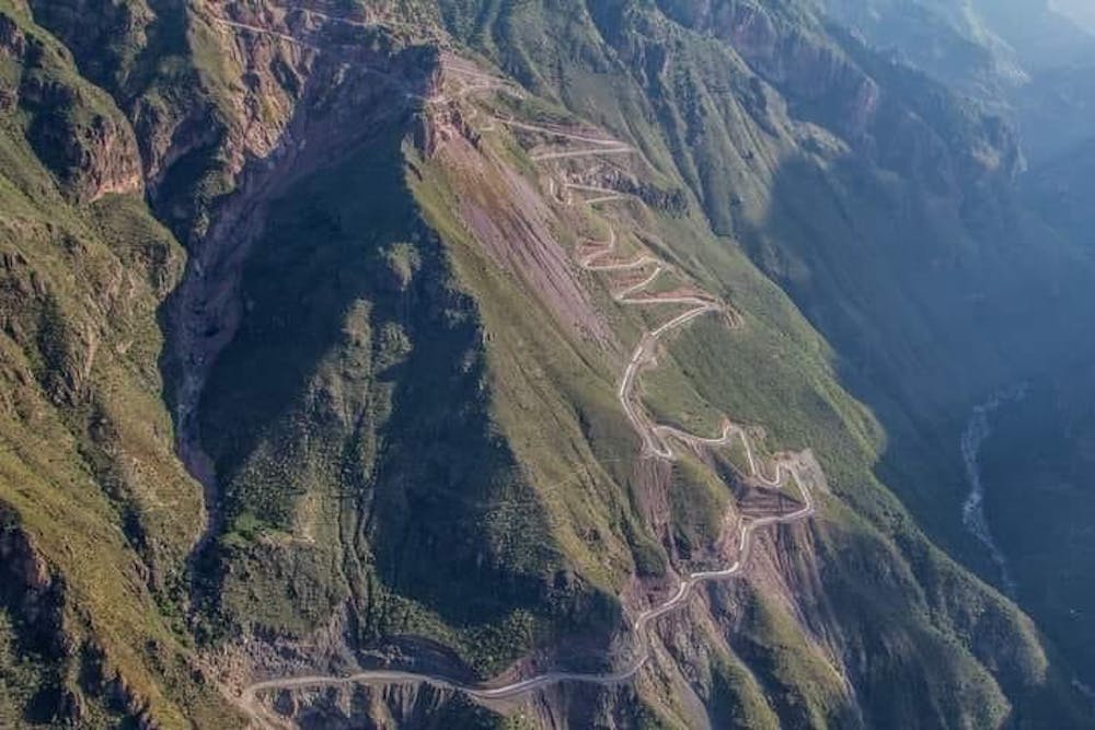
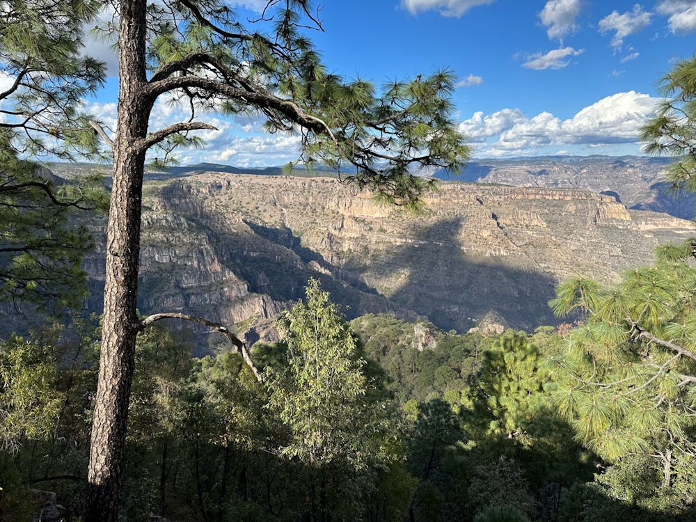
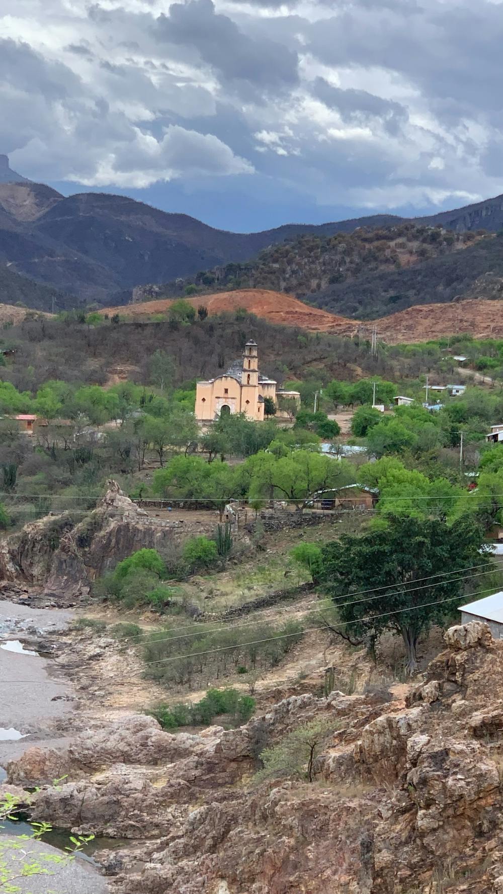
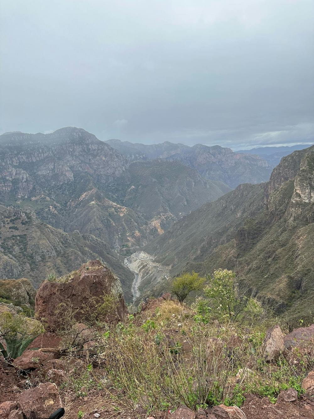
Batopilas Canyon, in the largest canyon system in the world, a unique descent down the remote Mexican Sierra Madre Occidental. Highest altitude at 2415m, almost 80K of mostly uphill road. Rounds up with a 20K zig zag downhill, (yes, 20K!) to a final altitude of 560m, more that 2300m down the canyon.
- •
- •
- •
- •
Difficulty
Difficult
Mostly stable trail tread with some variability featuring larger and more unavoidable obstacles that may include, but not be limited to: bigger stones, roots, steps, and narrow curves. Compared to lower intermediate, technical difficulty is more advanced and grades of slopes are steeper. Ideal for upper intermediate riders.
Medium Exposure

The trail contains some obstacles such as outcroppings and rock which could cause injury.
Remoteness

In the high mountains or remote conditions, all individuals must be completely autonomous in every situation.
Best time to visit
Features
- Picturesque
- In the forest
- Wet-weather friendly