843 m away
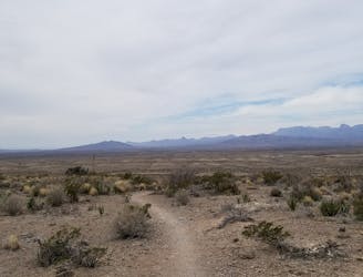
Boquillas Canyon Trail
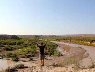
A fun, family-friendly hike with both clifftop and riverside views of Boquillas Canyon.
Moderate Hiking
- Distance
- 2.1 km
- Ascent
- 49 m
- Descent
- 49 m
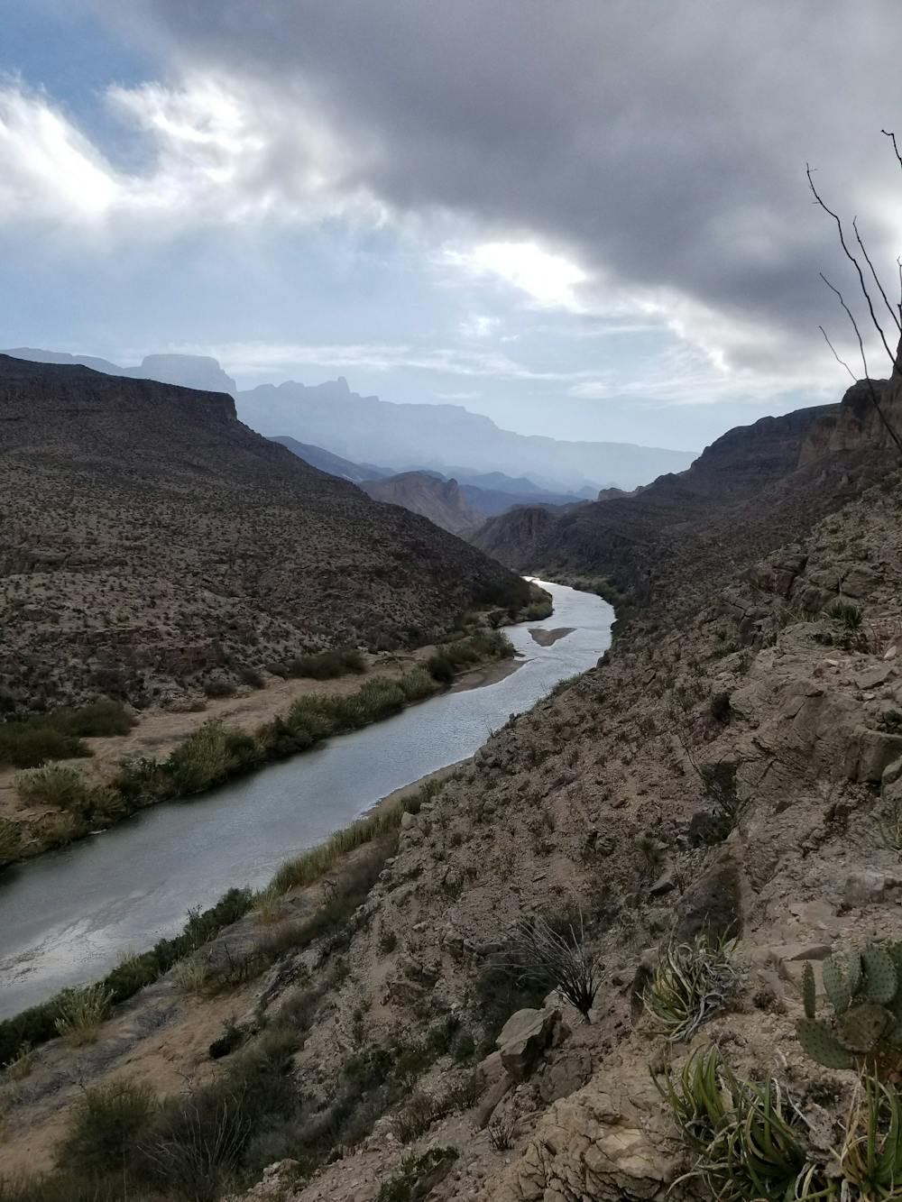
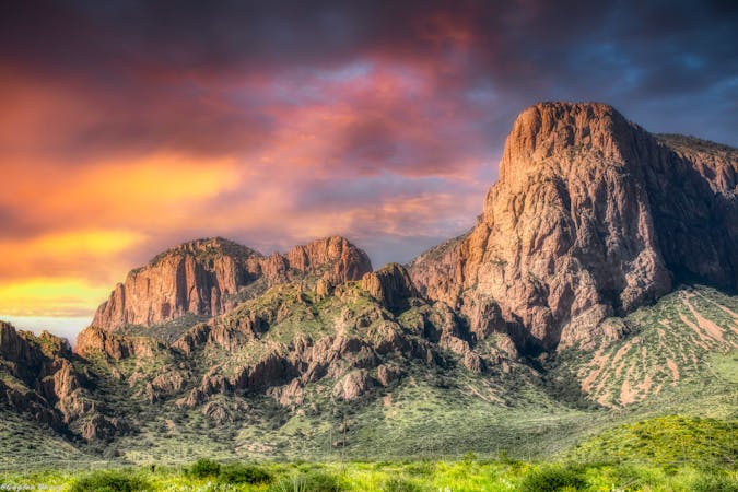
A remote loop in Big Bend National Park that traverses through a canyon and offers stunning views of the Rio Grande.
Hiking Severe

The Marufo Vega trail is typically completed as a long day hike, or as an overnight trip. There are several smaller camping areas along the way, but no official developed sites or resupply points.
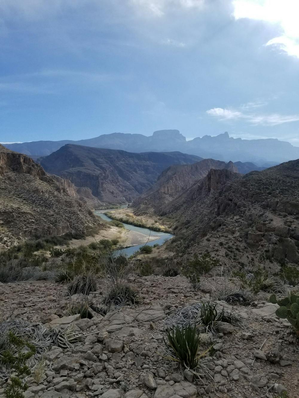
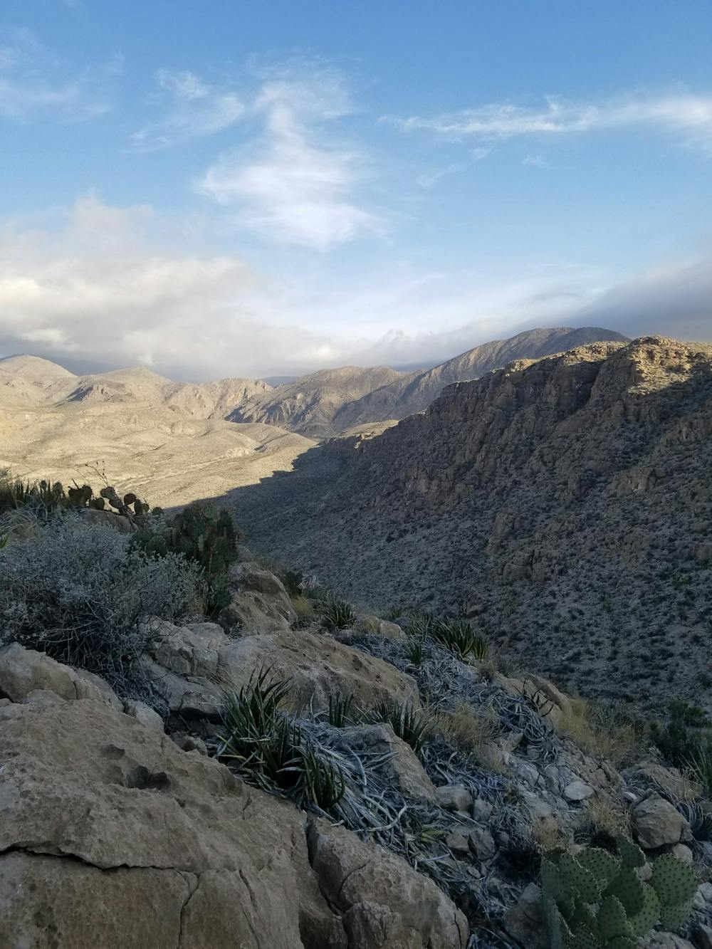
The hike is what many refer to as a "lollipop" loop, both starting and ending on the same stretch of trail with a loop on the end. The loop can be done in either direction, though after hiking this loop several times, counter-clockwise was the preferred direction. This direction will take you to the highest point and best overlook slightly quicker than the other.
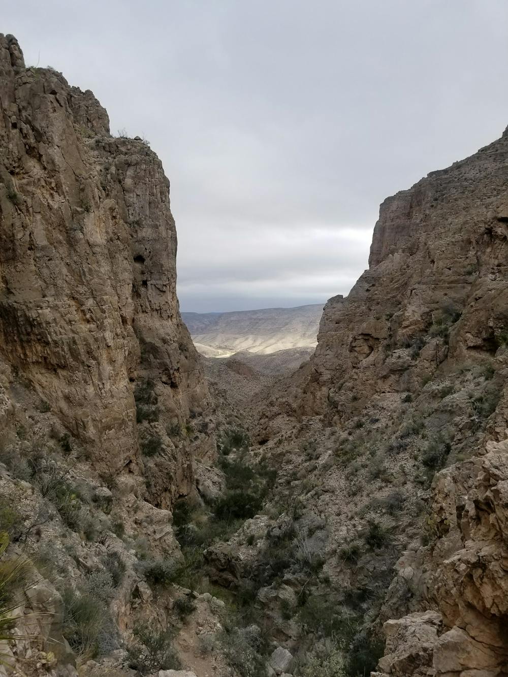
From the small parking area, the trail heads into a drainage with multiple side trails to historic mining remnants. From here, you will need to be familiar with these adjacent trails, as the trail markings are very minimal and can easily lead one significantly off route.
These mining remnants are a glimpse into the past, as they formerly used a rudimentary cable system to mine Silver, Fluoride, and other materials beneath the highest mountain peaks in the distance. From there, they would transfer the materials into boats where they could float them upstream to El Paso where they could be sold.
After leaving the wash, the trail ascends through a gap and into the next drainage. Following another similar climb, the trail then continues gradually through beautiful remote areas that highlight the remote feel of the Big Bend.
If doing the route in a counter-clockwise direction, the trail traverses along a bench cut that ultimately leads to the highest points of the route.
After descending from the high point, the trail drops towards the river where it follows a sandy bluff just a couple hundred feet above it. Climbing back to the trail intersection is easier to navigate from this direction as your perspective will be from the bottom looking up, and not in reverse.
After completing the loop, the trail follows the same stretch back to the trailhead.
Severe
Hiking challenging trails where simple scrambling, with the occasional use of the hands, is a distinct possibility. The trails are often filled with all manner of obstacles both small and large, and the hills are very steep. Obstacles and challenges are often unexpected and can be unpredictable.

The trail contains some obstacles such as outcroppings and rock which could cause injury.
Away from help but easily accessed.
843 m away
A fun, family-friendly hike with both clifftop and riverside views of Boquillas Canyon.
Moderate Hiking
4.6 km away
A popular hike through a historic region of Big Bend National Park.
Moderate Hiking
12 routes · Hiking
4 routes · Hiking