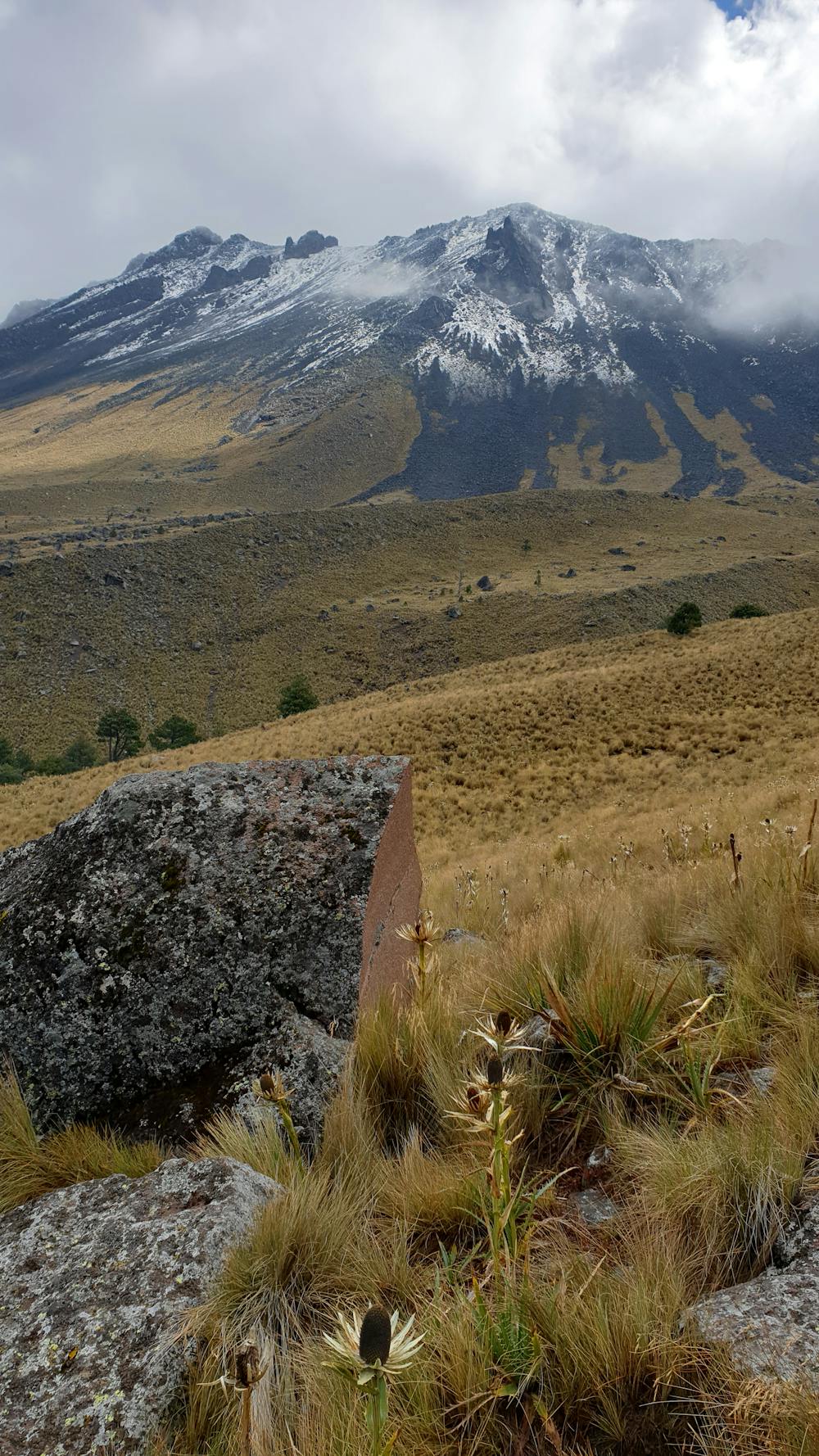
Nevado de Toluca
"Traversias Mexico" is the company who will make the dream come true...
Trail Running Moderate
- Distance
- 8.1 km
- Ascent
- 857 m
- Descent
- 857 m
- Duration
- 1-2 hrs
- Low Point
- 3.8 km
- High Point
- 4.6 km
- Gradient
- 20˚

This is a popular trail running route which is generally considered to be moderate. It's remote, it features extreme exposure and is typically done between November and March. From a low point of 3.8 km to the maximum altitude of 4.6 km, the route covers 8.1 km, 857 vertical metres of ascent and 857 vertical metres of descent.
- •
- •
- •
- •
- •
Description
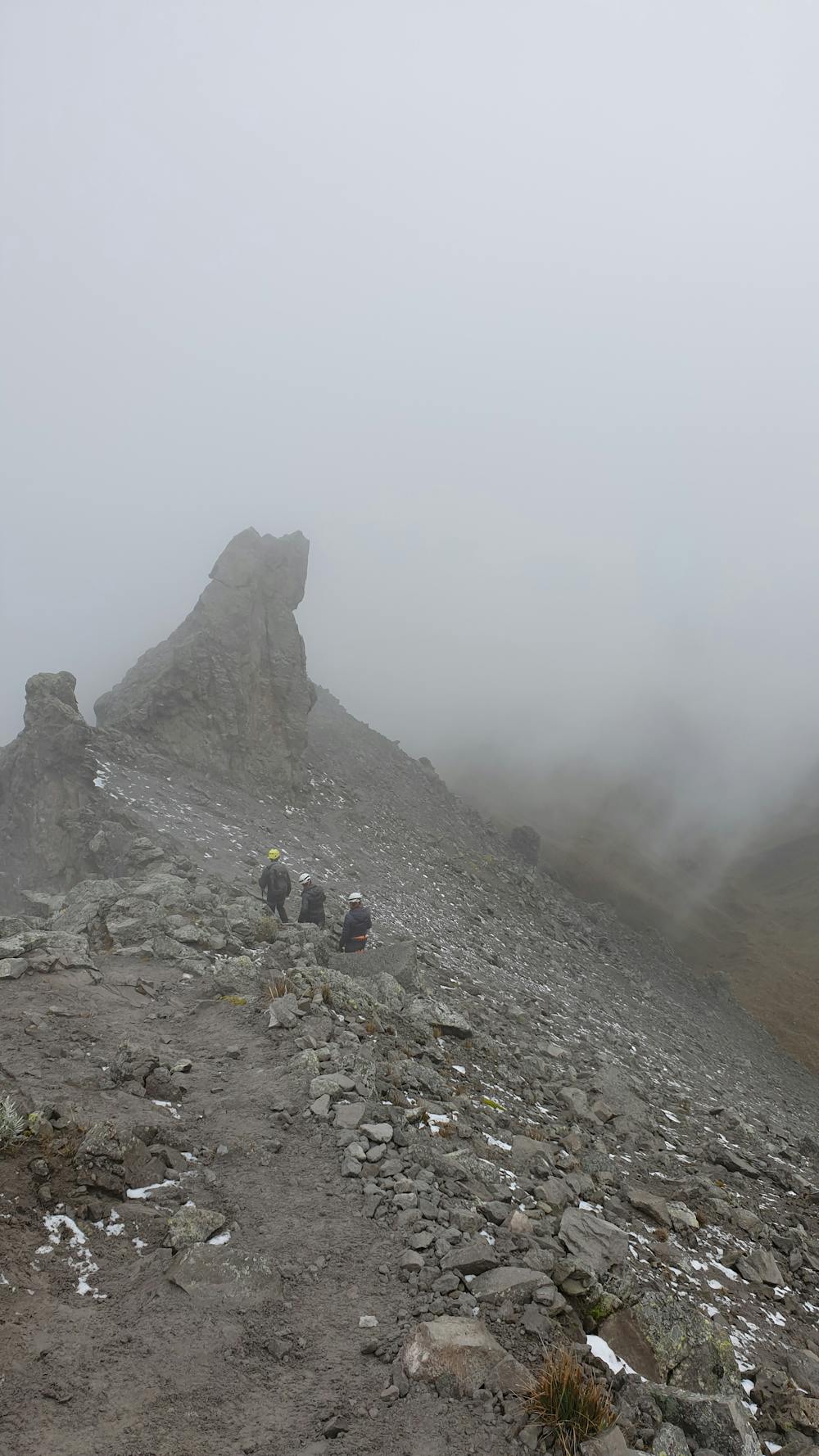
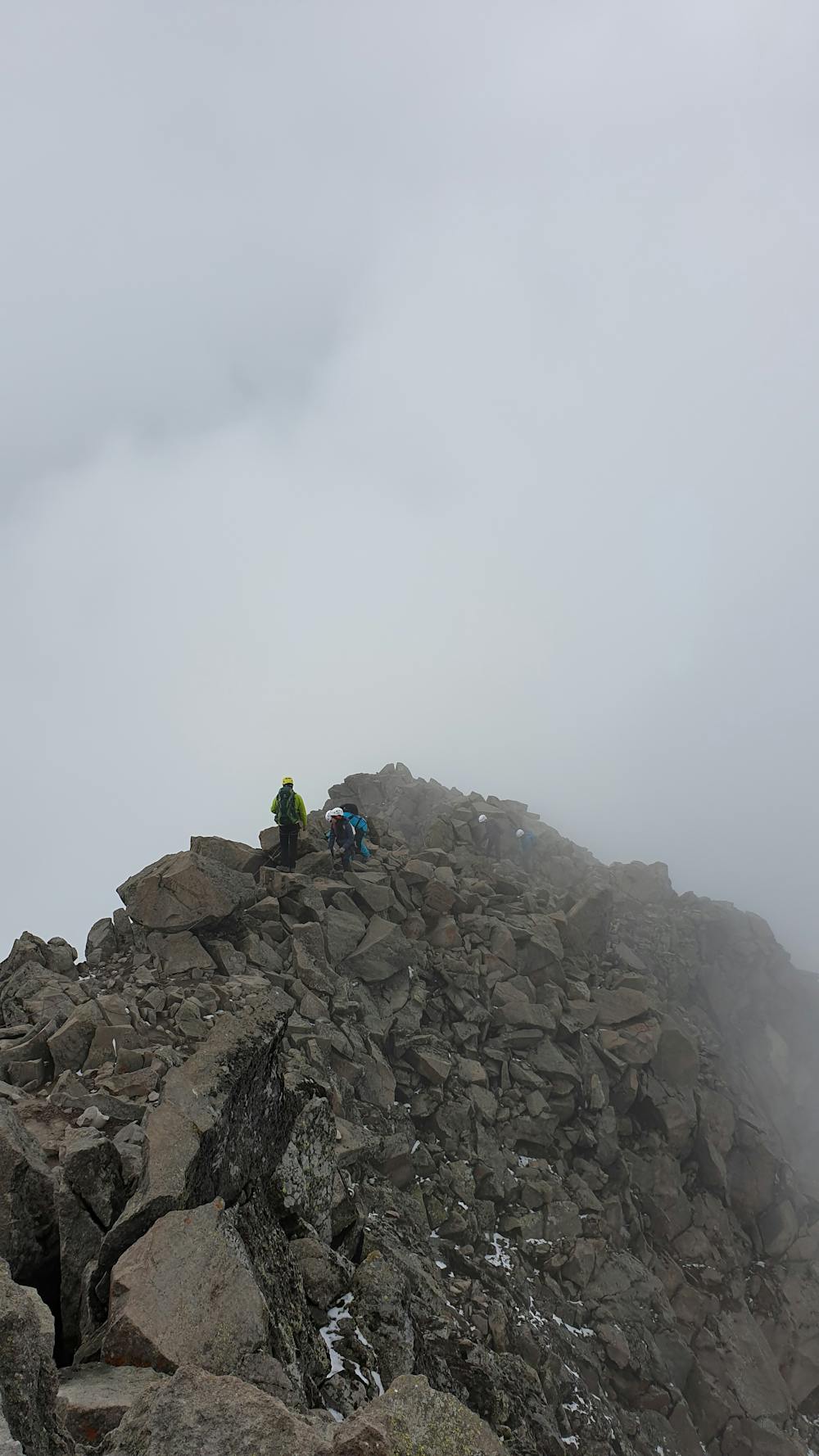
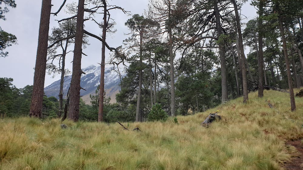
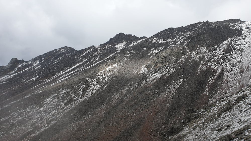
This trecking is another way of reaching the summit of Nevado de Toluca. The route is more wild. The first part will bring you through the forest before discovering the summit above the tree line made of rocks.
Difficulty
Moderate
Extreme Exposure

Some trail sections are extremely exposed where falling will almost certainly result in serious injury or death.
Remoteness

Away from help but easily accessed.