UMAM 2024 105K
ULTRA MARATON DE LAS ALTAS MONTAÑAS UMAM 2024 105K
Trail Running Severe
- Distance
- 103 km
- Ascent
- 5.6 km
- Descent
- 5.6 km
- Duration
- 1 day +
- Low Point
- 1.5 km
- High Point
- 4.3 km
- Gradient
- 13˚

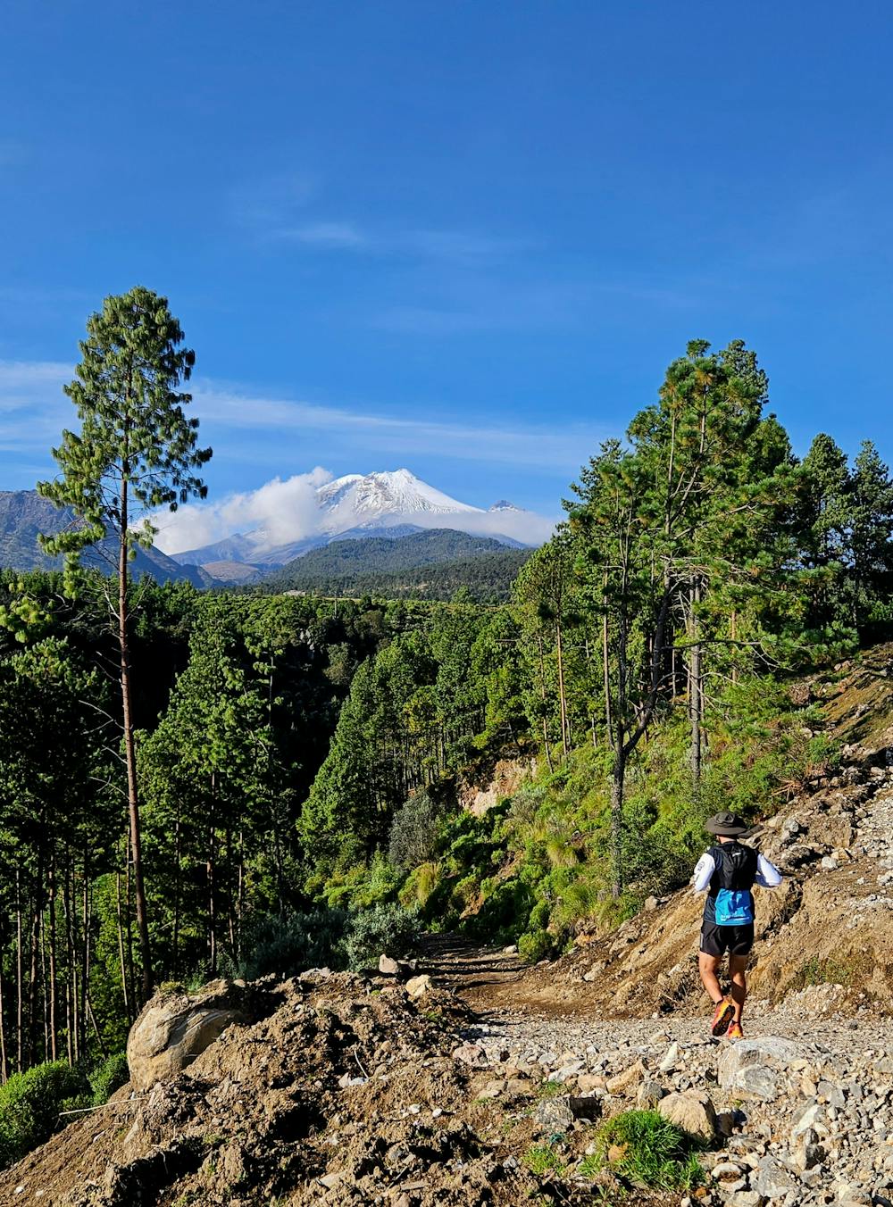
This is a popular trail running route which is generally considered to be severe. It's remote, it features medium exposure and is typically done between November and April. From a low point of 1.5 km to the maximum altitude of 4.3 km, the route covers 103 km, 5591 vertical metres of ascent and 5590 vertical metres of descent.
Description
Cara norte del Citlaltepetl y cañones del río Jamapa
Difficulty
Severe
Medium Exposure

The trail contains some obstacles such as outcroppings and rock which could cause injury.
Remoteness
Away from help but easily accessed.