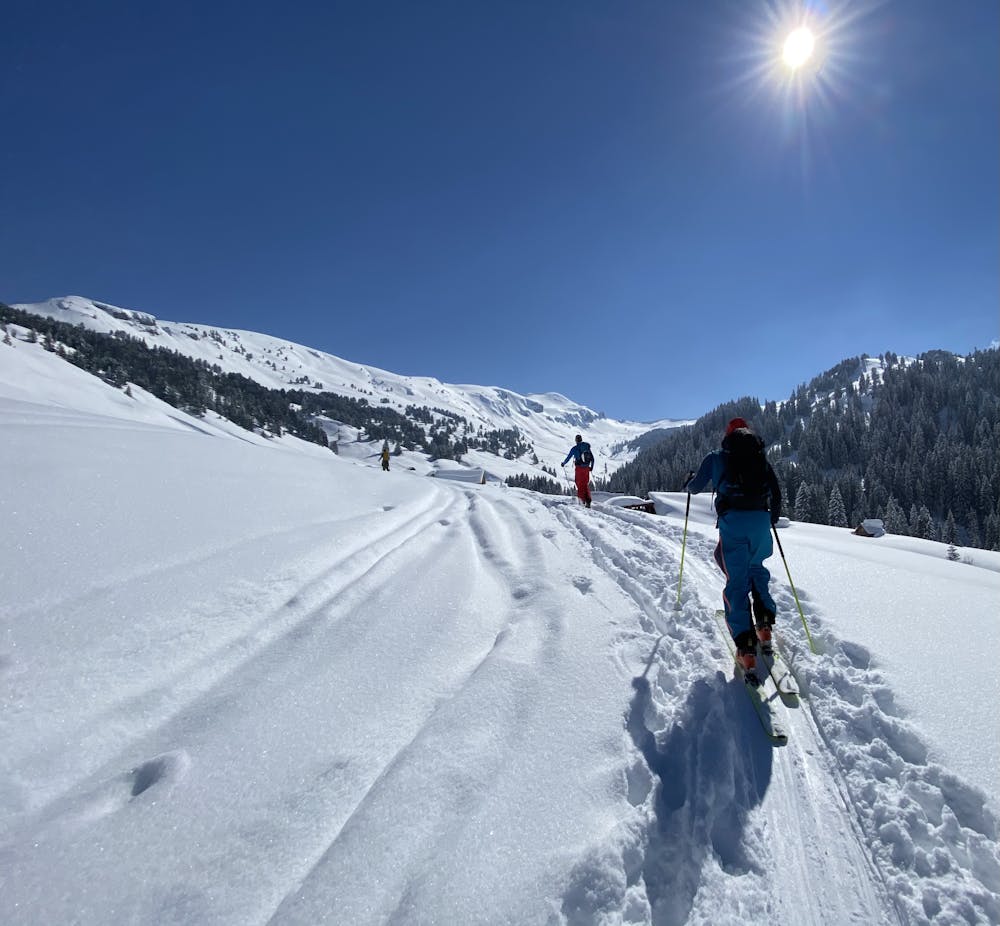
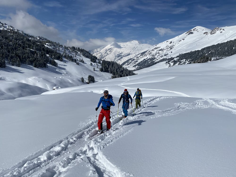
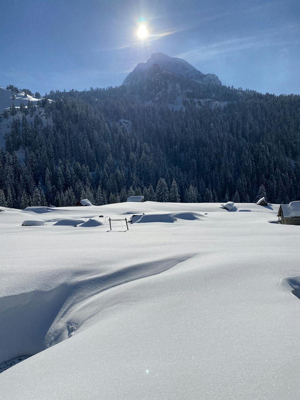
Bogicevica
Freetouring from Babino Polje to Bogicevica
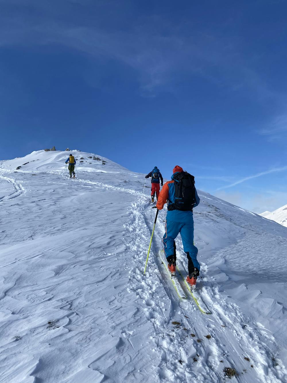
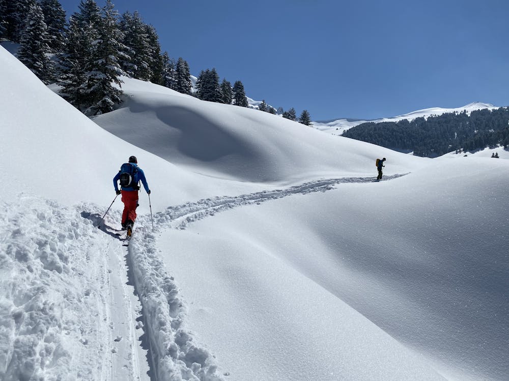
Ski Touring Moderate
- Distance
- 18 km
- Ascent
- 863 m
- Descent
- 863 m
- Duration
- 6-7 hrs
- Low Point
- 1.5 km
- High Point
- 2.2 km
- Gradient
- 16˚

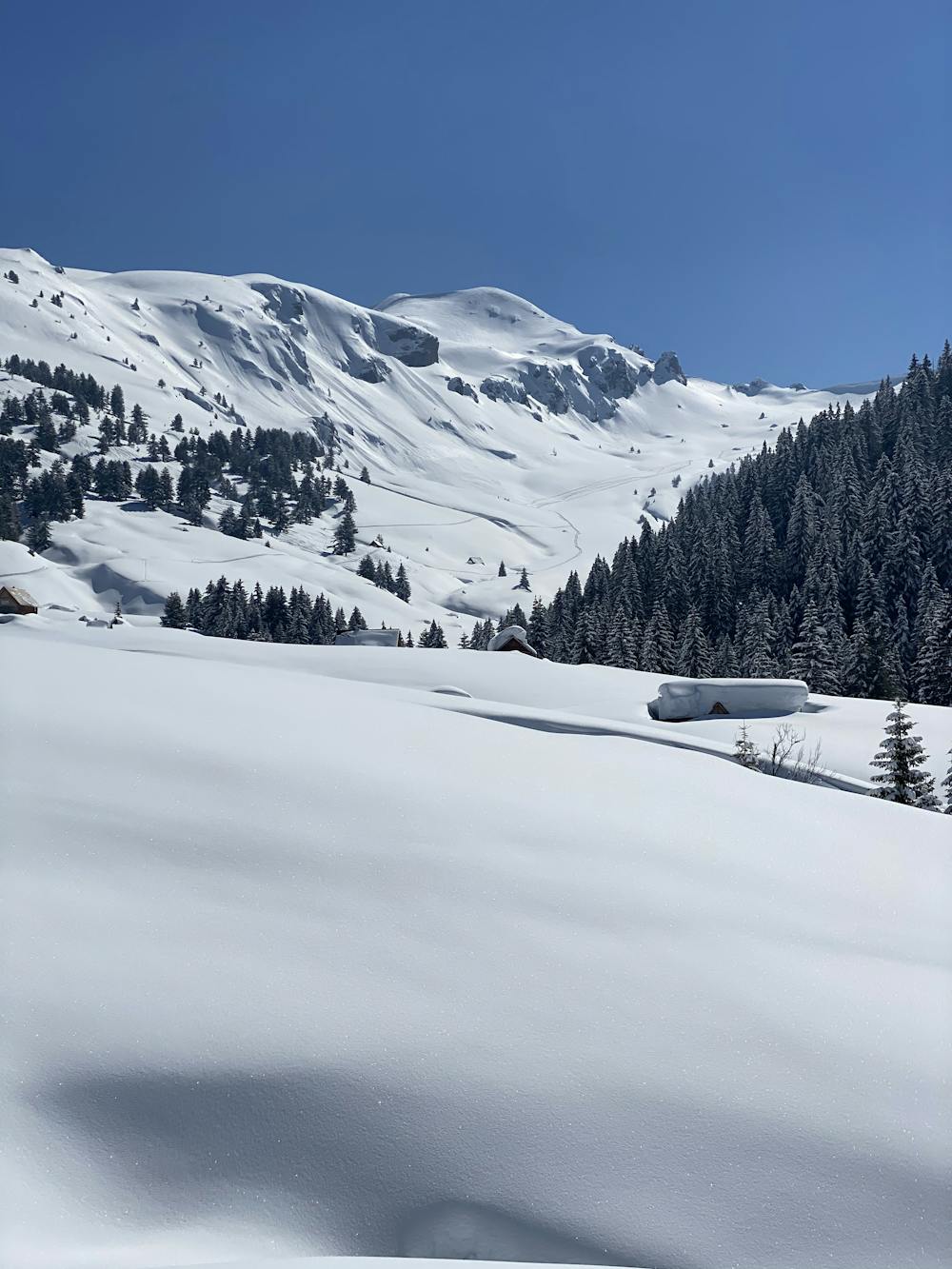
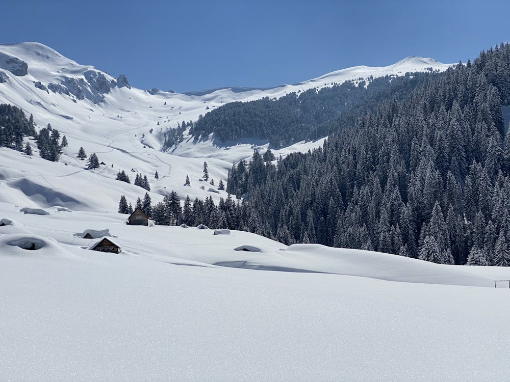
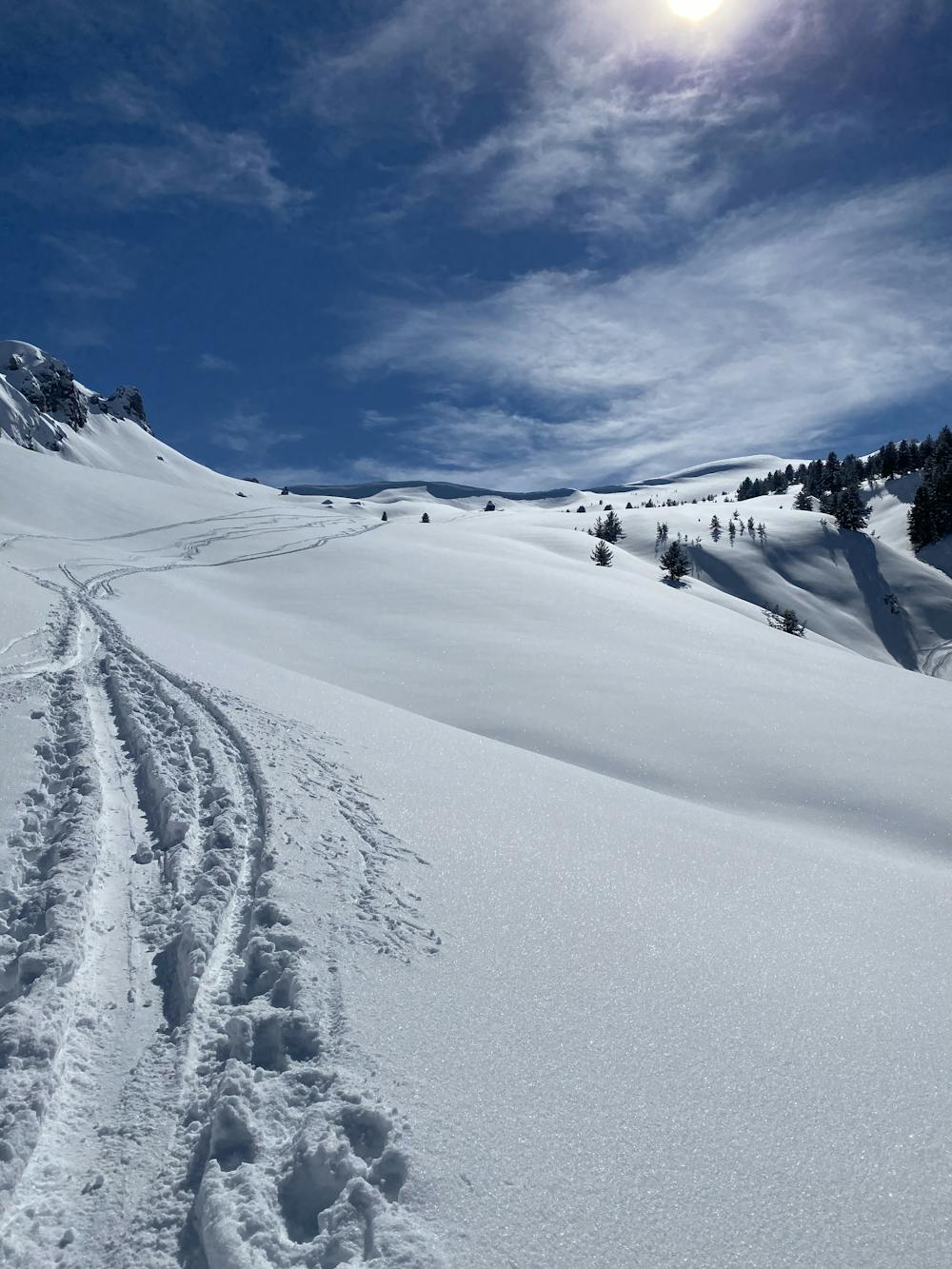
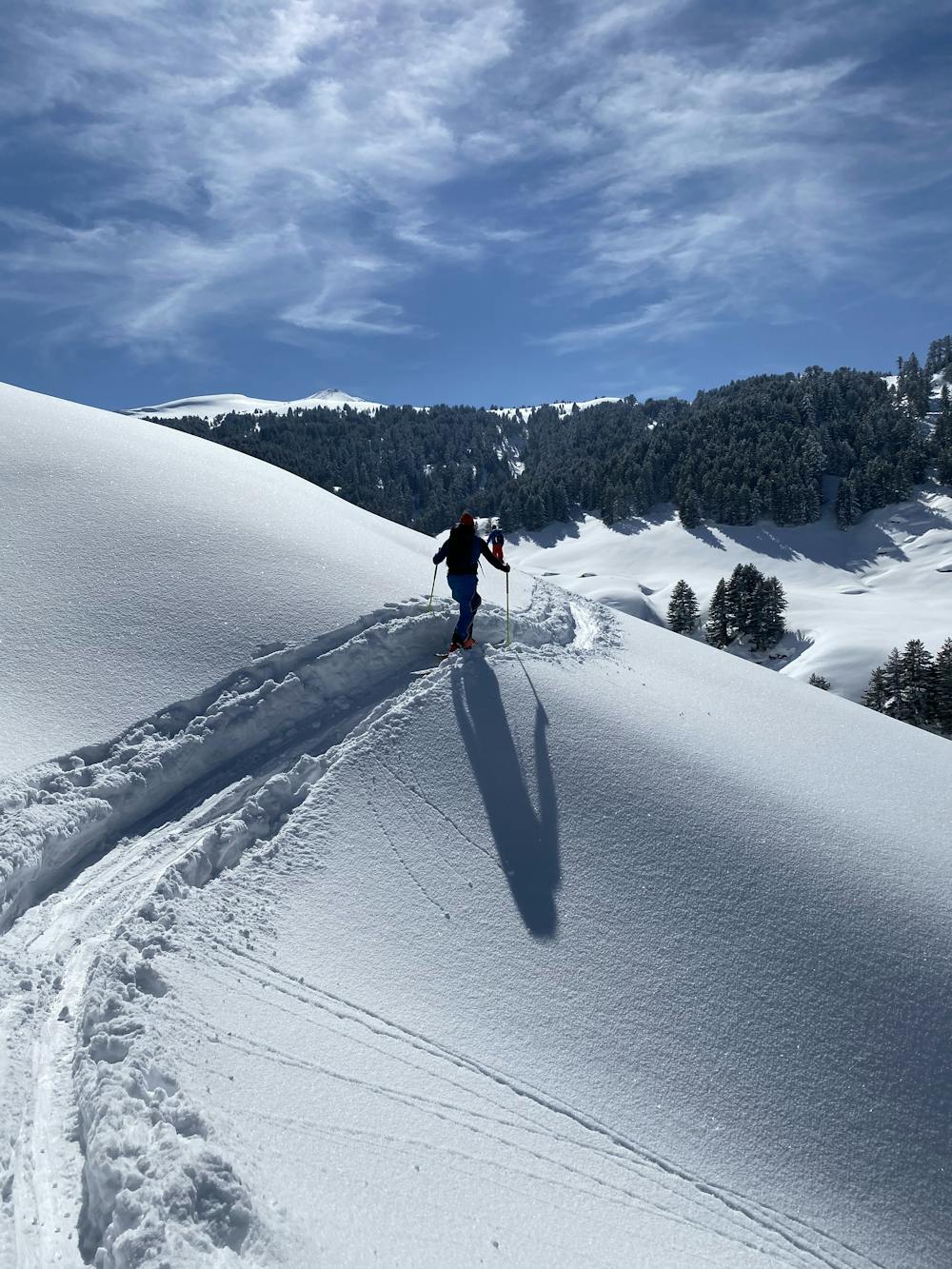
This is a popular ski touring route which is generally considered to be moderate. It's remote, it features low exposure (e1) and is typically done between March and April. From a low point of 1.5 km to the maximum altitude of 2.2 km, the route covers 18 km, 863 vertical metres of ascent and 863 vertical metres of descent. You'll need skins to complete it safely.
- •
- •
- •
- •
- •
- •
- •
- •
- •
Description
Epic destination for backcountry skiing
Difficulty
Moderate
Slopes become slightly steeper at around 25-30 degrees.
Low Exposure (E1)

Exposure is limited to that of the slope itself. Getting hurt is still likely if the slope is steep and/or the snow is hard.
Remoteness

Away from help but easily accessed.
Best time to visit
Features
- Ski Mountaineering
Equipment required
- Skins