908 m away
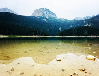
Black Lake Loop

A family-friendly forest walk to Durmitor National Park's highlight.
Moderate Hiking
- Distance
- 5.3 km
- Ascent
- 175 m
- Descent
- 175 m

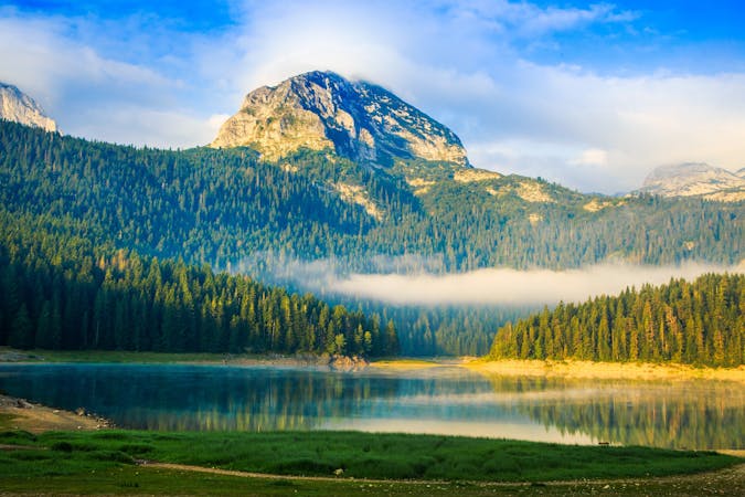
Bobotov Kuk peak from Black Lake
Hiking Difficult

This is a popular hiking route which is generally considered to be difficult. It's very remote, it features high exposure and is typically done between June and September. From a low point of 1.5 km to the maximum altitude of 2.4 km, the route covers 6.7 km, 1085 vertical metres of ascent and 134 vertical metres of descent.
Rocky trail for adventurous hikers that enjoy a longer trail passing trough Durmitor mountains ( an aproach from the north side.) for any aditional info feel free to contact me on Instagram @milovanovskii
Difficult
Hiking trails where obstacles such as rocks or roots are prevalent. Some obstacles can require care to step over or around. At times, the trail can be worn and eroded. The grade of the trail is generally quite steep, and can often lead to strenuous hiking.
908 m away

A family-friendly forest walk to Durmitor National Park's highlight.
Moderate Hiking
1.1 km away

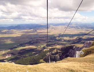
An idyllic forest hike followed by a scenic ski lift ride to Savin Kuk Peak.
Moderate Hiking
7.8 km away

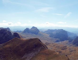
A heroic uphill hike with a thrilling downhill scramble to the best views of the Durmitor Massif.
Severe Hiking

3 routes · Hiking