Hike, climb and Fly Mount Lico
Second team ascent of Mount Lico and first BASE jump from summit
Hiking Severe
- Distance
- 3.4 km
- Ascent
- 570 m
- Descent
- 471 m
- Duration
- 4-5 hrs
- Low Point
- 489 m
- High Point
- 1 km
- Gradient
- 29˚

This is a popular hiking route which is generally considered to be severe. It's extremely remote, it features extreme exposure and is typically done in an unknown time of year. From a low point of 489 m to the maximum altitude of 1 km, the route covers 3.4 km, 570 vertical metres of ascent and 471 vertical metres of descent.
- •
- •
- •
- •
Description
A faint path from the BASE camp leads to the start of the climb. 120m of slab climbing to reach the summit Forrest.
Difficulty
Severe
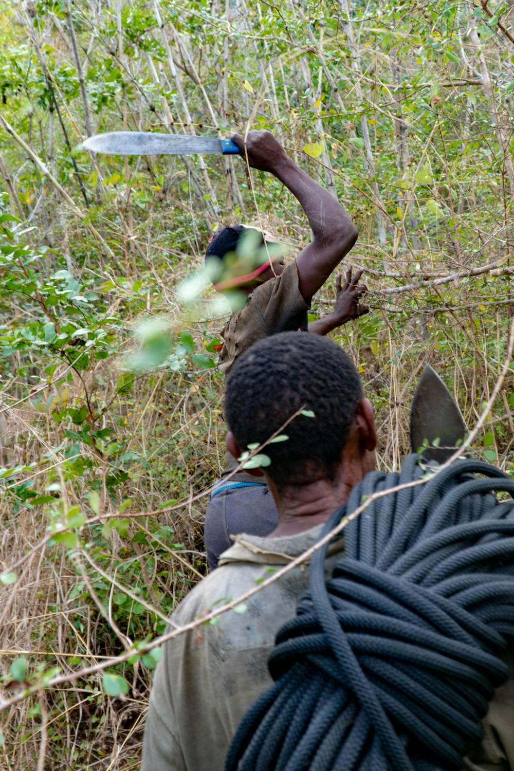
Hiking challenging trails where simple scrambling, with the occasional use of the hands, is a distinct possibility. The trails are often filled with all manner of obstacles both small and large, and the hills are very steep. Obstacles and challenges are often unexpected and can be unpredictable.
Extreme Exposure

Some trail sections are extremely exposed where falling will almost certainly result in serious injury or death.
Remoteness
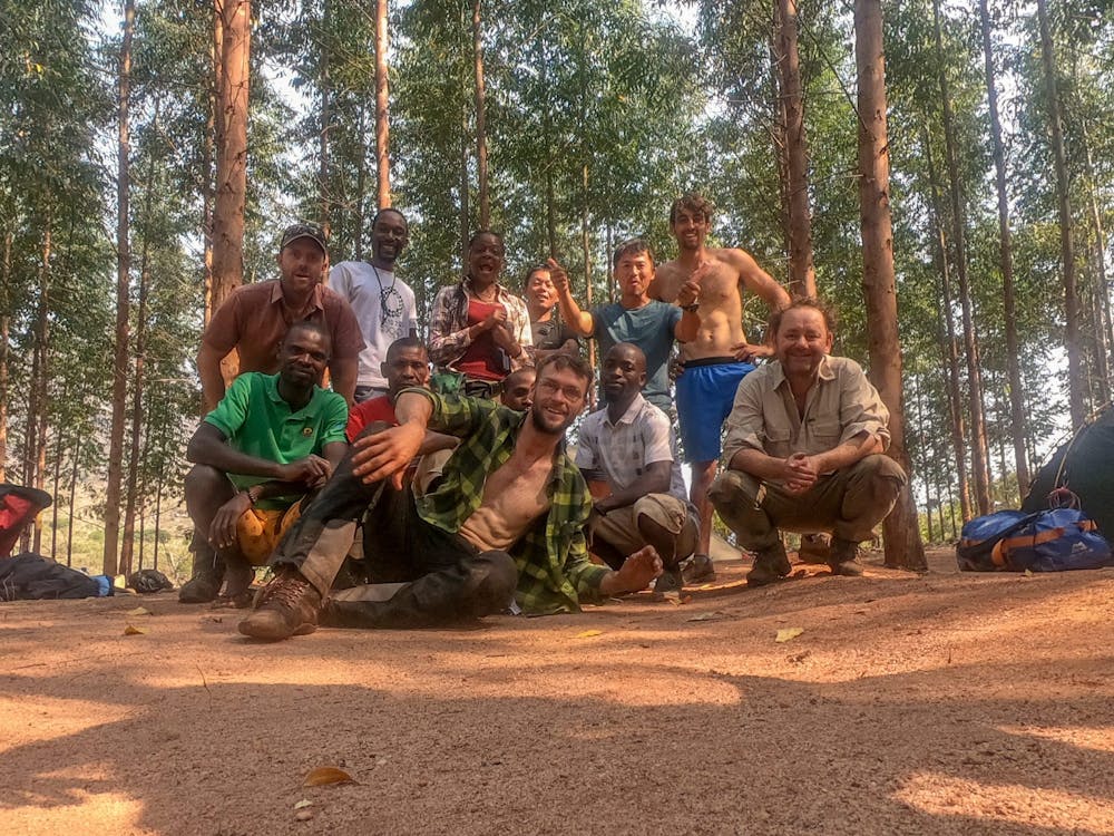
In the high mountains or remote conditions, all individuals must be completely autonomous in every situation.
Features
- Picturesque
- Summit Hike
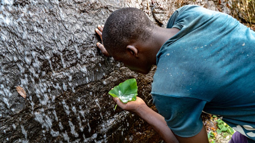
- Water features
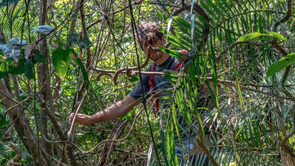
- Forestry or heavy vegetation