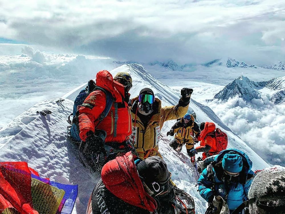
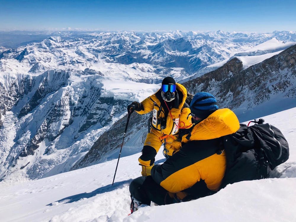
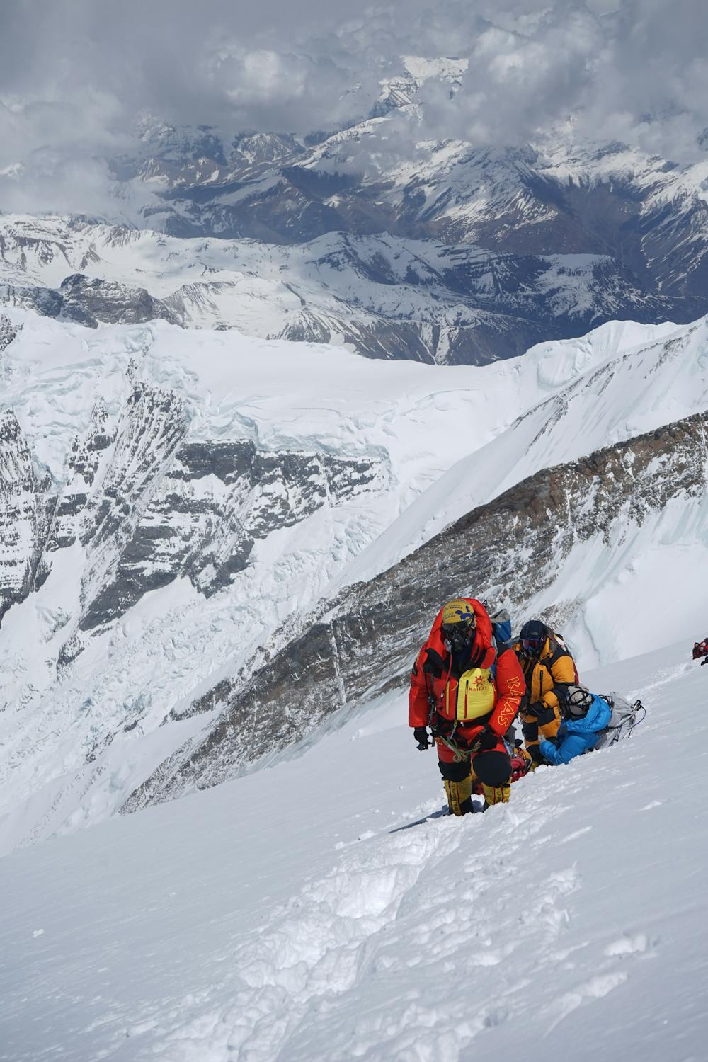
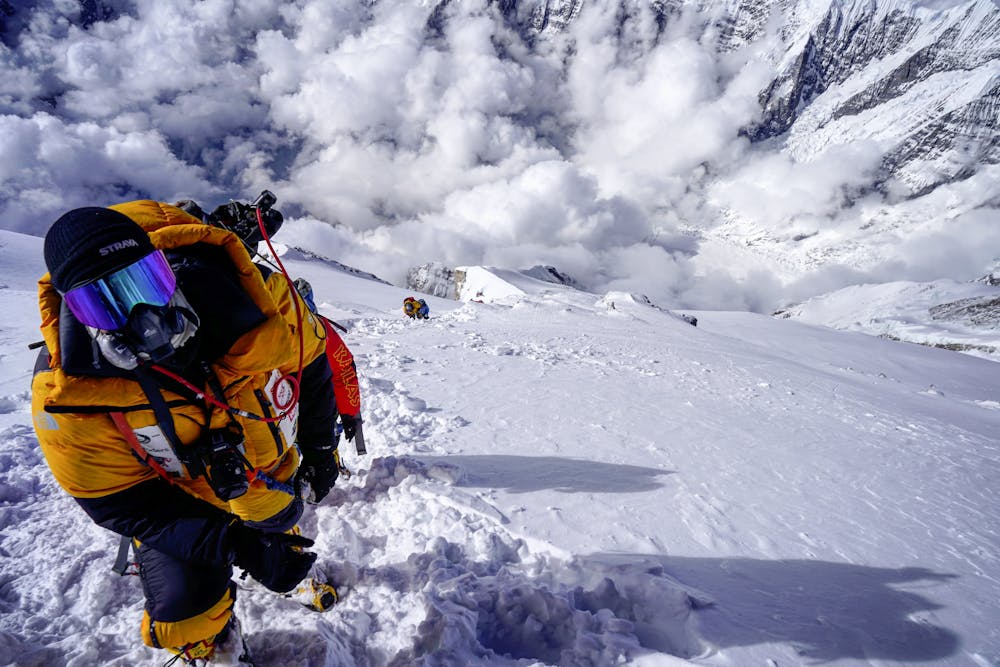
Annapurna Summit Day
South Annapurna
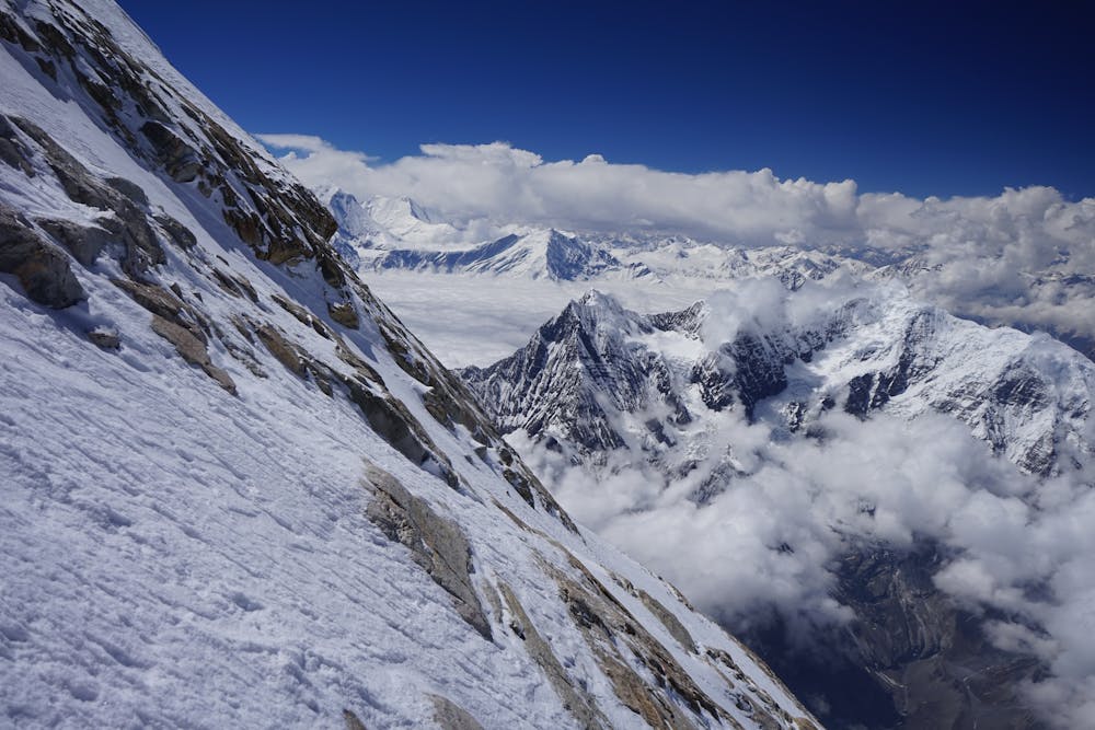
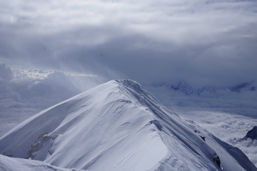
Fortunately, summit day couldn't have had better conditions. There was no wind and blue skies (mostly). Had the weather been anything other than this it would have certainly changed the difficulty rating to extreme. That said, we were climbing into the Death Zone where there is a third of the oxygen than at sea level. Climbed through the night which is always cold and seems to go on forever but all was well! Then we had a long trek to the summit which we arrived at about 3pm. This is usually later than usual on an '8,000er' but we were held up by deep snow. All went well though despite the odds!
Alpine Climbing Severe
- Distance
- 1.6 km
- Ascent
- 1.1 km
- Descent
- 8 m
- Low Point
- 6.9 km
- High Point
- 8 km
- Gradient
- 41˚

This is a popular alpine climbing route which is generally considered to be severe. It's extremely remote, it features extreme exposure and is typically done in undefined. From a low point of 6.9 km to the maximum altitude of 8 km, the route covers 1.6 km, 1090 vertical metres of ascent and 8 vertical metres of descent. You'll need ice axe, crampons and glacier kit to complete it safely.
- •
- •
- •
- •
- •
- •
Description
A long but successful summit day on Annapurna 1
Difficulty
Severe
Steep, sustained and serious terrain on rock/ice. Routes will be long, exposed and possibly committing. D, D+
Extreme Exposure

The majority of the route is "no fall" terrain.
Remoteness
In the high mountains or remote conditions, all individuals must be completely autonomous in every situation.
Best time to visit
Equipment required
- Ice axe
- Crampons
- Glacier kit