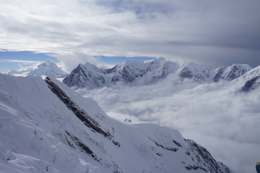
Camp 3 to Camp 4
South Annapurna
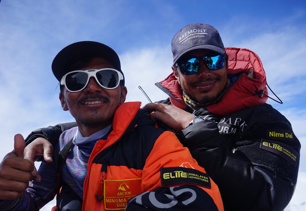
What I thought was going to be a short climb ended up being a bit of a slog!
Alpine Climbing Severe
- Distance
- 656 m
- Ascent
- 427 m
- Descent
- 0 m
- Low Point
- 6.4 km
- High Point
- 6.9 km
- Gradient
- 39˚
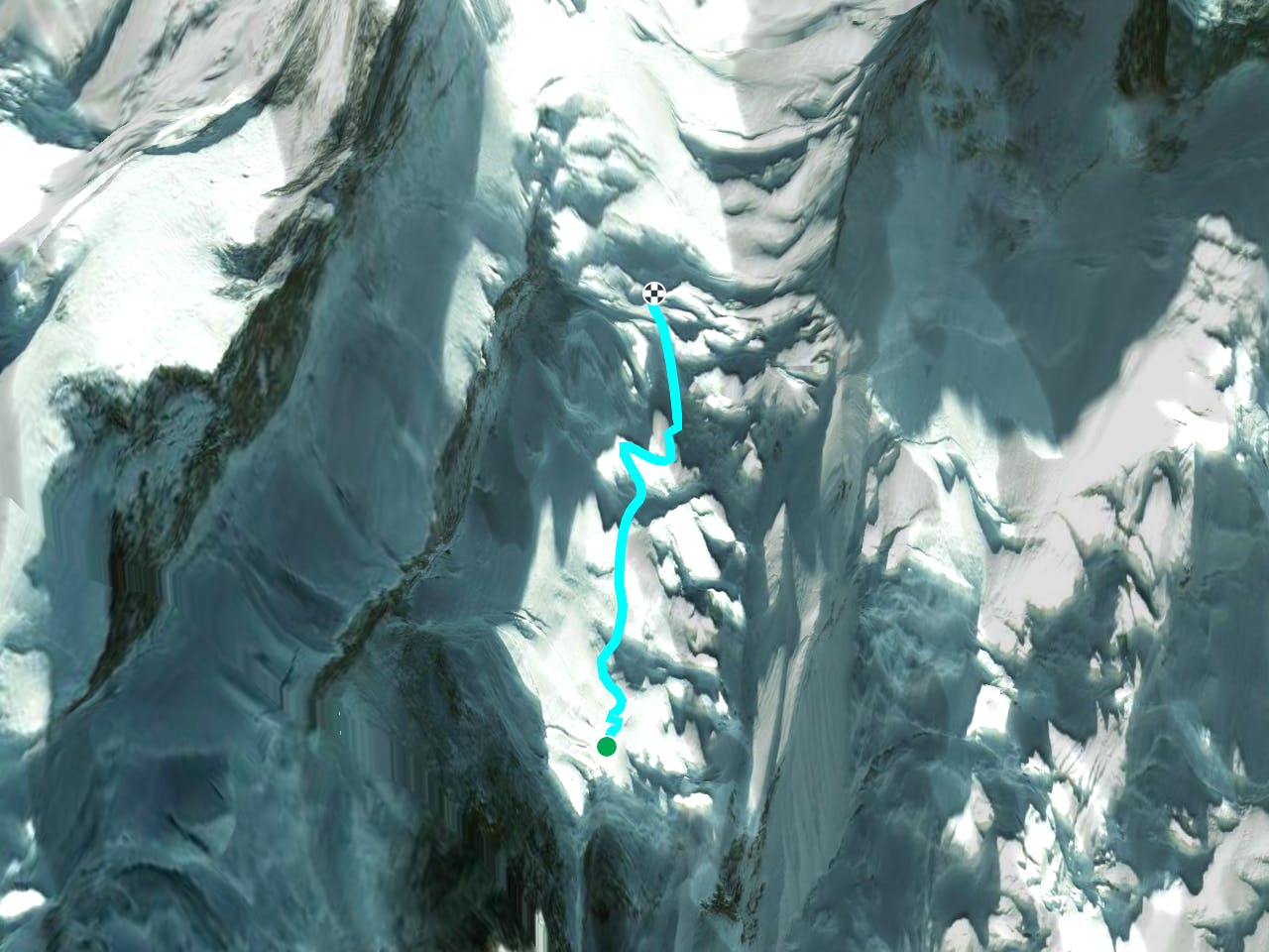
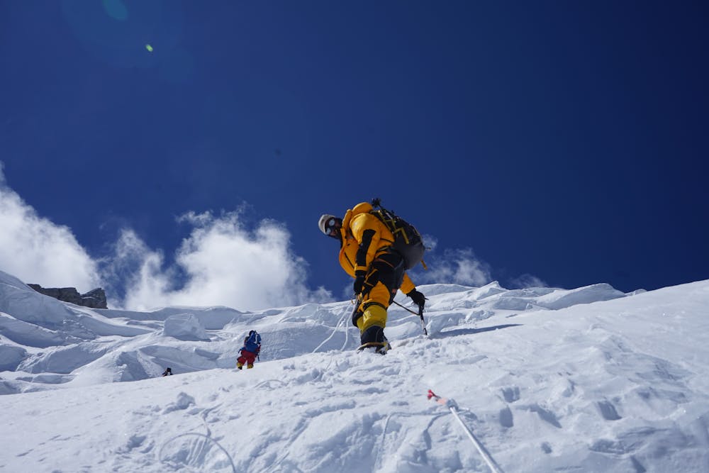
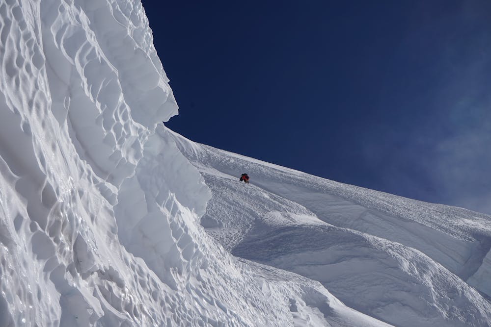
This is a popular alpine climbing route which is generally considered to be severe. It's extremely remote, it features high exposure and is typically done in undefined. From a low point of 6.4 km to the maximum altitude of 6.9 km, the route covers 656 m, 427 vertical metres of ascent and 0 vertical metres of descent. You'll need ice axe, crampons and glacier kit to complete it safely.
- •
- •
- •
- •
Description
A straight forward climb in very good conditions.
Difficulty
Severe
Steep, sustained and serious terrain on rock/ice. Routes will be long, exposed and possibly committing. D, D+
High Exposure

Much of the route is difficult to protect and a fall could be disastrous at certain points.
Remoteness

In the high mountains or remote conditions, all individuals must be completely autonomous in every situation.
Best time to visit
Equipment required
- Ice axe
- Crampons
- Glacier kit