5 km away
Annapurna Sanctuary Day 7 - Machhapuchchhre Base Camp to Annapurna Base Camp
A short day taking you to one of the finest mountain sanctuaries in the World
Moderate Hiking
- Distance
- 3 km
- Ascent
- 444 m
- Descent
- 2 m
A brilliant day which marks a shift in gear from low altitude strolling to high mountain trekking.
Hiking Difficult

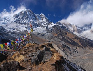
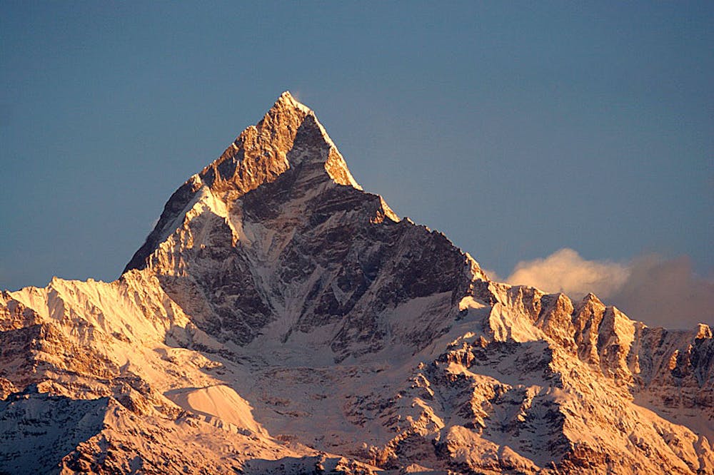
This is a fantastic day of trekking beneath the mythical Machhapuchchhre, the so called "Fish Tail" mountain.
Much of the terrain this day goes through is threatened by avalanches from above during the winter and even though this danger is negligible during the trekking season, you're likely to encounter so evidence of HUGE avalanches that will have come down in the previous winter. There may even be some sections of snow to traverse where the avalanche debris has not melted in time for trekking season. Regardless of whether you see any snow or not, it will have done some recent damage to the trail and as such the exact route on this day varies from year to year and might involve some cunningly created temporary bridges.
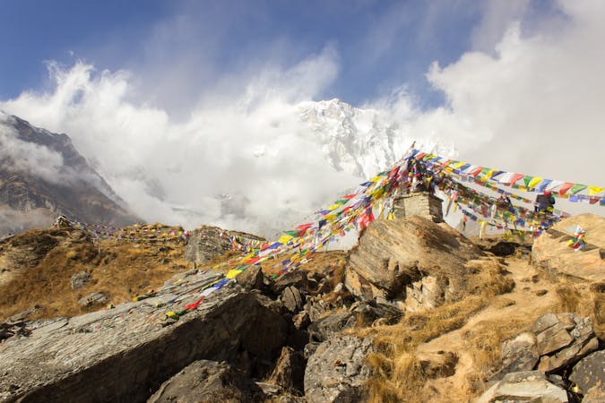
At the village of Deurali are a series of lodges (which are good places to grab lunch) and after these the valley narrows into a gorge. Go through the atmospheric gorge (picking your exact route depending on where the path goes the year you're here) and then climb up to the open pastures of Machhapuchchhre Base Camp, which is a collection of lodges on a flat platform hanging above the valley. You really are in the high mountains once you reach Machhapuchchhre Base Camp so enjoy the experience and respect the altitude. The views are fantastic and after spending so long getting here, it feels amazing to finally be in the "real" Himalayas amongst these giant peaks.
Difficult
Hiking trails where obstacles such as rocks or roots are prevalent. Some obstacles can require care to step over or around. At times, the trail can be worn and eroded. The grade of the trail is generally quite steep, and can often lead to strenuous hiking.

The path is on completely flat land and potential injury is limited to falling over.

Little chance of being seen or helped in case of an accident.
5 km away
A short day taking you to one of the finest mountain sanctuaries in the World
Moderate Hiking
8 routes · Hiking