5 m away
Annapurna Sanctuary Day 5 - Chhomrong to Himalaya
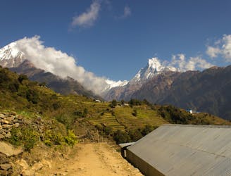
The day where you move from low altitude forests to beautiful high mountains
Moderate Hiking
- Distance
- 12 km
- Ascent
- 1.3 km
- Descent
- 684 m
A final day of trekking through peaceful forests leads to the road, and civilisation.
Hiking Moderate

After spending so long in the high mountains, it can be tempting to view this day as an inconvenience, but no matter how keen you for a shower and a beer, try to savour this final few hours in the Annapurna region wilderness.
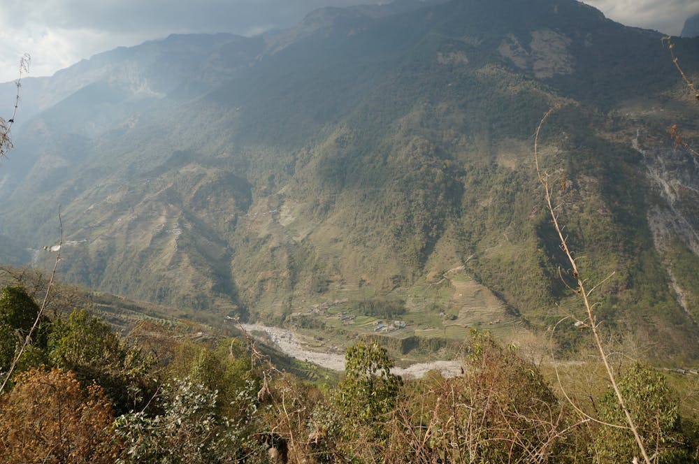
Begin the day by making a long descent down stone steps to Jhinu Danda (where there's some very tempting looking hot springs!) and then cross the Kimrong Khola river and follow it to where it meets the Modi Khola. Continue down the river valley, mainly hiking downhill all the way to the roadhead at Syauli Bhatti village.
Throughout the day you'll pass through some blissfully quiet villages and forests, so drink in every sight and smell - you'll be back in Pokhara with all the other tourists soon!
Upon reaching the roadhead, load up your pre-arranged transport and head back to Pokhara. Much as anyone doing this trek will be a mountain lover, it would take a true person of the hills not to appreciate the comforts of Pokhara, which include hot showers and a large selection of bars and restaurants. When you are cleaned up and have a cold beverage in your hand, make sure you toast your achievement in having completed one of the World's great mountain journeys.
Moderate
Hiking along trails with some uneven terrain and small hills. Small rocks and roots may be present.

The path is on completely flat land and potential injury is limited to falling over.

Away from help but easily accessed.
5 m away
The day where you move from low altitude forests to beautiful high mountains
Moderate Hiking
5.7 km away
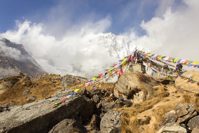
The beginning of the Annapurna Sanctuary hike proper and a chance to enjoy the bustling village of Chhomrong.
Moderate Hiking
8 routes · Hiking