4 m away
Annapurna Sanctuary Day 1 - Nayapul to Hile
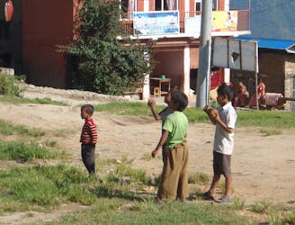
A straightforward start to a fabulous mountain journey
Moderate Hiking
- Distance
- 8.7 km
- Ascent
- 611 m
- Descent
- 149 m
Annapurna Conservation Area Trekking 2019
Hiking Moderate

This is a popular hiking route which is generally considered to be moderate. It's not remote, it features low exposure and is typically done between October and April. From a low point of 1 km to the maximum altitude of 2.2 km, the route covers 30 km, 2273 vertical metres of ascent and 2069 vertical metres of descent.
Annapurna Conservation Area Moderate Trekking 2019 (4 days, 3 nights)
Moderate
Hiking along trails with some uneven terrain and small hills. Small rocks and roots may be present.

The path is on completely flat land and potential injury is limited to falling over.
Close to help in case of emergency.
4 m away
A straightforward start to a fabulous mountain journey
Moderate Hiking
5.7 km away
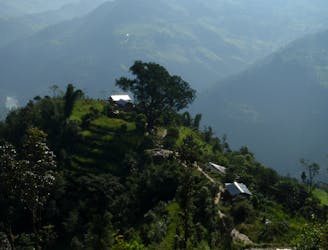
A tougher day but with the reward of increasingly impressive high mountain views.
Moderate Hiking

8 routes · Hiking