Annapurna Circuit Bikepacking
Bikepacking trip around Annapurnas
Mountain Biking Severe
- Distance
- 393 km
- Ascent
- 11 km
- Descent
- 11 km
- Duration
- 1 day +
- Low Point
- 434 m
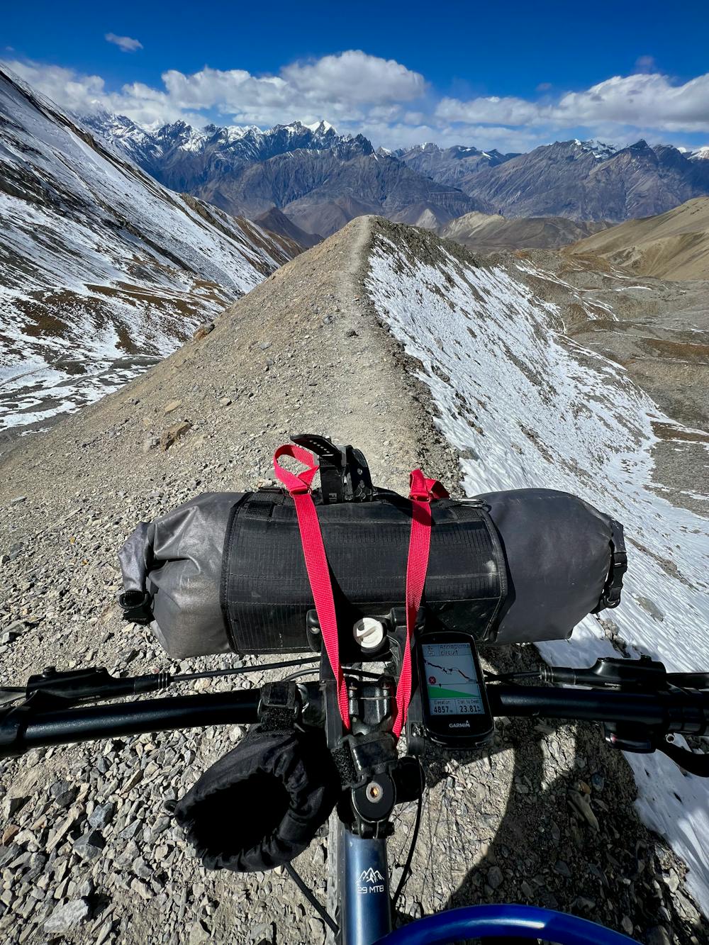
- High Point
- 5.4 km
- Gradient
- 17˚

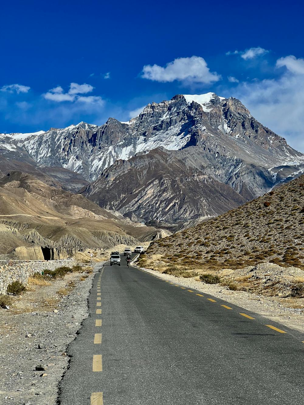
This is a popular mountain biking route which is generally considered to be severe. It's very remote, it features medium exposure and is typically done in April, May, October and November. From a low point of 434 m to the maximum altitude of 5.4 km, the route covers 393 km, 11024 vertical metres of ascent and 11024 vertical metres of descent.


- •
- •
- •
- •
- •
- •
- •
- •
- •
- •
- •
- •
- •
- •
- •
- •
- •
Description
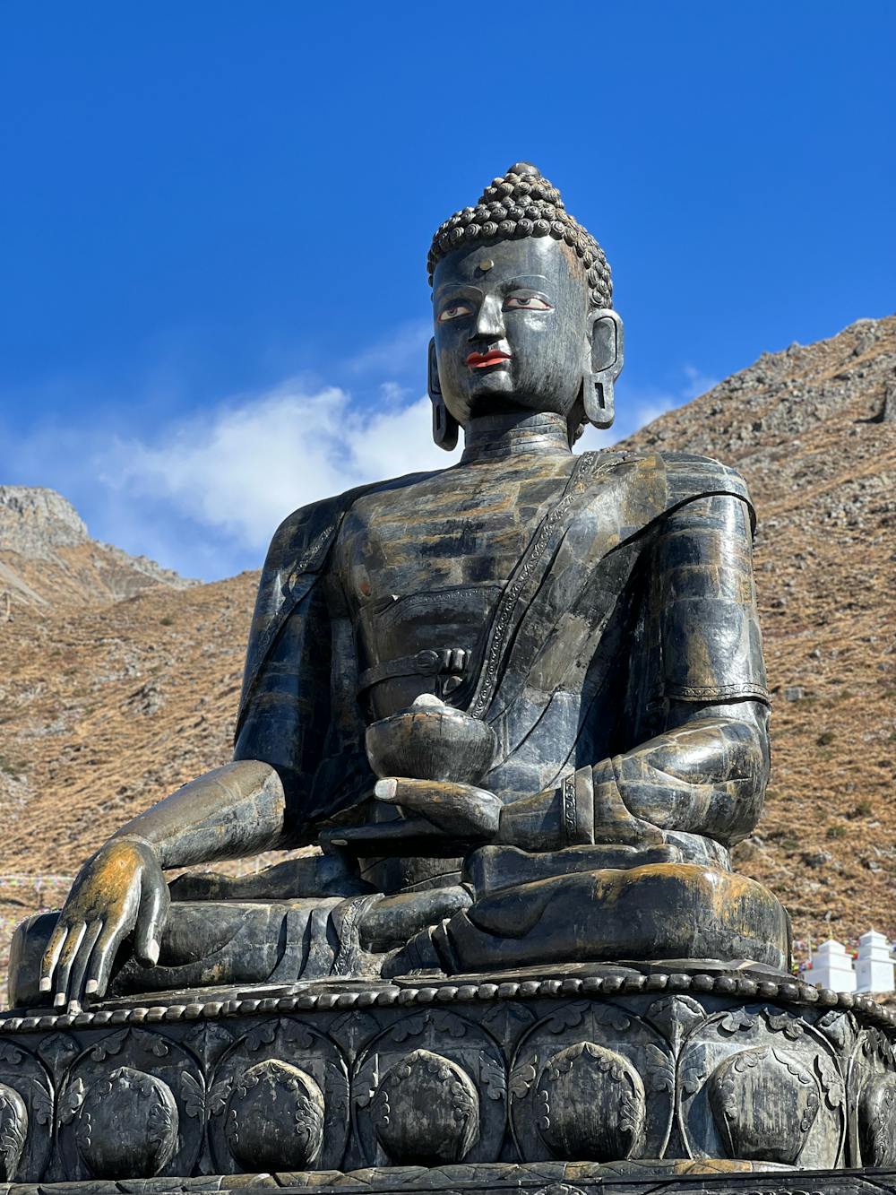
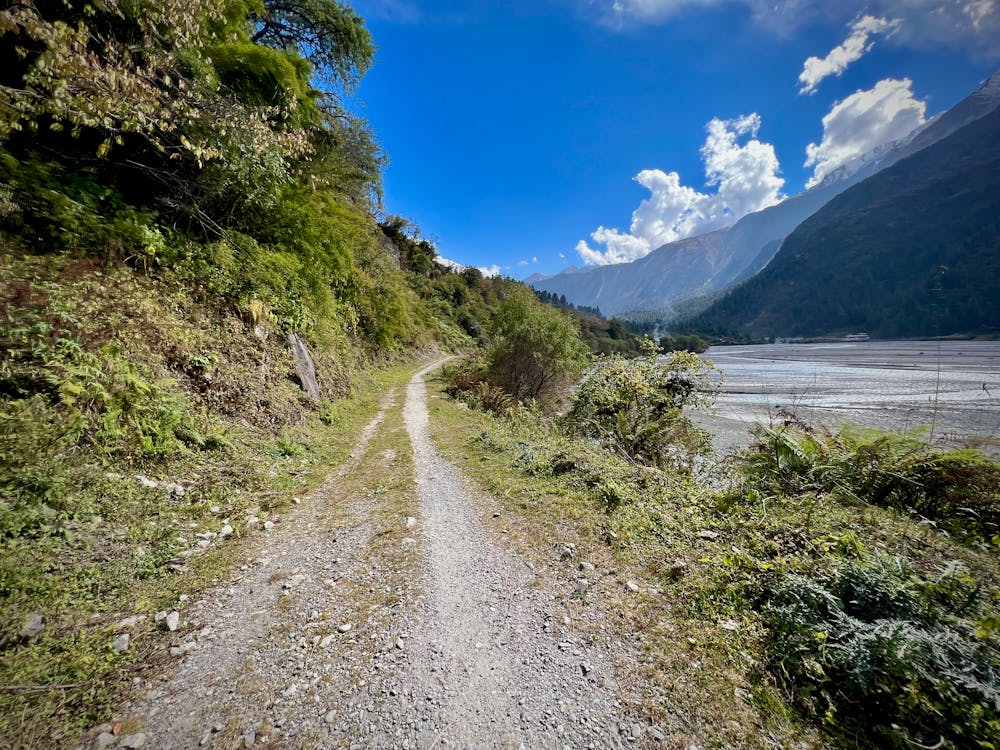
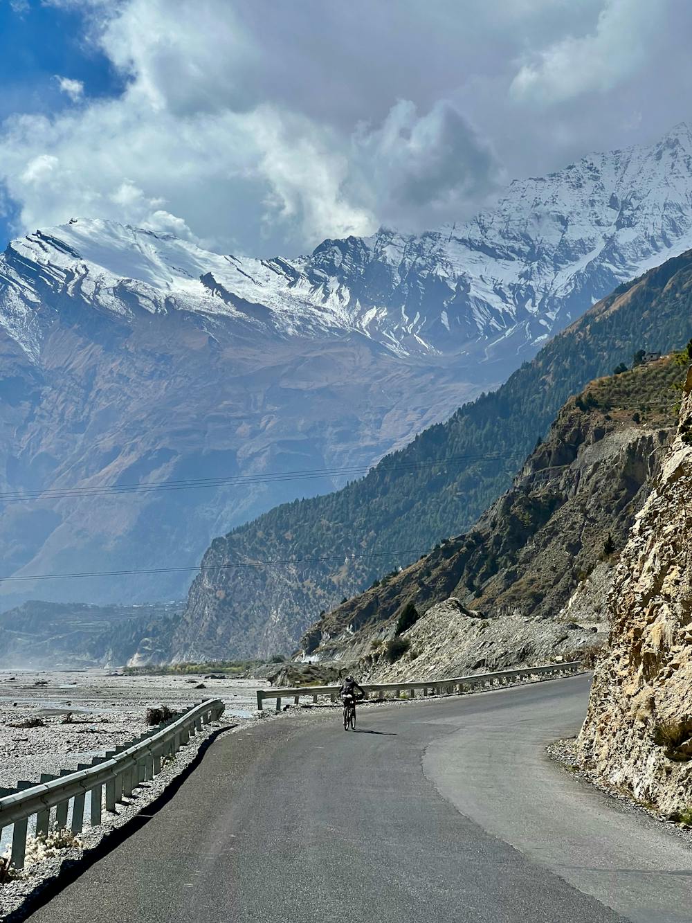
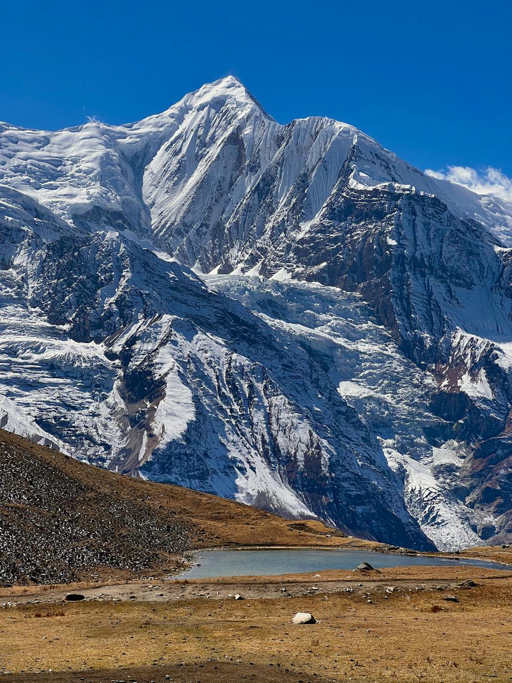
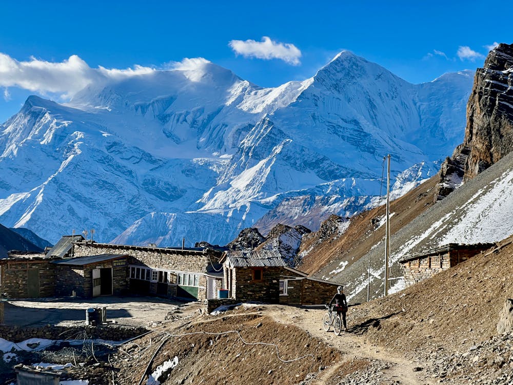
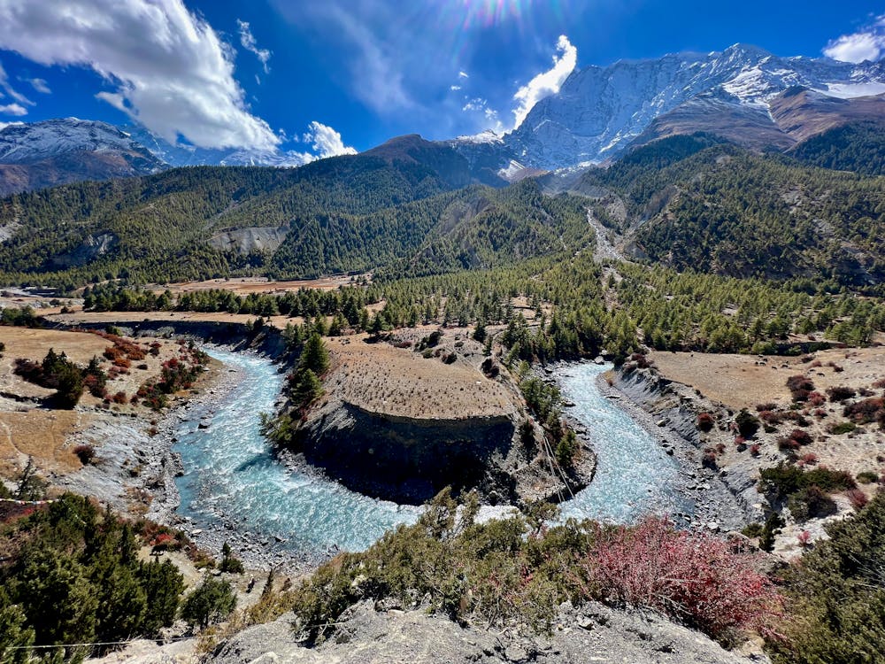
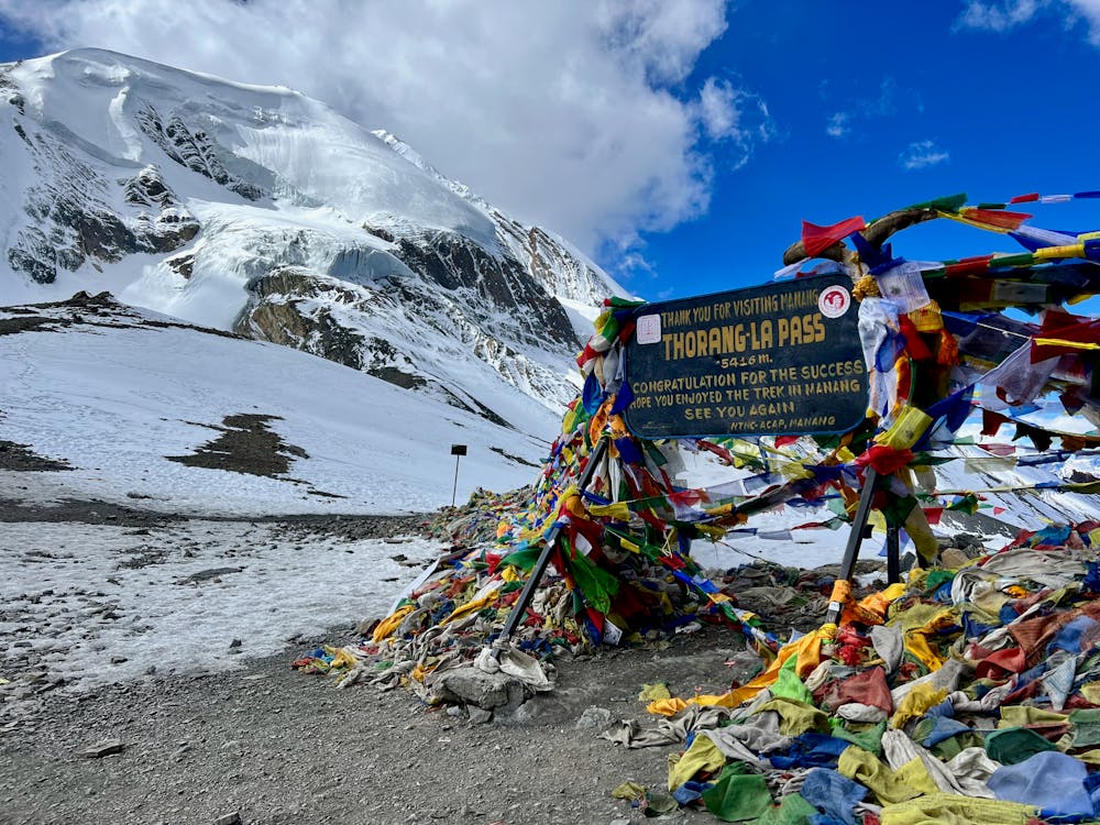
A full loop around the Annapurna peaks II, III and IV with the highest point at 5416m on the Thorong La pass.
Difficulty
Severe
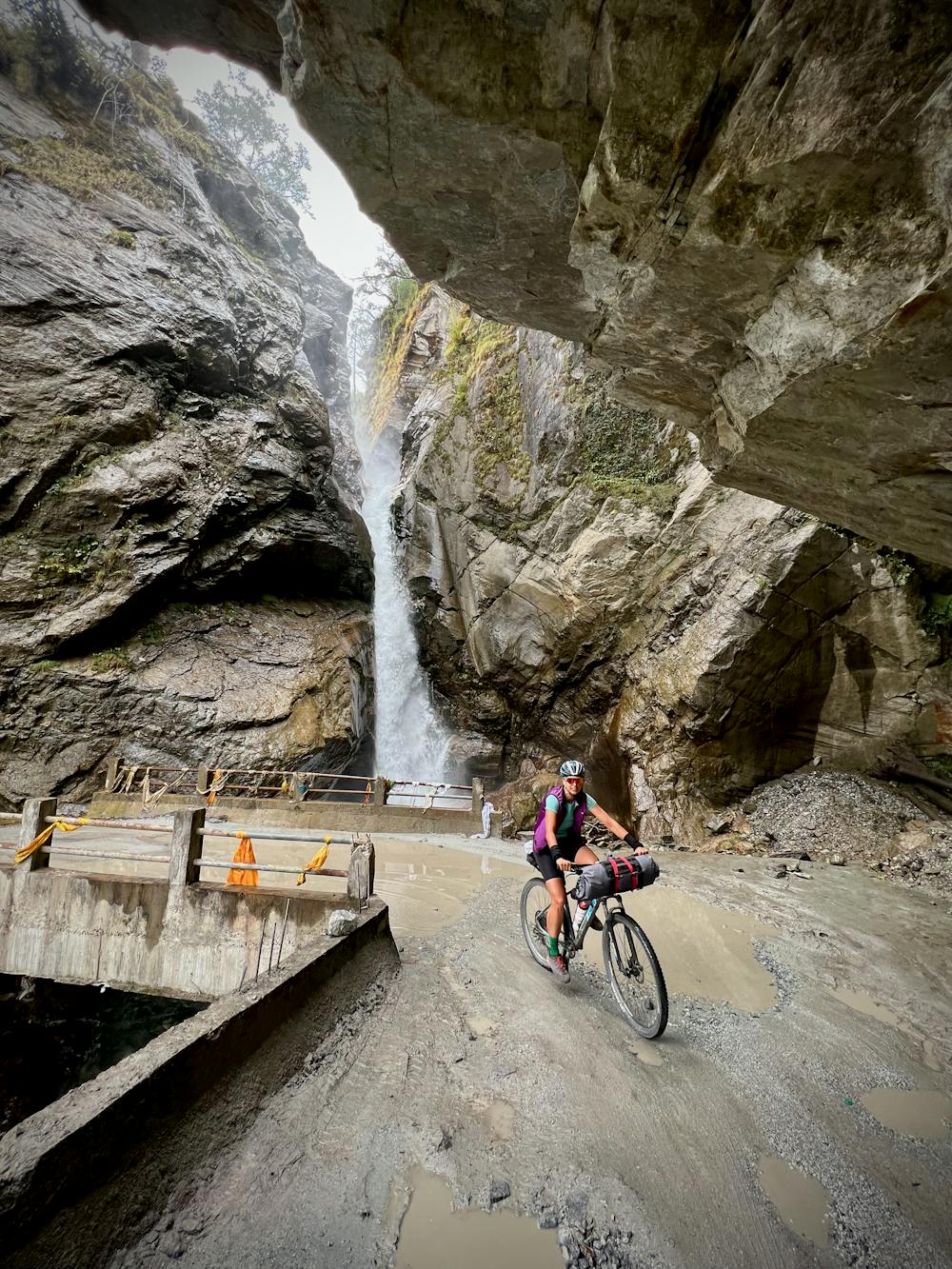
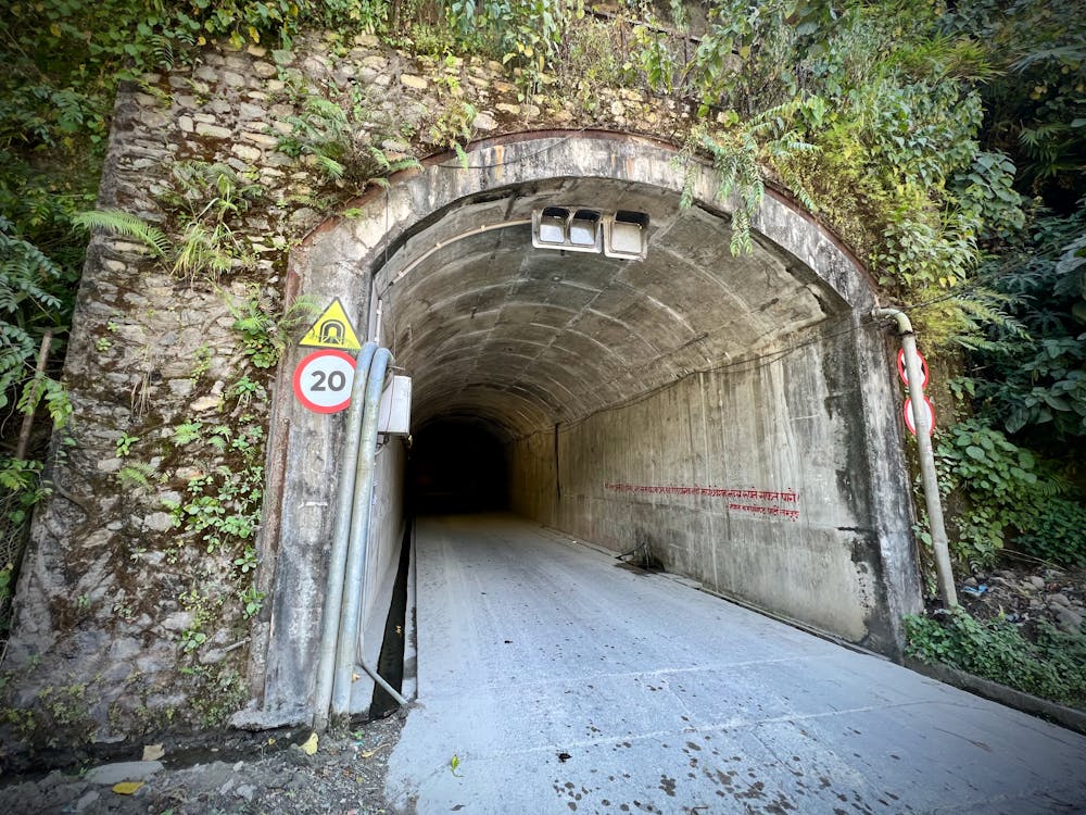
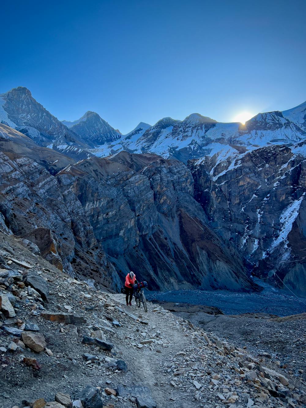
Widely variable, narrow trail tread with steeper grades and unavoidable obstacles of 15in/38cm tall or less. Obstacles may include unavoidable bridges 24in/61cm wide or less, large rocks, gravel, difficult root sections, and more. Ideal for advanced-level riders.
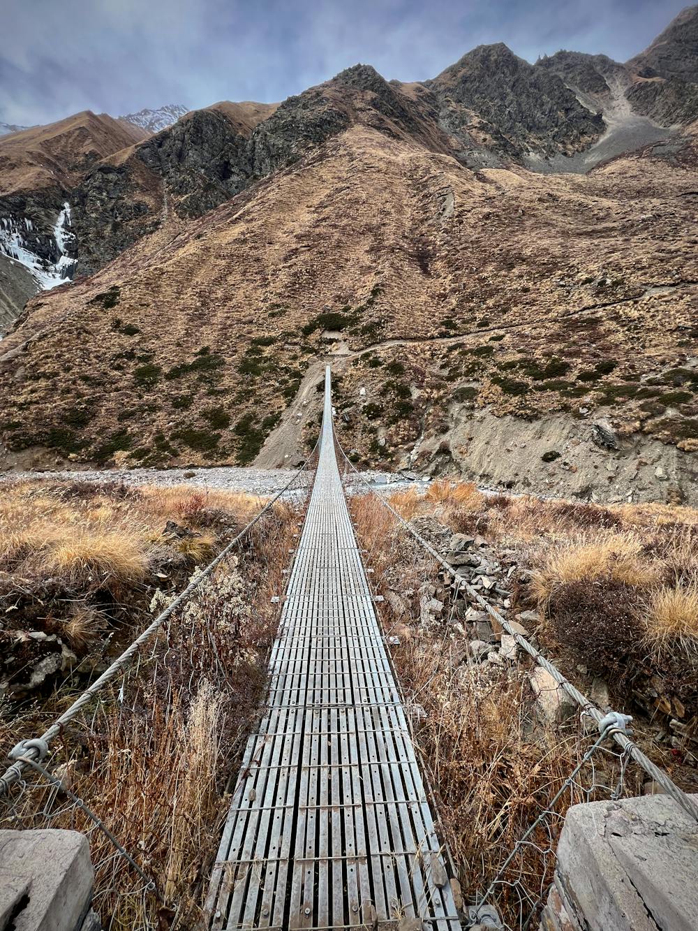
Medium Exposure

The trail contains some obstacles such as outcroppings and rock which could cause injury.
Remoteness

Little chance of being seen or helped in case of an accident.
Best time to visit
Features
- Technical
- Hike a bike
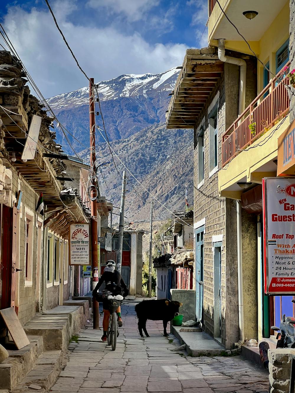
- Picturesque
- Road sections