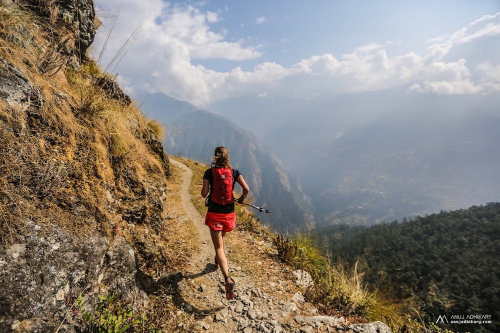
Manaslu Trail Race - Stage 1
Short and steep! Starting briefly along the Budi Gandaki River, before a huge climb to high hillside villages. Then a long drop again to the river! Tough first day!
Trail Running Difficult
- Distance
- 22 km
- Ascent
- 2.4 km
- Descent
- 2.1 km
- Duration
- 5-6 hrs
- Low Point
- 608 m
- High Point
- 1.9 km
- Gradient
- 22˚

This is a popular trail running route which is generally considered to be difficult. It's remote, it features high exposure and is typically done in February, March, April, November and December. From a low point of 608 m to the maximum altitude of 1.9 km, the route covers 22 km, 2406 vertical metres of ascent and 2069 vertical metres of descent.
Description
This route is only 23 km but steepness, heat and the newness of the landscape make it tougher than it looks!
Difficulty
Difficult
High Exposure

Some trail sections have exposed ledges or steep ascents/descents where falling could cause serious injury.
Remoteness

Away from help but easily accessed.