Manaslu Trail Race - Stage 2
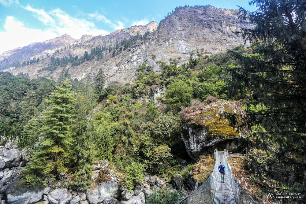
Along the river, you'd imagine it was flat... it is, but Nepali flat. Plenty of ups and downs all day long!
Trail Running Difficult
- Distance
- 29 km
- Ascent
- 3.2 km
- Descent
- 2.3 km
- Duration
- 1 day +
- Low Point
- 938 m
- High Point
- 2.2 km
- Gradient
- 32˚

This is a popular trail running route which is generally considered to be difficult. It's remote, it features low exposure and is typically done in February, March, April, May, October, November and December. From a low point of 938 m to the maximum altitude of 2.2 km, the route covers 29 km, 3210 vertical metres of ascent and 2291 vertical metres of descent.
Description
Passing through small trading villages along the riverside . Watch out for mules carrying loads, and the heat of the day. Beautiful trails through a major gorge bring you to the stage finish.
Difficulty
Difficult
Low Exposure

The path is on completely flat land and potential injury is limited to falling over.
Remoteness

Away from help but easily accessed.