6.6 km away
Everest South Col Route
The original route up Everest established by Edmond Hillary and Tenzing Norgay in 1953
Extreme Alpine Climbing
- Distance
- 13 km
- Ascent
- 3.4 km
- Descent
- 30 m
Introductory 6000m peak
Alpine Climbing Moderate

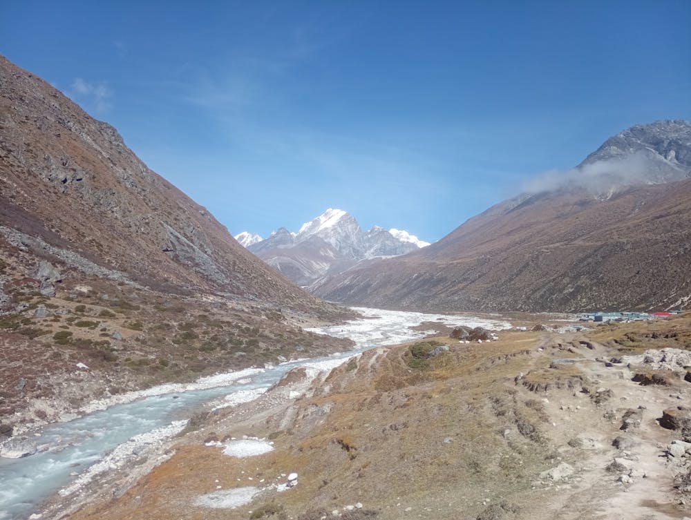
From the village of Lobuche, follow the path past base camp to the high camp on a rocky balcony with some small ponds.
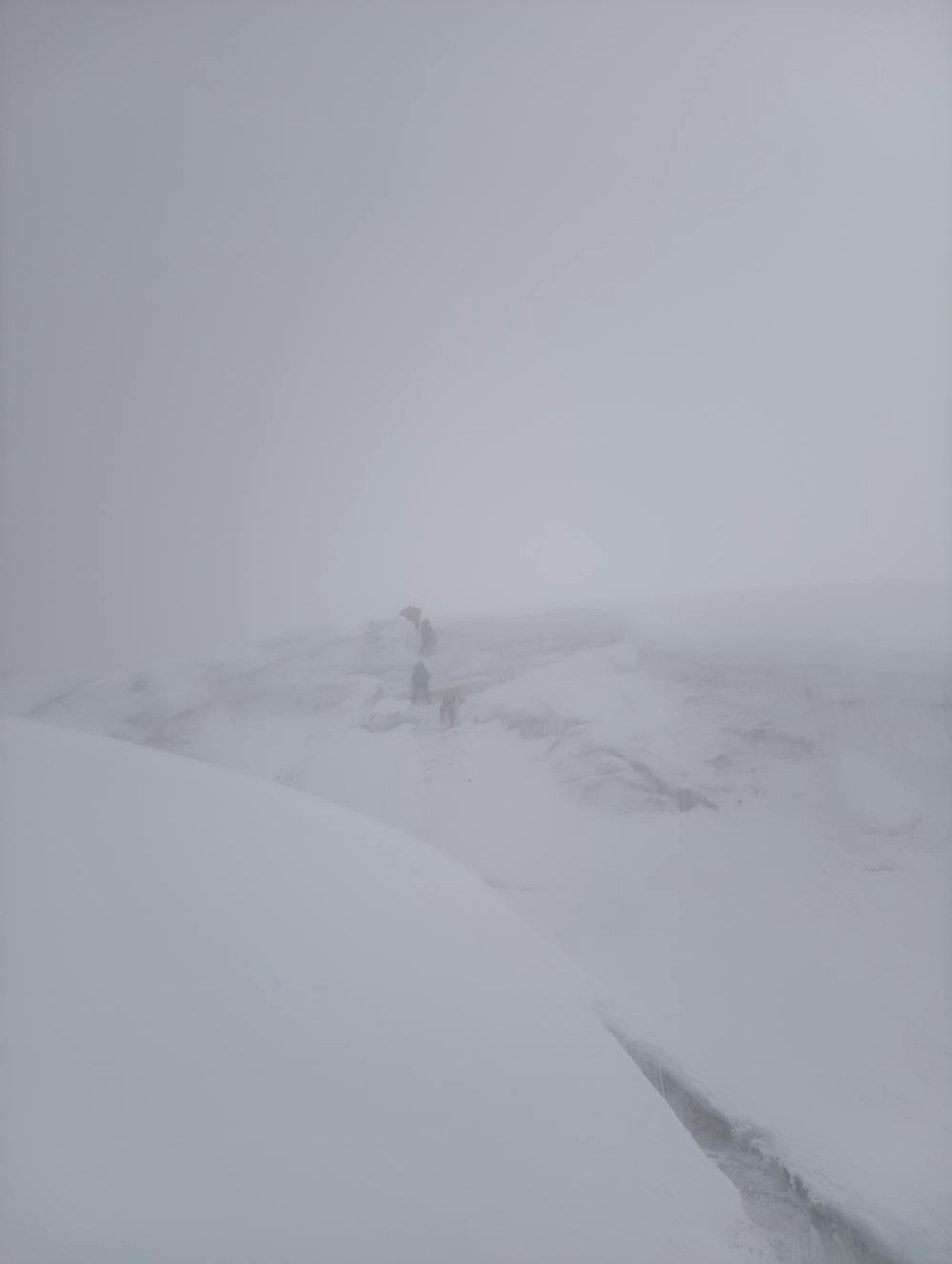
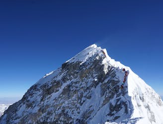
From here, go up low angled slabs with occasional fixed ropes. Do not go onto the ridge at this point, rather stay to stay to the climbers right of the steep wall. The terrain gradually steepens, without being ever difficult, until you reach a subsidiary ridge which leads to the crampon point.
Snap your spikes on and go up the snow slopes (40-50 degrees) til you get to a flattish spot next to a large crevasse. Go up past the crevasse and up a steep snow/ice wall (fixed rope in the main climbing season) to the false summit. Most parties stop here.
If you are hungry for a little more adventure, follow the ridge across several more false summits to reach the true summit. Beware of large cornices.
Moderate
May involve slightly more complex glacier hikes, easy but possibly long rock ridges and steep snow up to 45 degrees. Equivalent to PD, PD+

The route features some exposed and/or difficult to protect sections.
Away from help but easily accessed.
6.6 km away
The original route up Everest established by Edmond Hillary and Tenzing Norgay in 1953
Extreme Alpine Climbing

18 routes · Alpine Climbing · Hiking