5.5 km away
Mera and Island Peak Day 14 - Island Peak
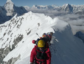
The last big day of the trip, and it's a good one!
Difficult Alpine Climbing
- Distance
- 11 km
- Ascent
- 691 m
- Descent
- 1.4 km

A big and beautiful day across a legendary col.
Alpine Climbing Difficult

A fabulous day from start to finish, this is what adventuring in the Himalayas is all about! Begin the day before daybreak and make the gentle climb up to the foot of the glacier below the Amphu Labsta.
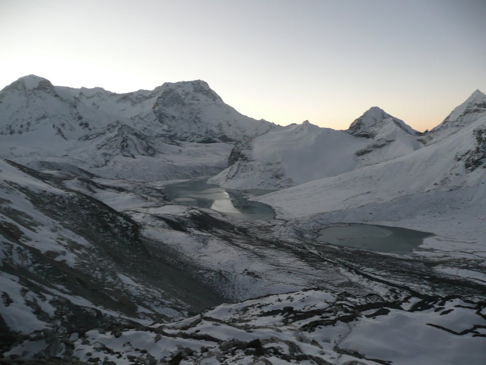
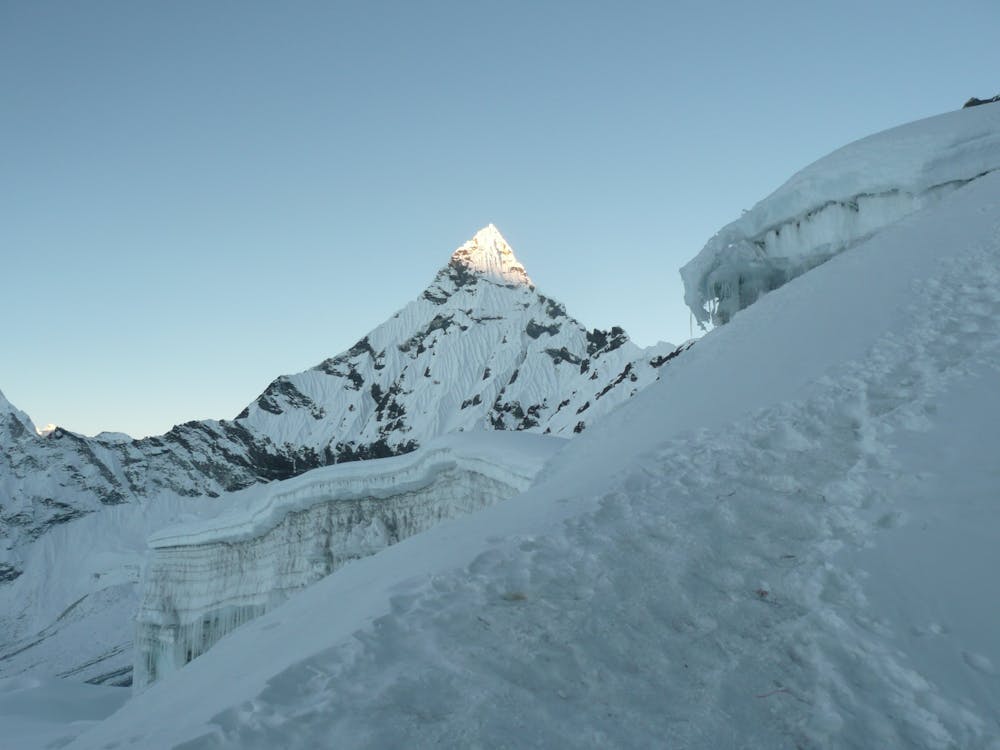
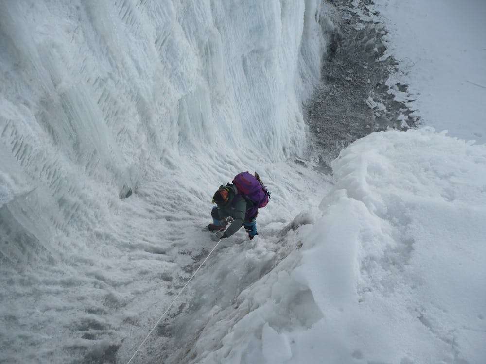
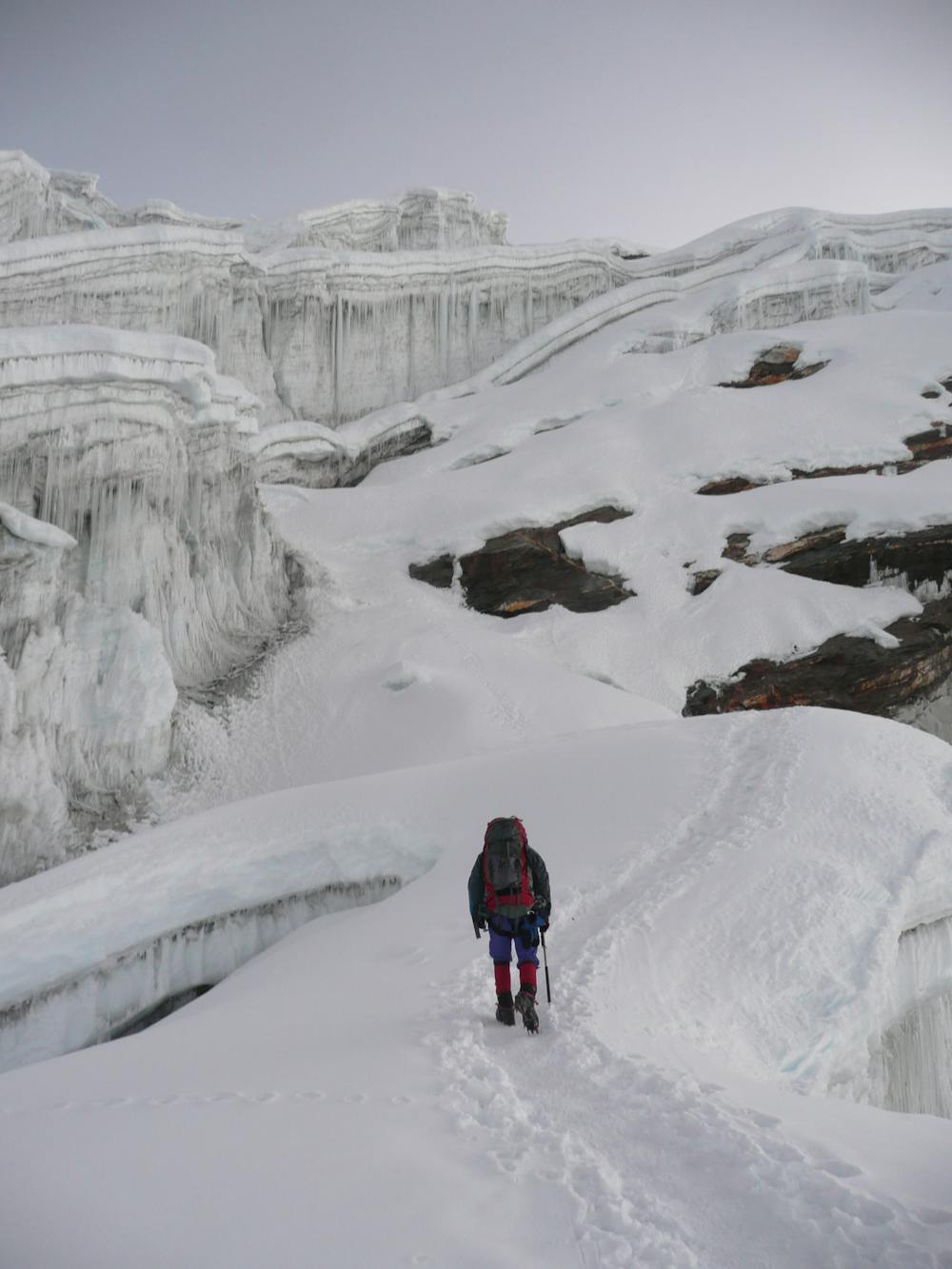
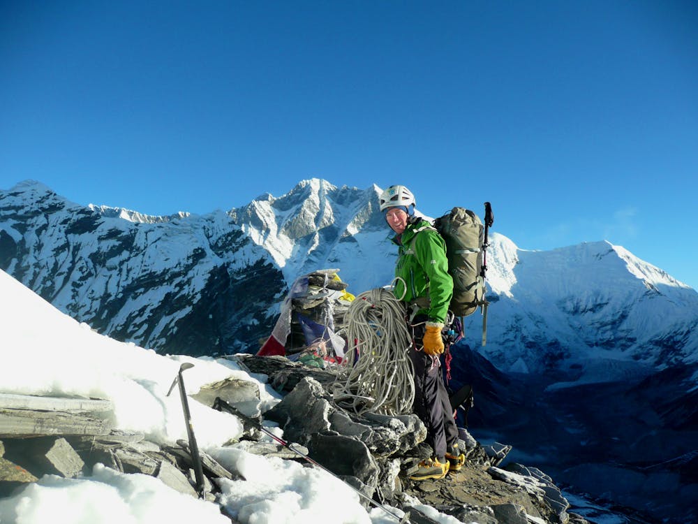
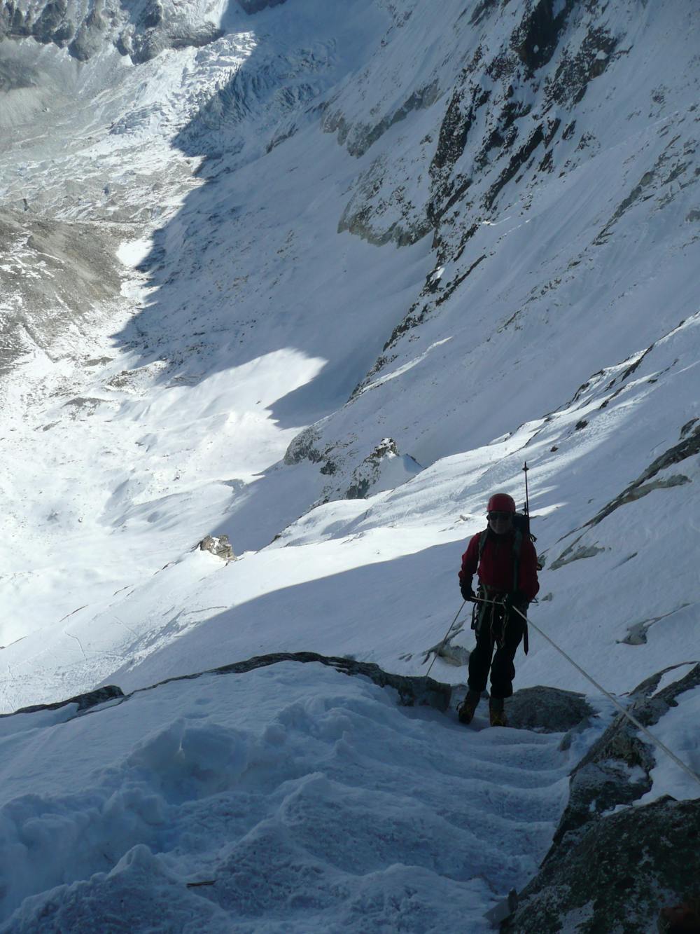
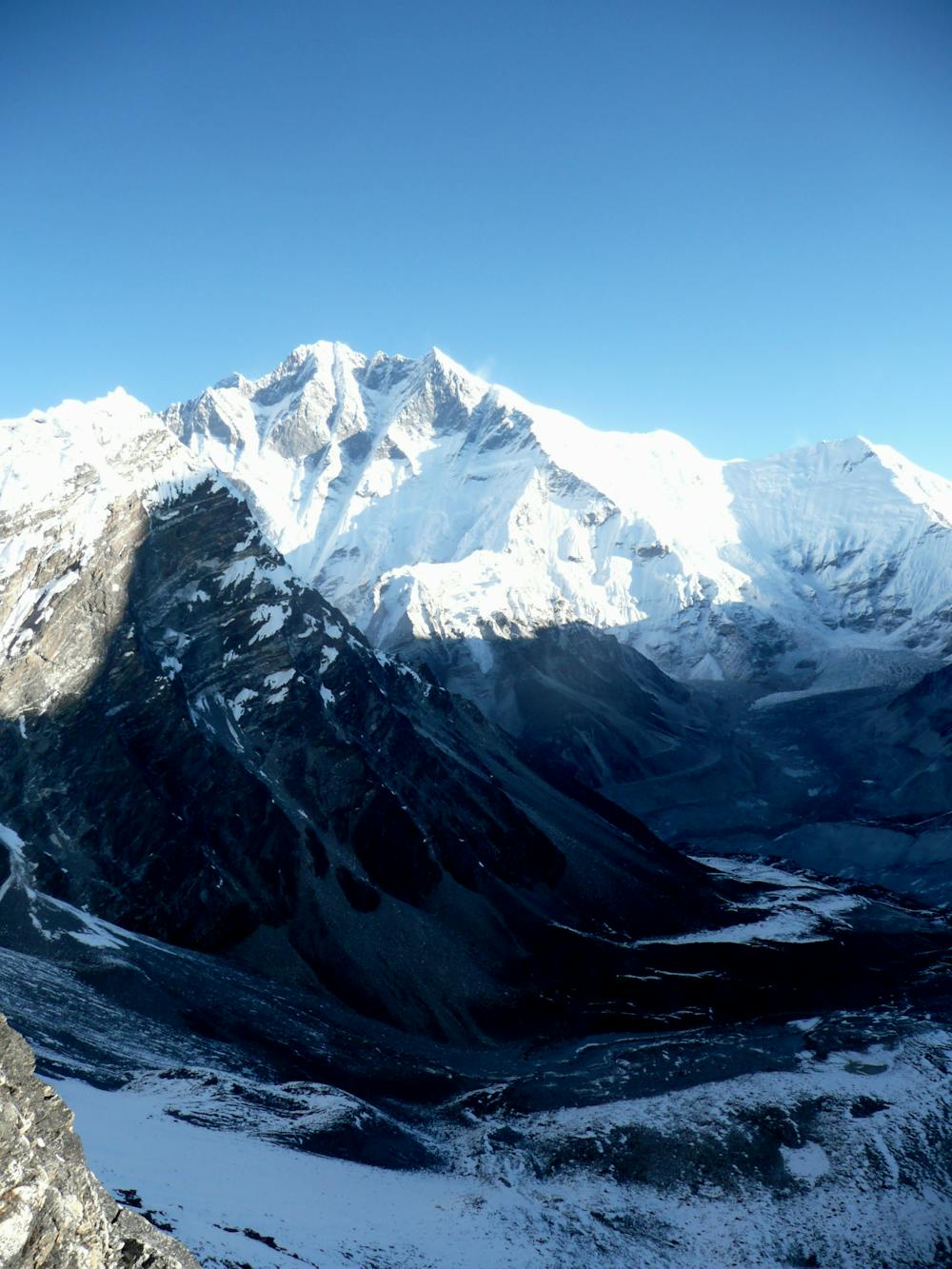
Generally there is a track through the glacier but if not, it's not advised to try and find a way through it at night, so wait for daybreak before attempting to get through it. Some sections of it are quite steep and will likely require some front pointing in crampons so take care and use a rope if required. If you have porters with you fixed ropes will be vital on the steeper sections so that the porters can negotiate them safely while carrying their loads. The exact route will vary year to year but you should end up traversing into the Amphu Labsta and upon arriving, you are treated to quite the view. Everest and the south face of Lhotse dominate the scene to the north, and to the south is the Hongku valley which you've just passed through and Chamlang which has watched your passage.
To get off the col make a 20 metre abseil to the north and then follow an exposed path down and left. Eventually the path becomes less exposed and then crosses a series of moraines as it descends to the left hand side of the Amphu Labsta Glacier. Once you're directly overlooking the glacier the path becomes much easier and well defined. Follow it easily as it swings around to the west and then pick one of the many excellent camping spots overlooking the Imja Tsho lake.
The lake is stunning, with icebergs floating in it and the south face of Lhotse dominating the view above it.
Difficult
The beginning of truly technical terrain which might involve pitched climbing on rock and/or ice, exposed terrain and complex route finding in ascent and descent. Equivalent to AD, AD+
5.5 km away

The last big day of the trip, and it's a good one!
Difficult Alpine Climbing
15 routes · Alpine Climbing · Hiking