3.1 km away
Mera and Island Peak Day 7 - Mera La to Mera Peak high camp
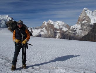
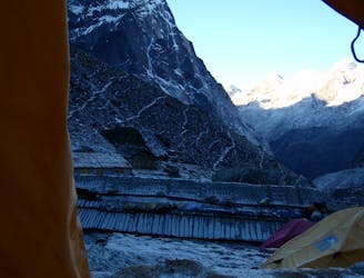
The ascent of Mera Peak really starts here with a relatively easy but staggeringly scenic day.
Easy Alpine Climbing
- Distance
- 3.4 km
- Ascent
- 498 m
- Descent
- 56 m
The big day! A tough but incredibly rewarding adventure to a peak in the heart of the Himalayas.
Alpine Climbing Easy

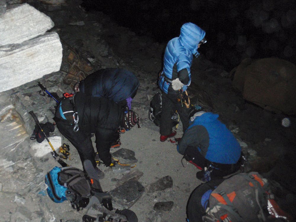
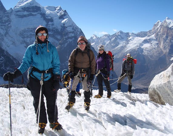
Wake up at 2.00 am (this never gets any more pleasant no matter how many times you do it!) and start getting fluids and food into you. Once hydrated and with a few calories inside your belly get out of the tent, don crampons, rope up and get ready to begin your summit bid.
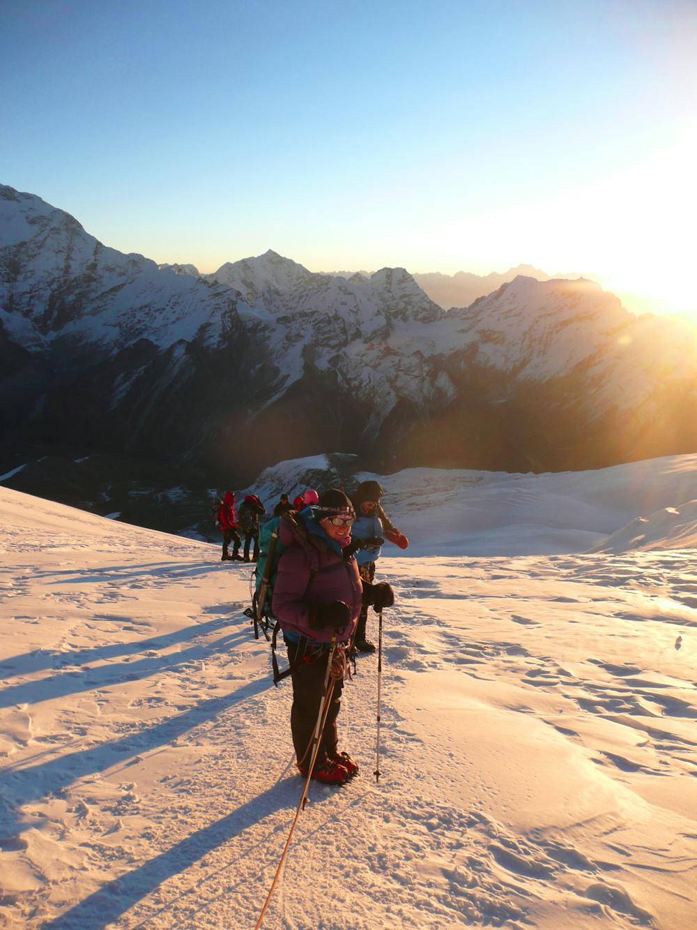
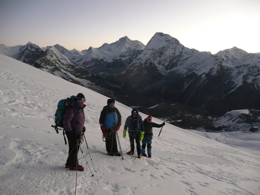
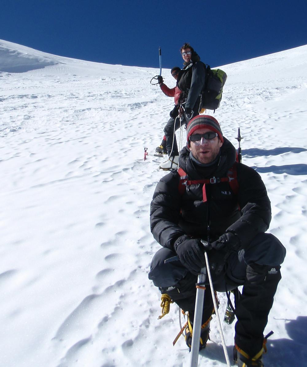
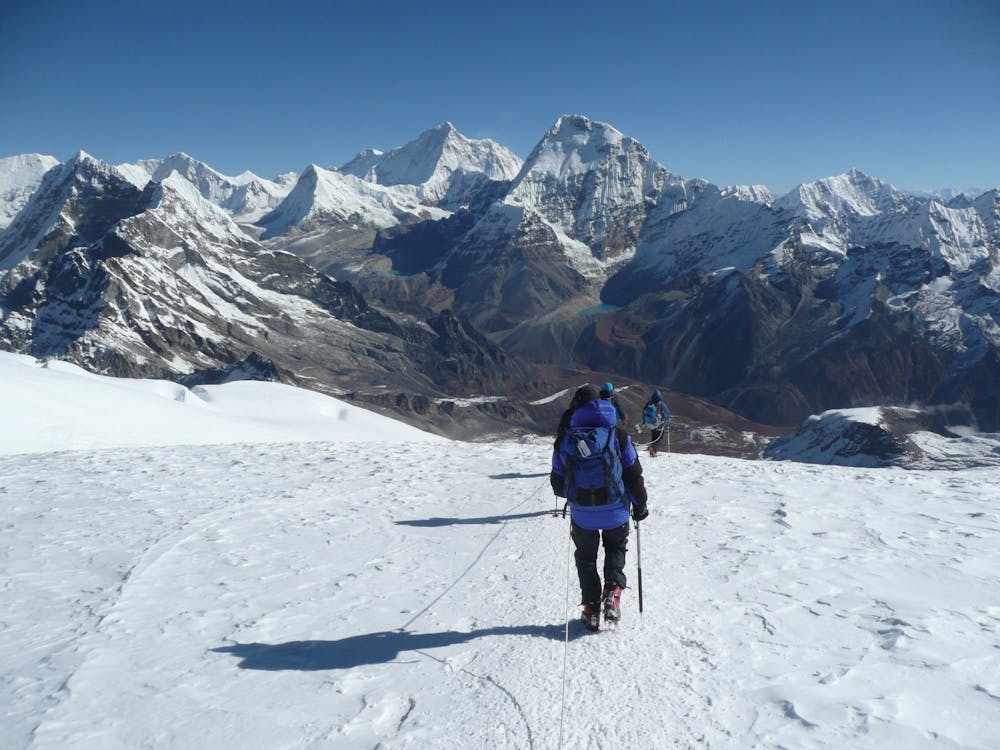
Continue hiking south up the Mera Glacier as you were yesterday and try to enjoy the sensation of moving through the darkness with only the sound of your feet crunching in the snow for company. If you are struggling to maintain morale whilst grinding upwards, the first sign of dawn arriving to the east should stir your spirits, and as the light levels increase, the view only improves. The colour of the light changes as the sun creeps higher and gradually more and more peaks reveal themselves. Although taking photos is hard to resist, the frigid cold will likely be the limiting factor in how many times you get the camera out!
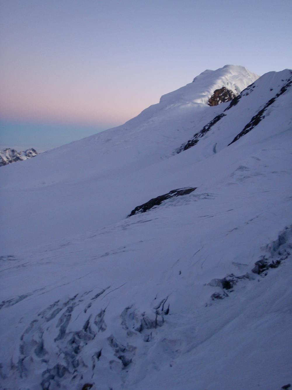
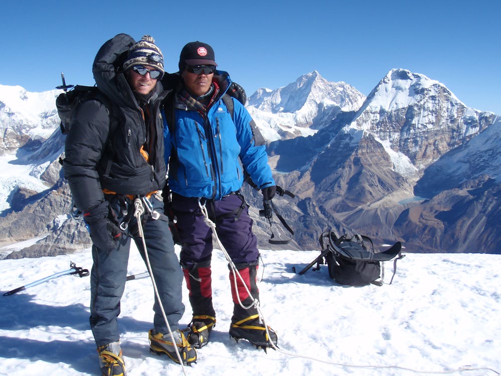
After around 4 hours of effort you will reach Mera Peak’s south summit, the slightly lower of the 2 tops. Turn around and look across one of the finest mountain panoramas anywhere in the Himalayas, or in any range for that matter. Everest, complete with its distinctive plume, is clearly visible looks deceptively close. From the south summit walk across to the foot of the main summit tower.
The summit tower can feature 45 - 50 degree snow so decide whether you want to tackle this. If you go for it, the steep section is only about 30 - 40 metres but at this altitude, you’ll feel every centimetre of it! The view from the main summit is essentially the same as from the south summit, so the main benefit of going to it is to claim the true Mera peak summit “tick”!
From whichever summit you finish your ascent on, descend back to high camp and then on down to the Mera La. Try to rehydrate and then snuggle up in your sleeping bag and savour the fact that you’ve already reached the highest point of the expedition!
Easy
The ascent involves simple glacier hiking and/or short, straightforward rock scrambles. Equivalent to Alpine F, F+

The route features some exposed and/or difficult to protect sections.

Little chance of being seen or helped in case of an accident.
3.1 km away
The ascent of Mera Peak really starts here with a relatively easy but staggeringly scenic day.
Easy Alpine Climbing
3.4 km away
The ascent of Mera Peak begins with a 4 hour climb to the stunning Mera La Col.
Easy Alpine Climbing
15 routes · Alpine Climbing · Hiking