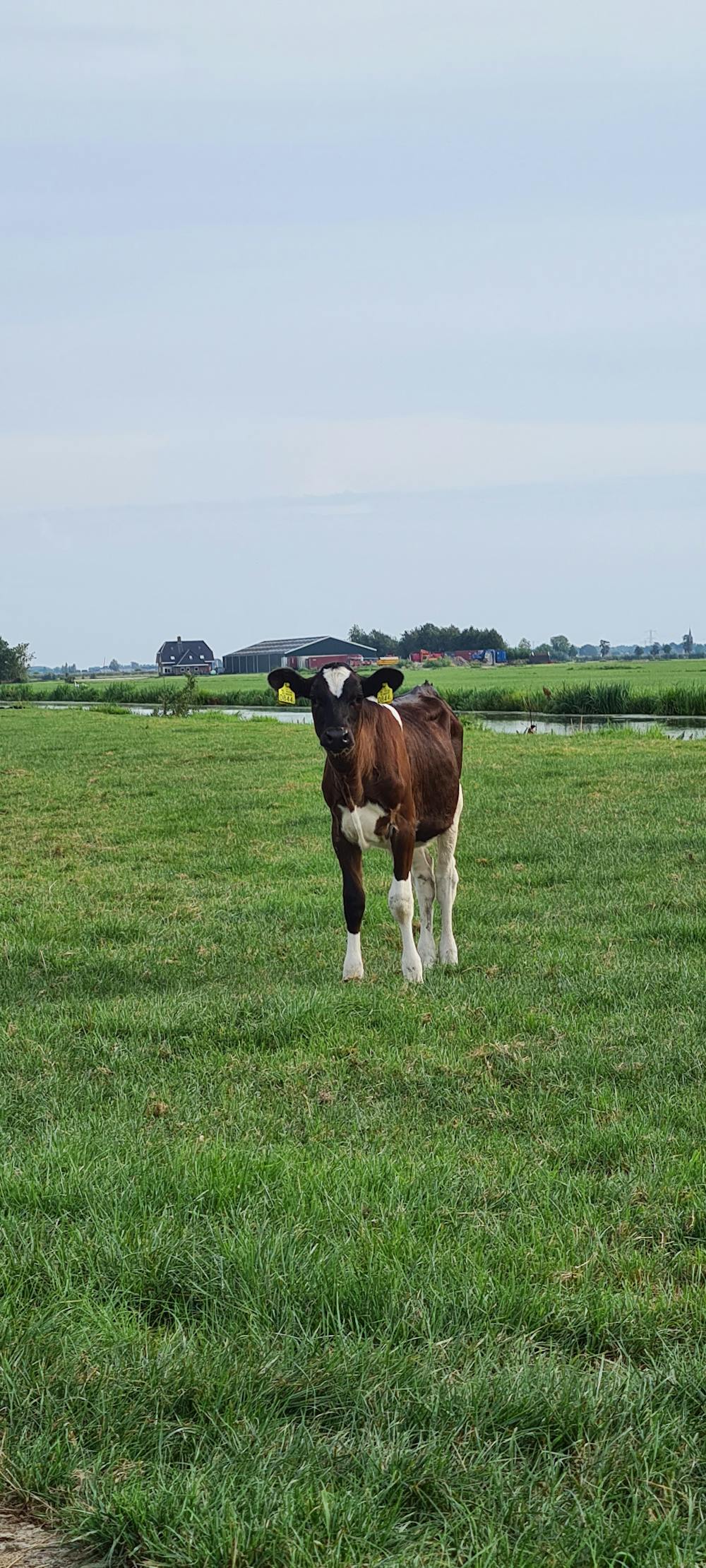
Zijdebrug en Donkse Laagten
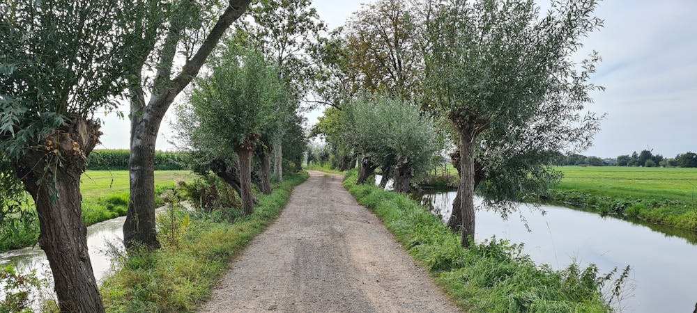
Boezemdijk en Tiendweg
Hiking Easy
- Distance
- 9.8 km
- Ascent
- 32 m
- Descent
- 34 m
- Duration
- 2-3 hrs
- Low Point
- -4 m
- High Point
- 0 m
- Gradient
- 0˚

This is a popular hiking route which is generally considered to be easy. It's remote, it features low exposure and is typically done between March and September. From a low point of -4 m to the maximum altitude of 0 m, the route covers 9.8 km, 32 vertical metres of ascent and 34 vertical metres of descent.
- •
- •
- •
- •
- •
- •
- •
- •
Description
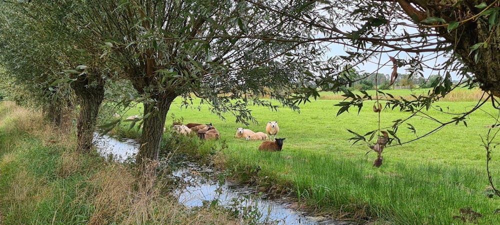
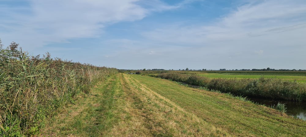
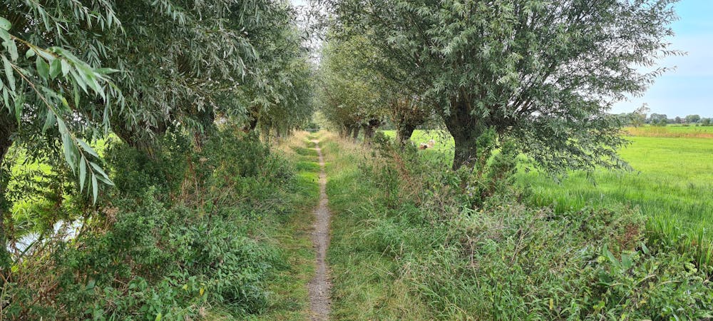
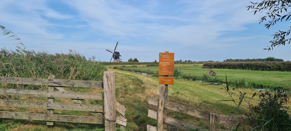
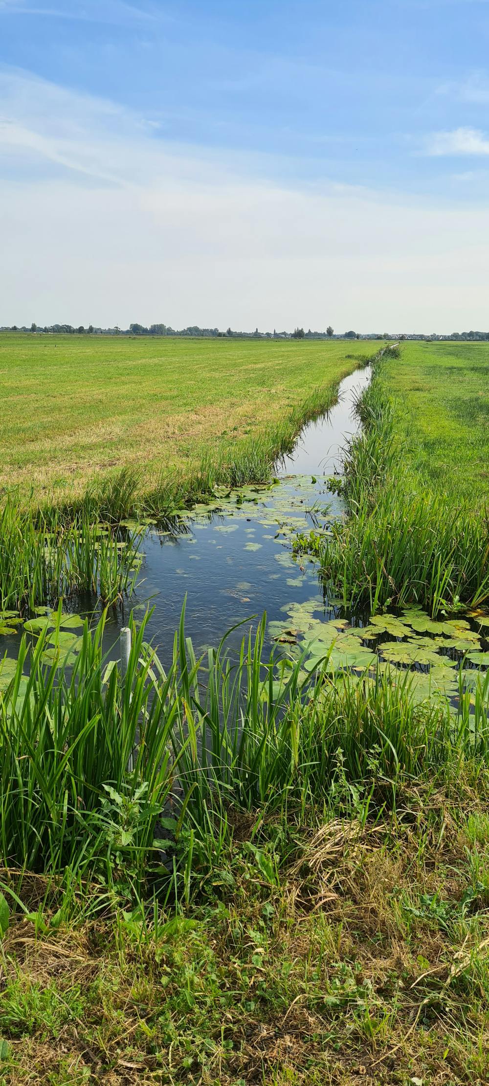
Nice walk in a classic 'polder'
Difficulty
Easy
Walking along a well-kept trail that’s mostly flat. No obstacles are present.
Low Exposure

The path is on completely flat land and potential injury is limited to falling over.
Remoteness

Away from help but easily accessed.
Best time to visit
Features
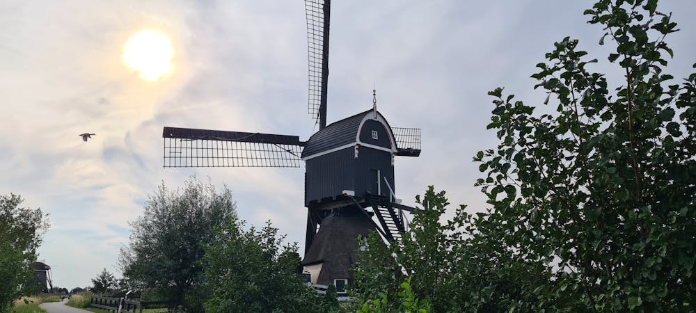
- Picturesque
- Wild flowers
- Water features