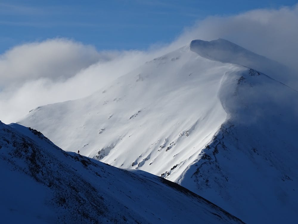
Castle Hill Peak
Easily accessible day trip from Christchurch with amazing views of the Canterbury Plains & Castle Hill basin.
Alpine Climbing Easy
- Distance
- 11 km
- Ascent
- 1.2 km
- Descent
- 1.2 km
- Low Point
- 939 m
- High Point
- 2 km
- Gradient
- 21˚

This is a popular alpine climbing route which is generally considered to be easy. It's not remote, it features low exposure and is typically done all year round. From a low point of 939 m to the maximum altitude of 2 km, the route covers 11 km, 1230 vertical metres of ascent and 1231 vertical metres of descent. You'll need ice axe and crampons to complete it safely.
Description
Park at Porter's Pass. 5-7 hours.
Difficulty
Easy
The ascent involves simple glacier hiking and/or short, straightforward rock scrambles. Equivalent to Alpine F, F+
Low Exposure

The route is well protected or easy enough that protection is not required.
Remoteness
Close to help in case of emergency.
Best time to visit
Equipment required
- Ice axe
- Crampons