Hamilton Peak
A varied climb from beech forest, along classic Craigieburn Ridgelines and round trip descent via Craigieburn skifield
Alpine Climbing Easy
- Distance
- 15 km
- Ascent
- 1.4 km
- Descent
- 1.4 km
- Low Point
- 801 m
- High Point
- 1.9 km
- Gradient
- 21˚

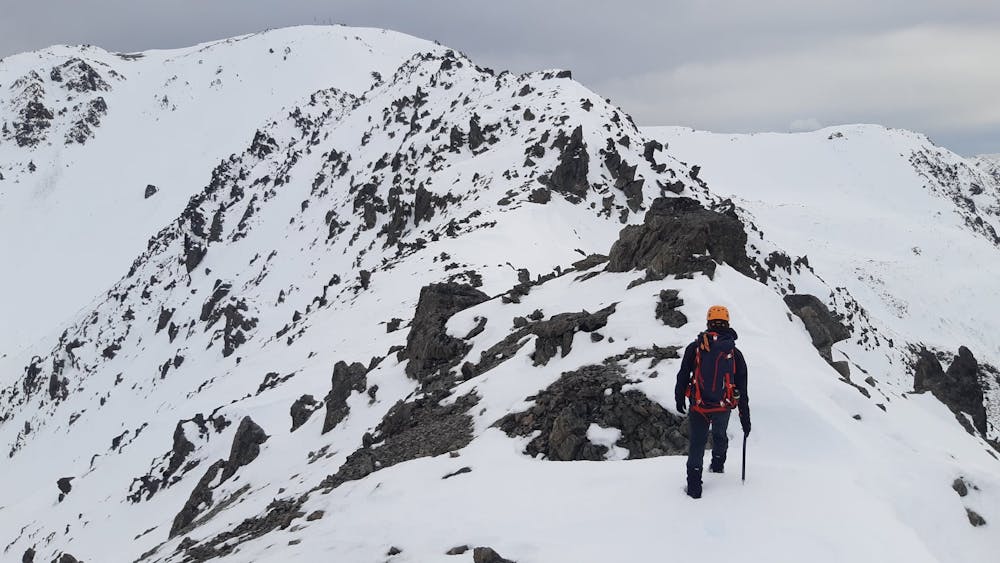
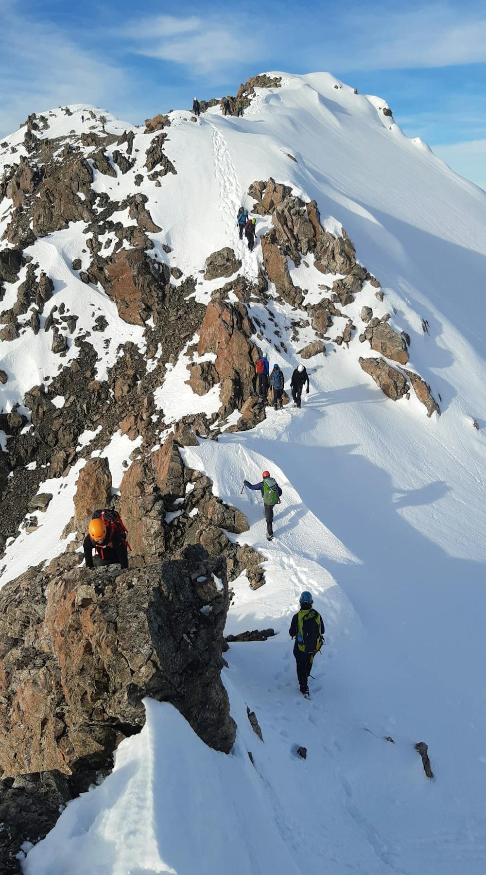
Many options for Hamilton Peak. In this route, park at the base of Broken River road. Climb up towards Helicopter Peak then gain the ridge. Alternatively, drive/walk the road towards Broken River skifield and start up Camp Saddle track. Scramble up the East ridge, route-finding skills required. Once on top follow the open ridgeline to Mt Hamilton. Descend either via Craigieburn Skifield (marked on this route) or via Broken River as per your preference.
Difficulty
Easy
The ascent involves simple glacier hiking and/or short, straightforward rock scrambles. Equivalent to Alpine F, F+
Low Exposure

The route is well protected or easy enough that protection is not required.
Remoteness
Close to help in case of emergency.
Best time to visit
Equipment required
- Ice axe
- Crampons