Manakau
A long climb from sea to summit to a peak with outrageous prominence over the surrounding landscape
Alpine Climbing Easy
- Distance
- 32 km
- Ascent
- 3.1 km
- Descent
- 3.1 km
- Low Point
- 131 m
- High Point
- 2.6 km
- Gradient
- 27˚

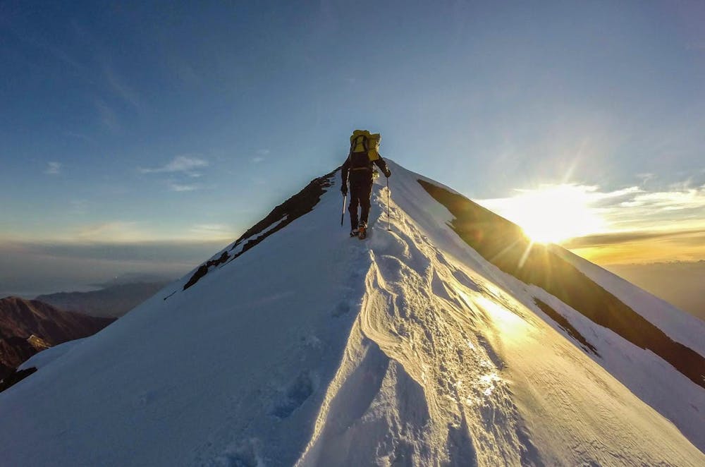
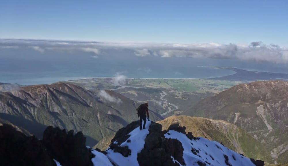
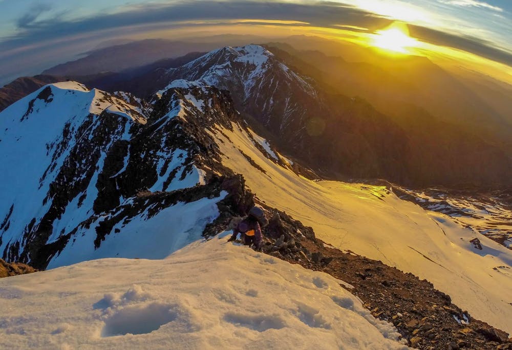
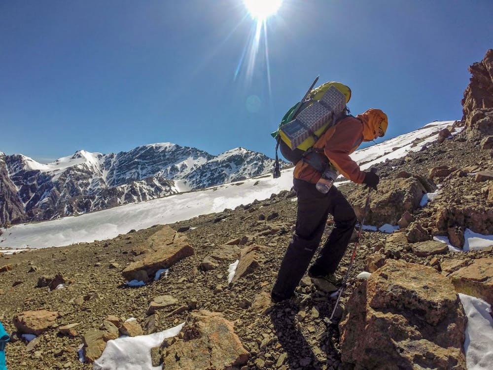
Manakau has some of the most stunning prominence in the country, gazing down on the ocean 2600m below and only 15km away. To the northwest plunges into the Clarence river. The route starts up Hapuku stream with a few bush stections, before starting the long climb up Surveyor Spur, first checking in at Stace Saddle, the up to the main Kaikoura Range, sidling low around some obstacles. Several false summits before the true top of Manakau. There is a camping spot around the 1920m contour. Its also possible to make a loop via Uwerau and Hapuku Hut.
- •
- •
- •
- •
Difficulty
Easy
The ascent involves simple glacier hiking and/or short, straightforward rock scrambles. Equivalent to Alpine F, F+
Low Exposure

The route is well protected or easy enough that protection is not required.
Remoteness

Little chance of being seen or helped in case of an accident.
Best time to visit
Equipment required
- Ice axe
- Bivy Kit
- Crampons