5 routes · Ski Touring

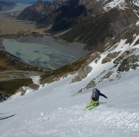
A stunning peak accessible straight from the Macauley Hut, with a south face offering great snow conditions.
Ski Touring Difficult

Part of the crux of these 2 days is actually getting yourself to the Macauley Hut, which can be barred by the wide and flowing river the Macauley. However, this pain (and wading!) can be avoided if you undertake this tour late in the winter, when spring hasn’t kicked in yet and increased the river levels. A 4x4 comes in handy too!
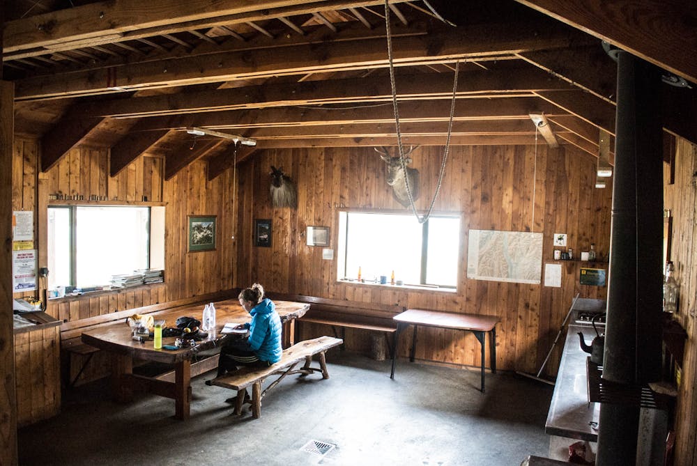
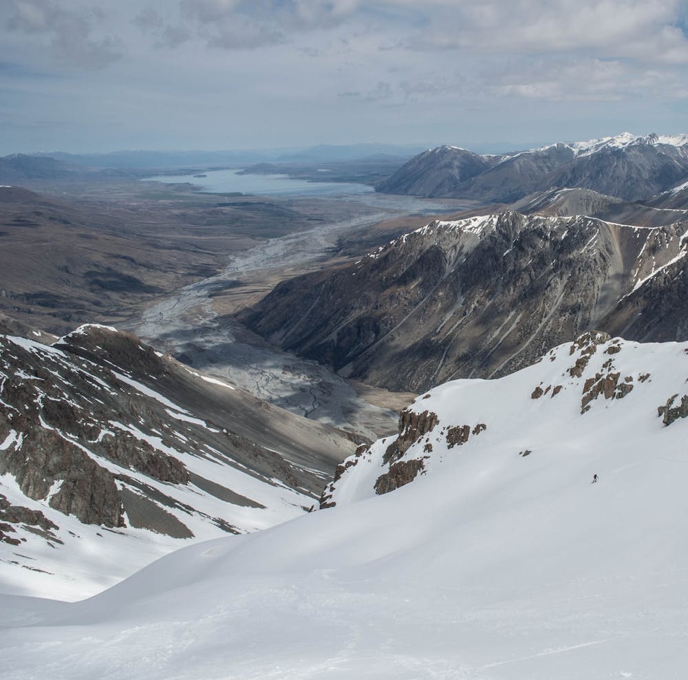
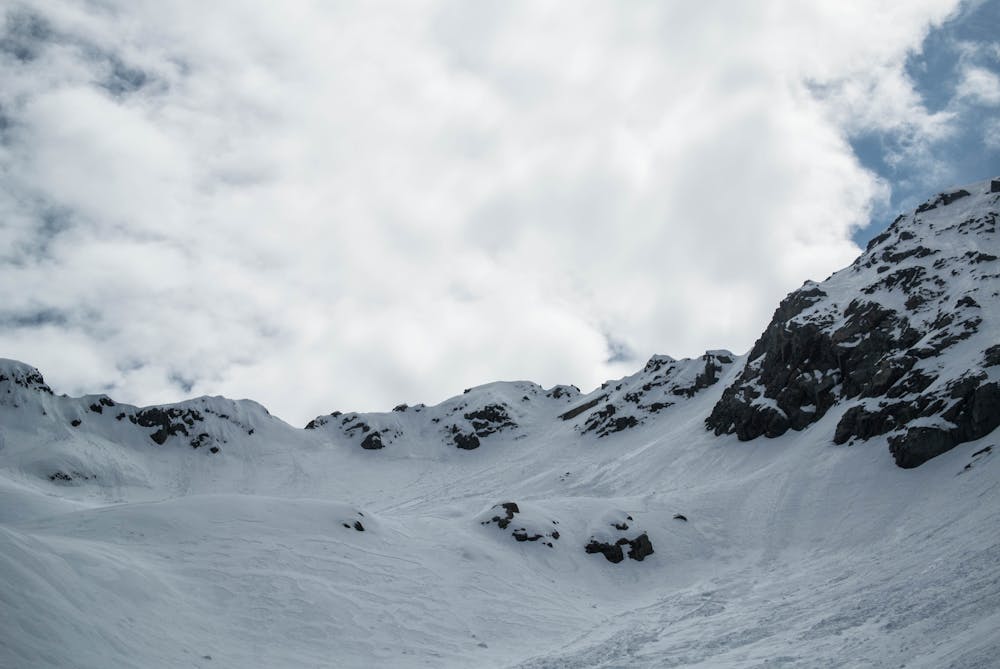
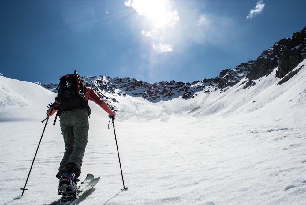
Walking the 4×4 track to the Macauley Hut is 18km and takes around 5 hours. You can then stash your skis and ski boots at the base of the access valley to Mt Ross then head to the Macaulay Hut, just a 4.5km walk away on flat ground further up the valley. The Macaulay Hut is an amazing hut with solar-powered lights, gas stoves, a wood fire oven and a fire itself – 5 accommodation in terms of New Zealand backcountry huts and at $10 per night, an absolute steal! Get some rest for a fairly big day tomorrow, which starts with a 1 hour 15 min walk to reach the base of the valley that leads to Mt Ross, get your ski boots on and skis on your packs for the quick romp up to the snowline. Once at the snowline, you gain height pretty fast as you ascend up to this face.
There’s a final steep yet short pitch that needs to be climbed to reach the summit of Mt Ross on its south face. Take in your awesome surroundings, with many giants flanking you and amazing views over to the Mount Cook range.
Depending on snow conditions, you’ll be able to ski down where you climbed up from (may need to be down climbed) to then be on the south face proper, where you’ve got a perfect, consistent pitch which leads you back down to the snow line. Once back at the snow line, shoulder your skis on your packs again to begin to long walk back to your car - what a day!
Difficult
Serious gradient of 30-38 degrees where a real risk of slipping exists.

5 routes · Ski Touring