Craigieburn Round
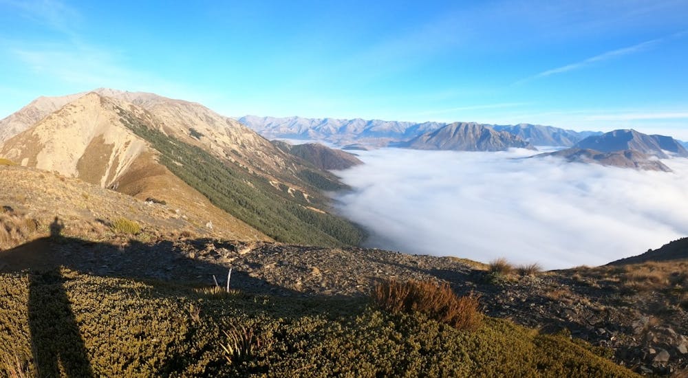
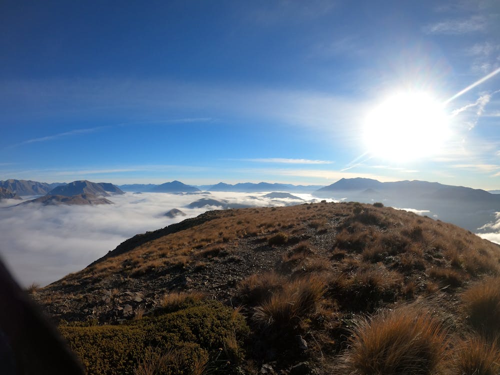
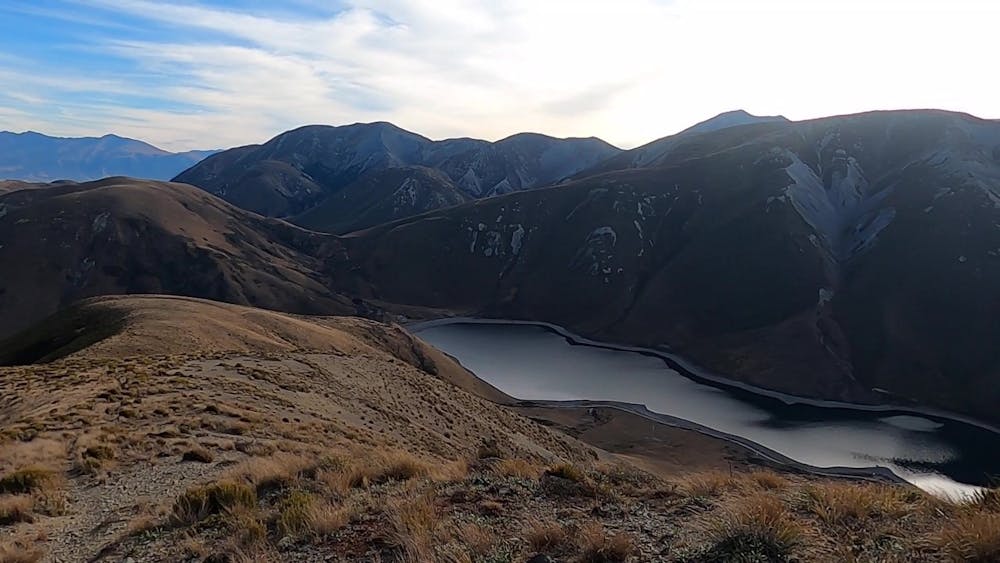
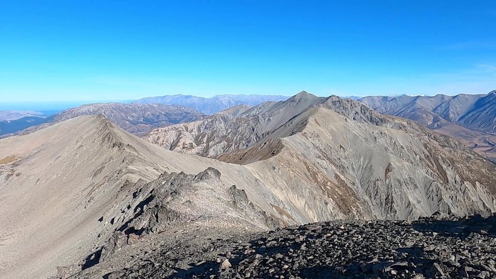
The Craigieburn Round circumnavigates the Castle Hill Basin via a series of high alpine ridge lines, traversing the Torlesse & Craigieburn Ranges.
Trail Running Severe
- Distance
- 104 km
- Ascent
- 6.7 km
- Descent
- 6.7 km
- Duration
- 1 day +
- Low Point
- 406 m
- High Point
- 2.2 km
- Gradient
- 27˚

The Craigieburn Round is a significant alpine ultra-running challenge that brings together the very best elements of Canterbury’s open alpine ridgeline landscapes. The Craigieburn Round maintains a close connection to the more technical Southern Alps Main Divide and also the expansive Canterbury Plains. Bordered by the ubiquitous Waimakariri River and industrial TranzAlpine Railway, this is a route that will live long in the memory of those who take up the challenge.
- •
- •
- •
- •
Difficulty
Severe
High Exposure

Some trail sections have exposed ledges or steep ascents/descents where falling could cause serious injury.
Remoteness

Away from help but easily accessed.