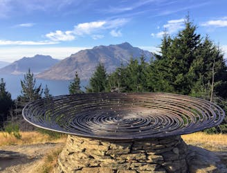
868 m away
Queenstown Hill Trail

A trail that stays open year-round, this hike from the heart of Queenstown is not only accessible, but very rewarding.
Easy Hiking
- Distance
- 8.3 km
- Ascent
- 504 m
- Descent
- 471 m

One of the most famous hikes in New Zealand, the Ben Lomond Track boasts spectacular views - and a leg-busting climb up from Queenstown.
Hiking Moderate

The Ben Lomond Track is a challenging, but rewarding hike that takes you into the heart of the Southern Alps. Climbing up above Queenstown, the trail boasts some of the most spectacular views in the area - including a stunning 360 degree vista of the Southern Alps, Lake Wakatipu and Queenstown itself.
There are multiple ways to tackle the Ben Lomond Track, including from the top of the Skyline Gondola. However, locals prefer to take it from the base of the Gondola, following the Tiki Walking Track up to where it joins with the Ben Lomond Track. From there, this relatively exposed route climbs up towards the top of Ben Lomond. If you want to take a different route on the way back it is possible, but parts of the mountain are exposed so be cautious.
A moderately challenging hike, the Ben Lomond Track is 14km / 6-hour trail for experienced hikers. If you start from the base of the gondola expect the trail climbs 1,400m so be prepared to breathe hard.
Accessible throughout the year, the different seasons bring different challenges. Check before heading out, as there are avalanche threats in winter and it is an exposed trail so pack for changeable conditions.
Moderate
Hiking along trails with some uneven terrain and small hills. Small rocks and roots may be present.
868 m away

A trail that stays open year-round, this hike from the heart of Queenstown is not only accessible, but very rewarding.
Easy Hiking

7 routes · Hiking