7 routes · Hiking
A fantastic hike over the top of Mount Dewar with an optional detour via to Shotover River.
Hiking Moderate

For some it's a hiking trail, for others a mountain bike track, but whichever your preference, the Devils Creek Track is a challenging circuit with plenty to offer. The track can be completed in either direction, but starting out from Skippers Saddle (with a direct hike up to Mount Dewar) is arguably easier.
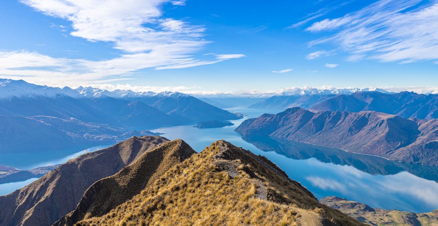
The climb up to Mount Dewar (1310m) is steep and challenging, but well worth the effort. The track crosses golden grassland as it climbs towards the summit, offering amazing views of the Whakatipu Basin.
Beyond Mount Dewar the track is, at times, harder to follow (download the map before you set out). Follow the saddle as it heads towards the Shotover River, before choosing whether or not to take the steep climb down to the river itself (the detour adds another 4.5km / 2 hours to the route, and involves 363m elevation change). From here, the trail winds its way back towards Coronation Peak Road.
A less-frequented route, Devils Creek Track is popular with hikers, bikers and runners so be aware of other trail users. At times the track is hard to follow, and the trail is steep and technical in places so come prepared.
Moderate
Hiking along trails with some uneven terrain and small hills. Small rocks and roots may be present.

Close to help in case of emergency.
7 routes · Hiking