Alpine Explorer - Downhill
Estuary Burn North East Branch
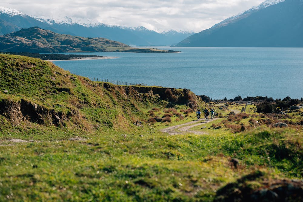
Mountain Biking Moderate
- Distance
- 24 km
- Ascent
- 392 m
- Descent
- 1.2 km
- Duration
- 1-2 hrs
- Low Point
- 285 m
- High Point
- 1.1 km
- Gradient
- 11˚

This is a popular mountain biking route which is generally considered to be moderate. It's extremely remote, it features medium exposure and is typically done between September and May. From a low point of 285 m to the maximum altitude of 1.1 km, the route covers 24 km, 392 vertical metres of ascent and 1240 vertical metres of descent.

- •
- •
- •
- •
Description
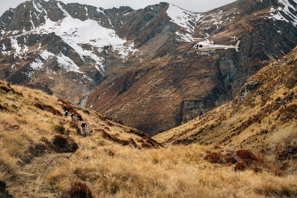
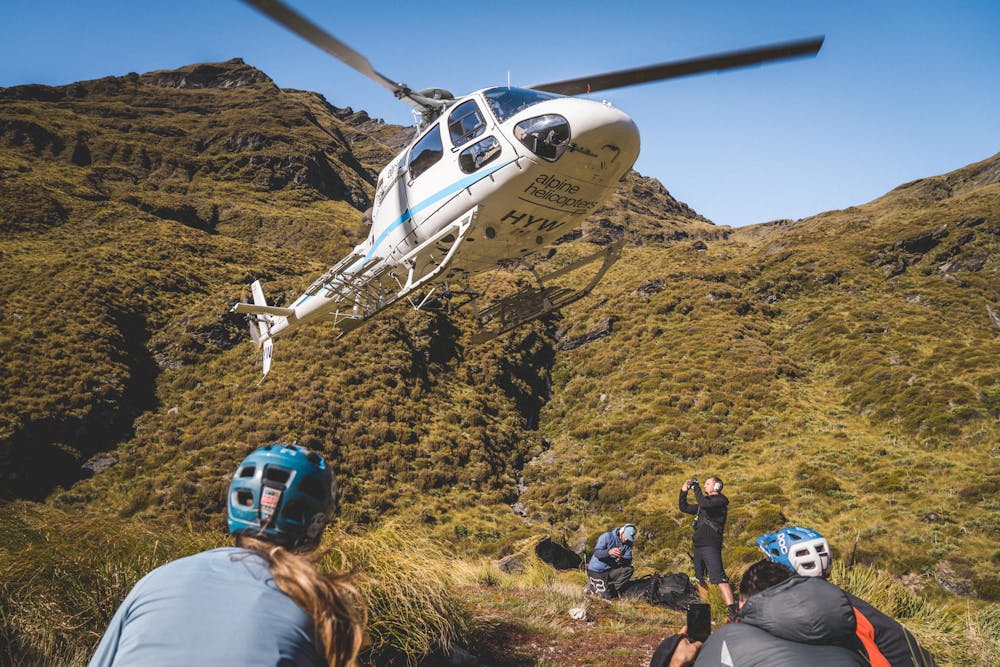
25km Mountain Bike Descent via helicopter access
Difficulty
Moderate
Mostly stable trail tread with some variability, with unavoidable obstacles 8in/20cm tall or less. Other obstacles such as rock gullies and steep sections may exist. Ideal for lower intermediate riders.
Medium Exposure

The trail contains some obstacles such as outcroppings and rock which could cause injury.
Remoteness

In the high mountains or remote conditions, all individuals must be completely autonomous in every situation.
Best time to visit
Features
- Flow
- Picturesque
- Singletrack
- In the forest