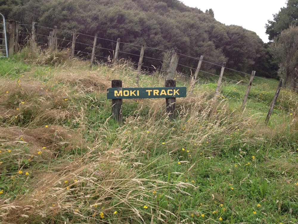
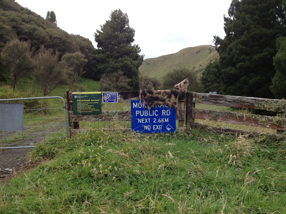
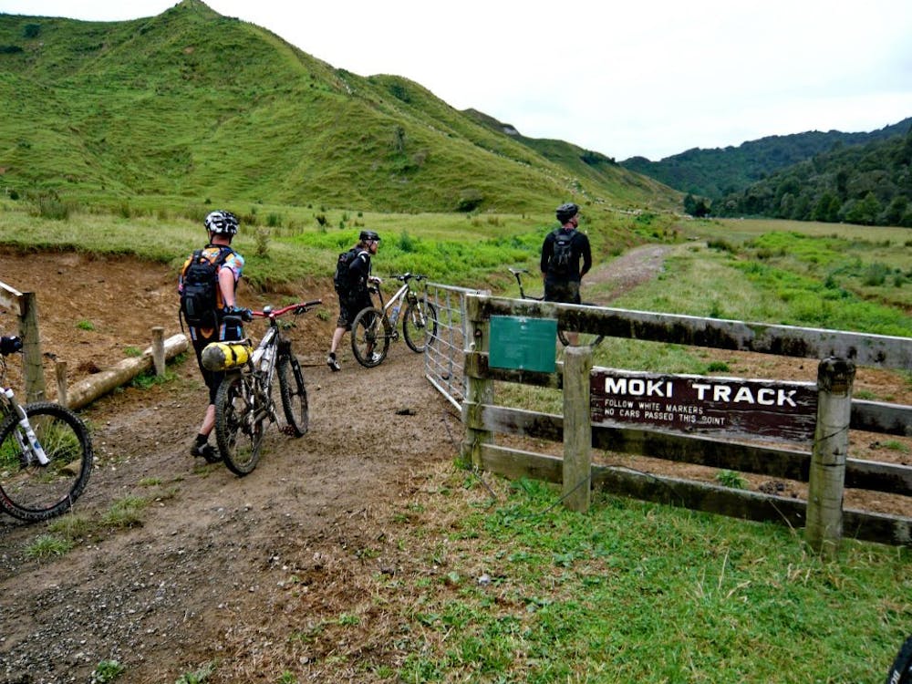
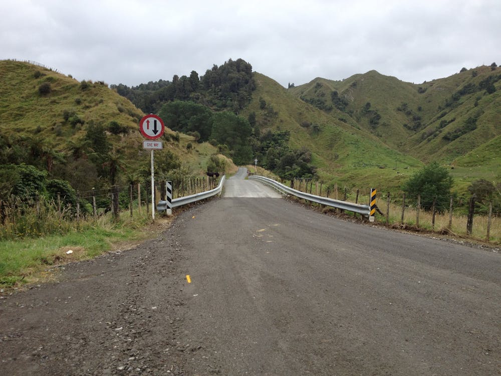
Rerekapa and Moki Track
Rerekapa and Moki Track
Mountain Biking Severe
- Distance
- 45 km
- Ascent
- 1.3 km
- Descent
- 1.3 km
- Duration
- 4-5 hrs
- Low Point
- 147 m
- High Point
- 364 m
- Gradient
- 9˚

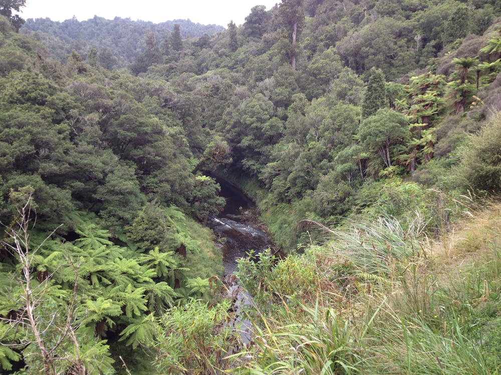
This is a popular mountain biking route which is generally considered to be severe. It's extremely remote, it features high exposure and is typically done between January and April. From a low point of 147 m to the maximum altitude of 364 m, the route covers 45 km, 1296 vertical metres of ascent and 1295 vertical metres of descent.
- •
- •
- •
- •
- •
- •
- •
- •
- •
- •
- •
- •
- •
- •
Description
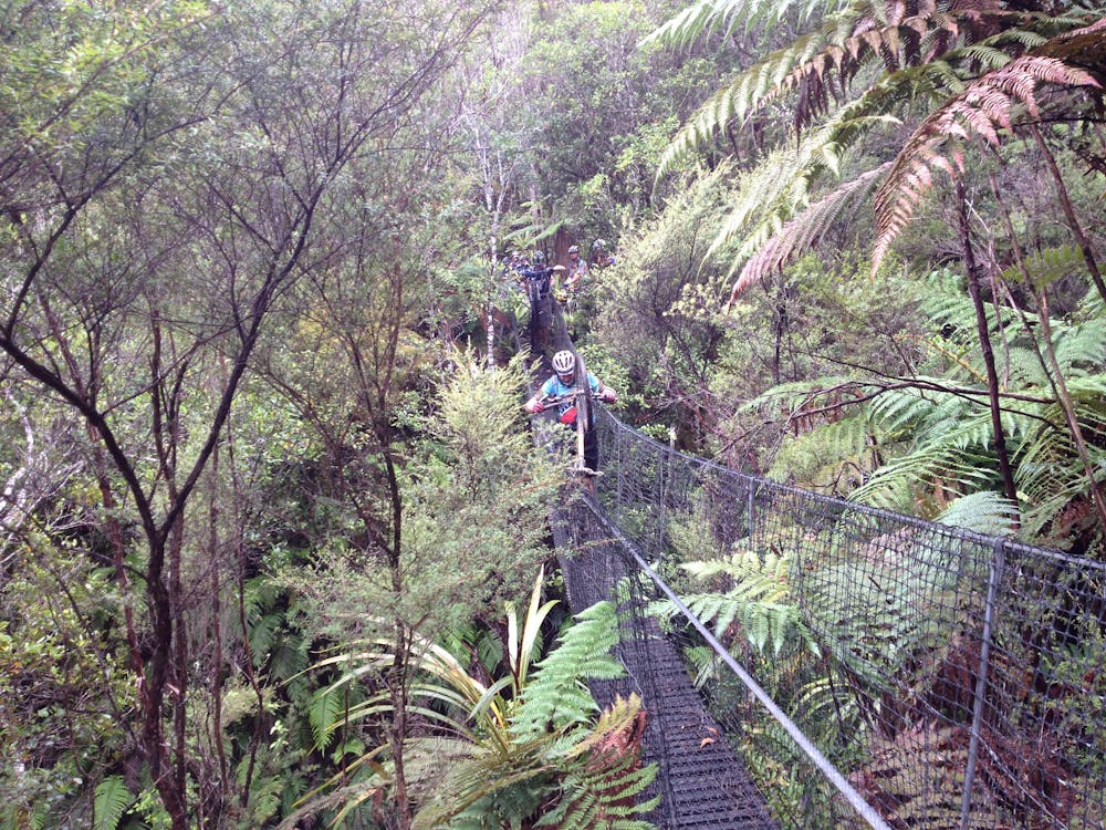
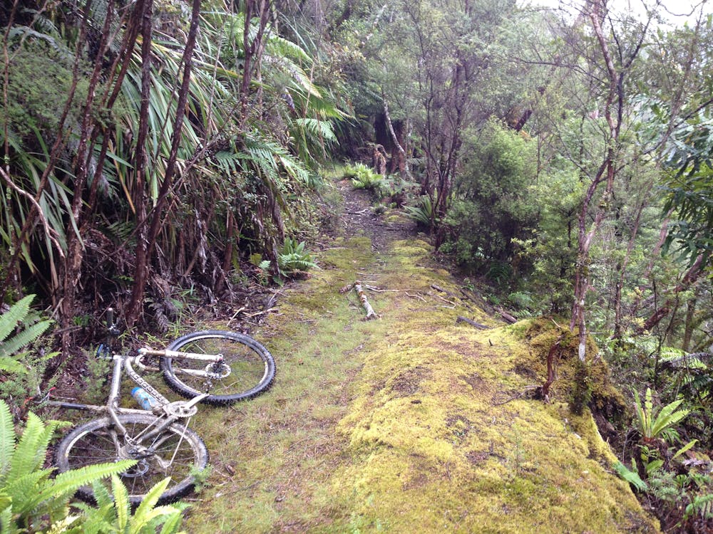
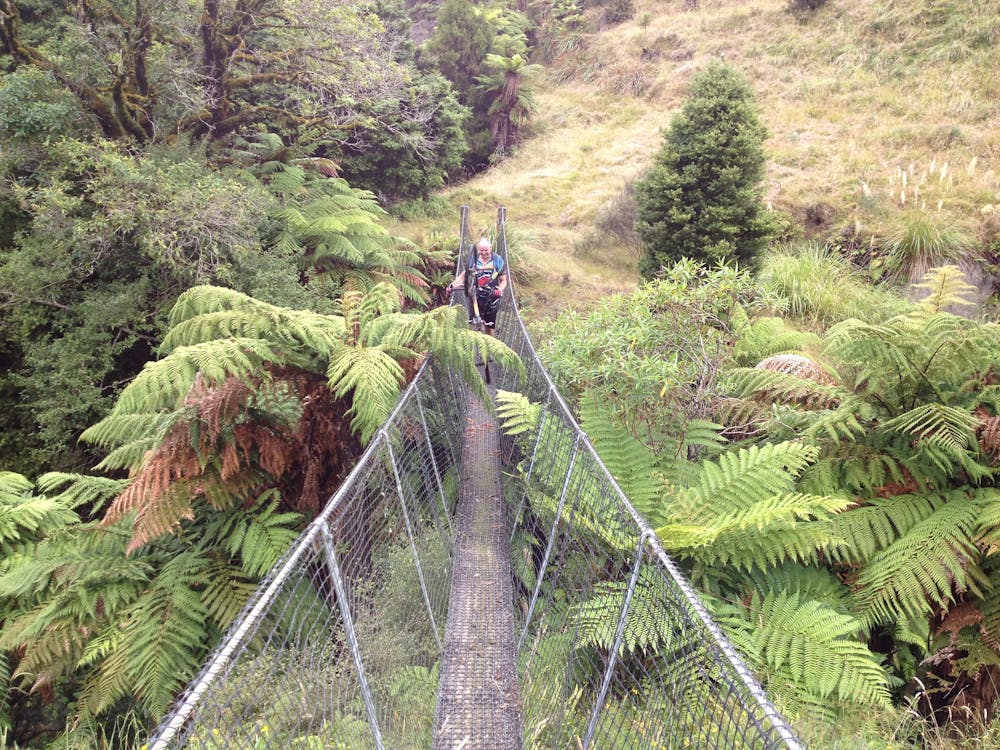
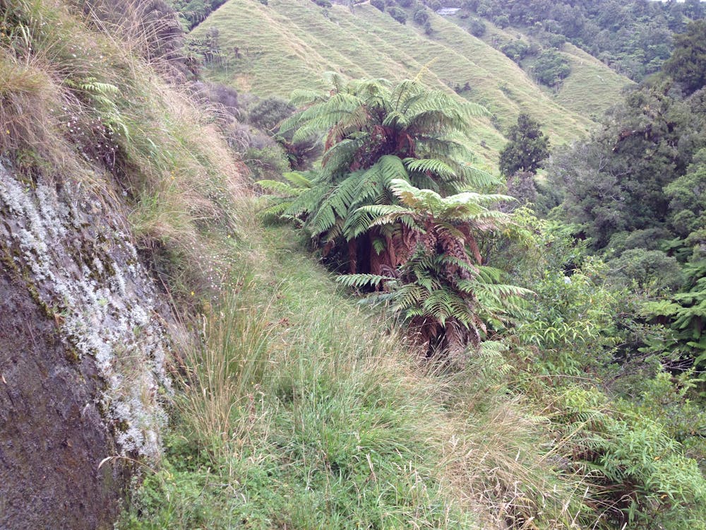
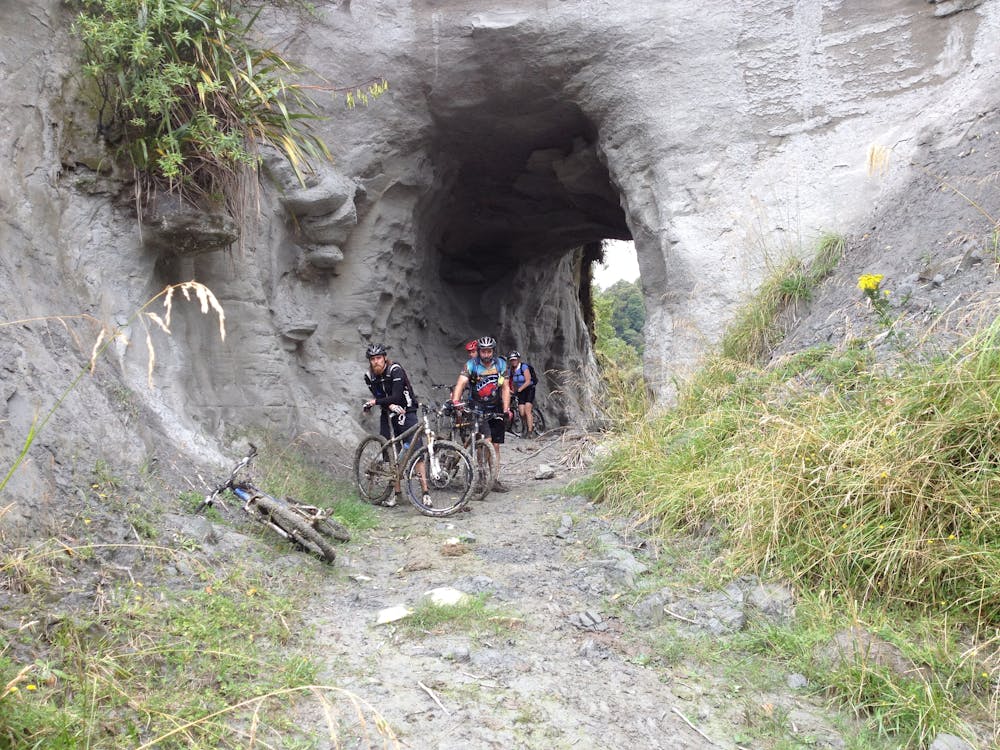
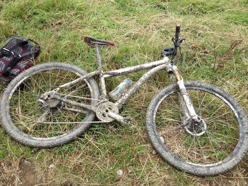
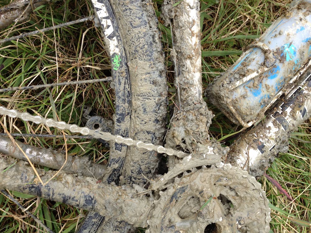
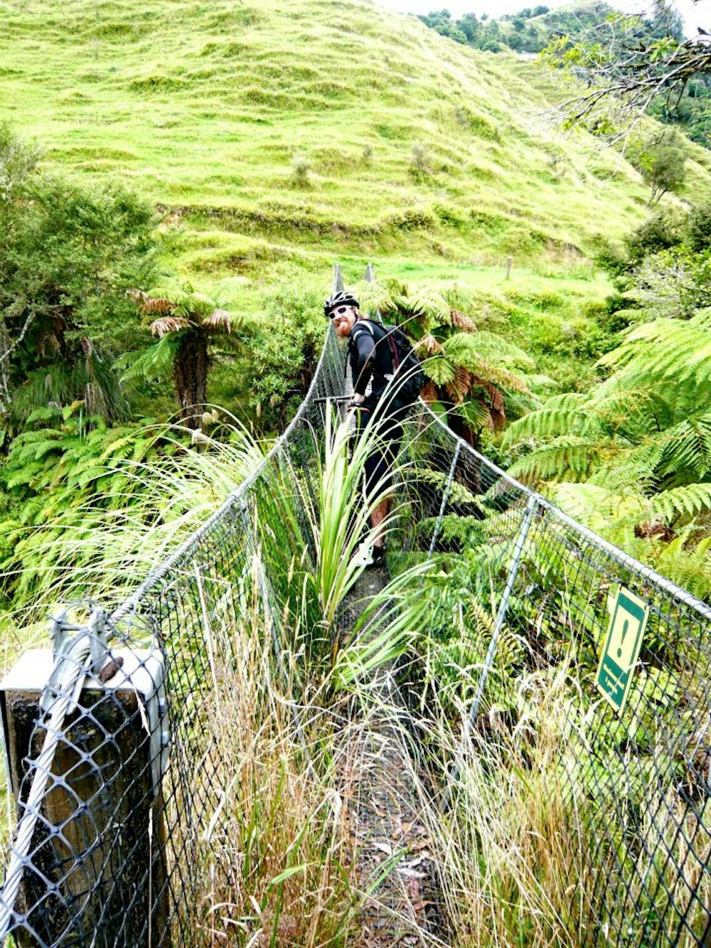
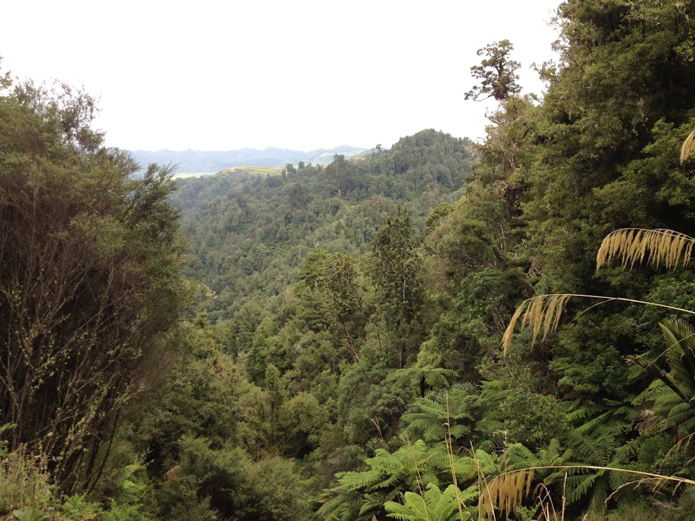
Very remote trail which will require a high level of fitness and back country experience. PLB is highly recommended. Lots of hike and bike sections and very muddy places.
Difficulty
Severe
Widely variable, narrow trail tread with steeper grades and unavoidable obstacles of 15in/38cm tall or less. Obstacles may include unavoidable bridges 24in/61cm wide or less, large rocks, gravel, difficult root sections, and more. Ideal for advanced-level riders.
High Exposure

Some trail sections have exposed ledges or steep ascents/descents where falling could cause serious injury.
Remoteness

In the high mountains or remote conditions, all individuals must be completely autonomous in every situation.
Best time to visit
Features
- Technical
- Hike a bike
- Picturesque
- Singletrack
- In the forest