3.1 km away
Abel Tasman Coastal Track
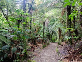
If sandy beaches, beautiful forests and a warm climate sound like your thing, this 60 kilometre adventure is the hike for you.
Moderate Hiking
- Distance
- 22 km
- Ascent
- 824 m
- Descent
- 829 m
Comfortable hike through beautiful bush with lovely beaches.
Hiking Moderate

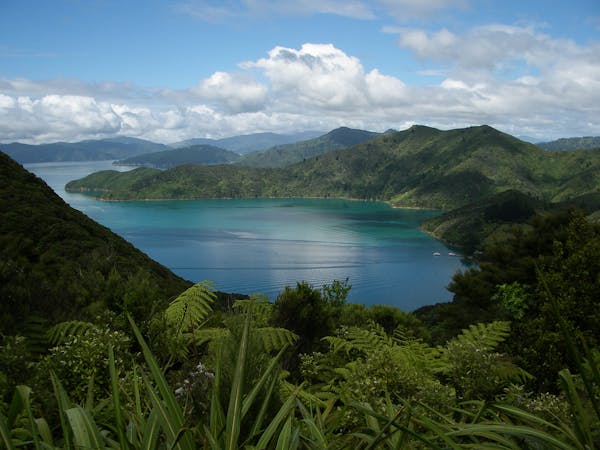
This is a popular hiking route which is generally considered to be moderate. It's not remote, it features low exposure and is typically done between September and April. From a low point of 3 m to the maximum altitude of 141 m, the route covers 14 km, 613 vertical metres of ascent and 626 vertical metres of descent.

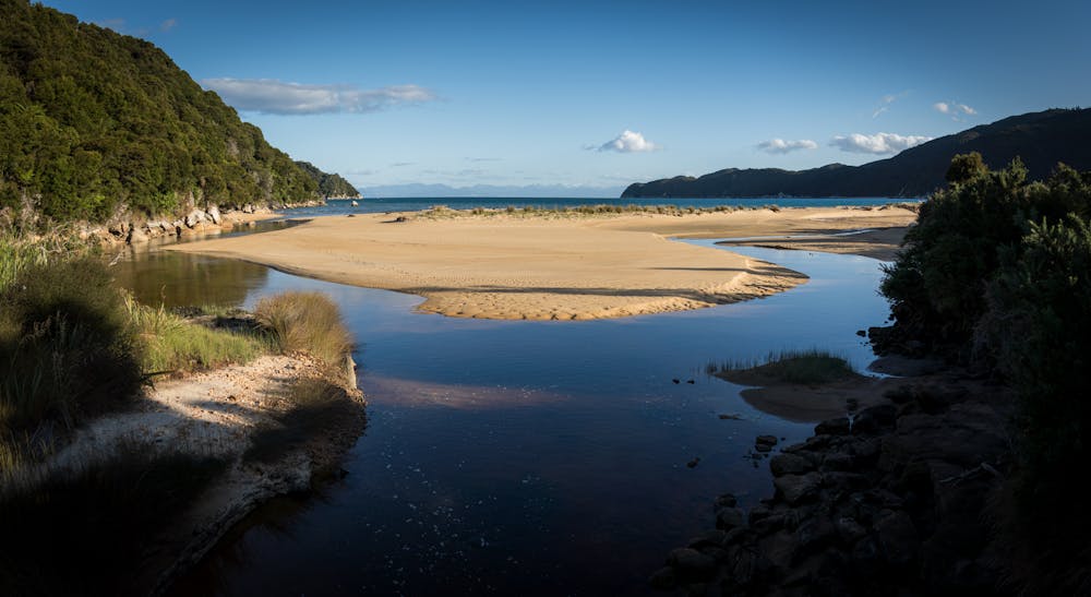
The scenery and the wildlife
Moderate
Hiking along trails with some uneven terrain and small hills. Small rocks and roots may be present.

The path is on completely flat land and potential injury is limited to falling over.
Close to help in case of emergency.
3.1 km away
If sandy beaches, beautiful forests and a warm climate sound like your thing, this 60 kilometre adventure is the hike for you.
Moderate Hiking
3 routes · Hiking

9 routes · Hiking