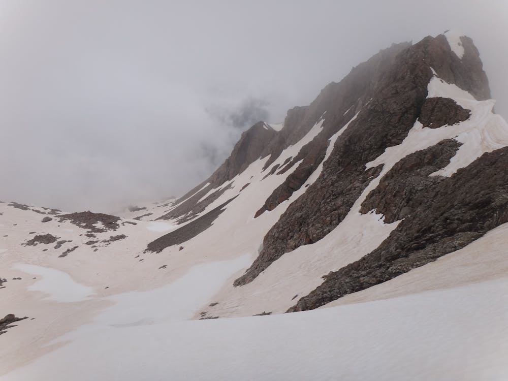
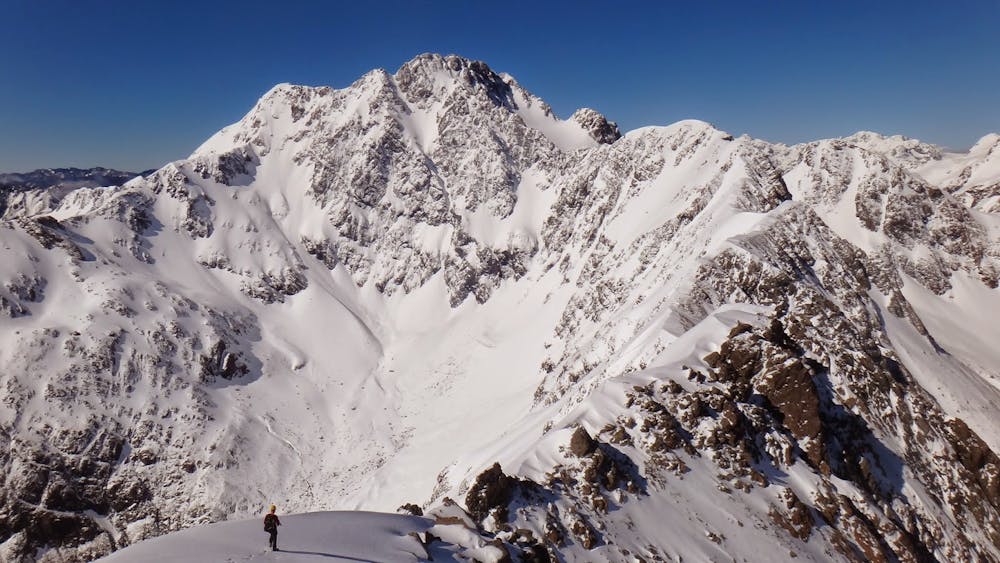
Mt Philistine
Remote alpine feels just west of the divide with great view of the Otira face of Rolleston
Alpine Climbing Easy
- Distance
- 7.8 km
- Ascent
- 1 km
- Descent
- 1 km
- Low Point
- 899 m
- High Point
- 1.9 km
- Gradient
- 30˚

Mt Philistine is an excellent early mountaineering outing in Arthur's Pass, moderately wild. The crux is at Warnock's bluffs. After crossing the Otira footbridge, ascend scree to the shoulder of the Warnock bluffs spur, then sidle round a little to gain an easy gully scramble. Don't be tempted to scramble up rocky tussocks too early, the route up should be fairly easy scrambling up a faint track. Above, follow the broad gully towards the summit. Return the same way.
- •
- •
Difficulty
Easy
The ascent involves simple glacier hiking and/or short, straightforward rock scrambles. Equivalent to Alpine F, F+
Low Exposure

The route is well protected or easy enough that protection is not required.
Remoteness
Close to help in case of emergency.
Best time to visit
Equipment required
- Ice axe
- Crampons