Brodrick Pass route
A true Kiwi Wilderness experience and crossing of the Southern Alps.
Also in Canterbury, New Zealand
Hiking Extreme
- Distance
- 21 km
- Ascent
- 1.3 km
- Descent
- 1.6 km
- Duration
- 6-7 hrs
- Low Point
- 267 m
- High Point
- 1.6 km
- Gradient
- 27˚

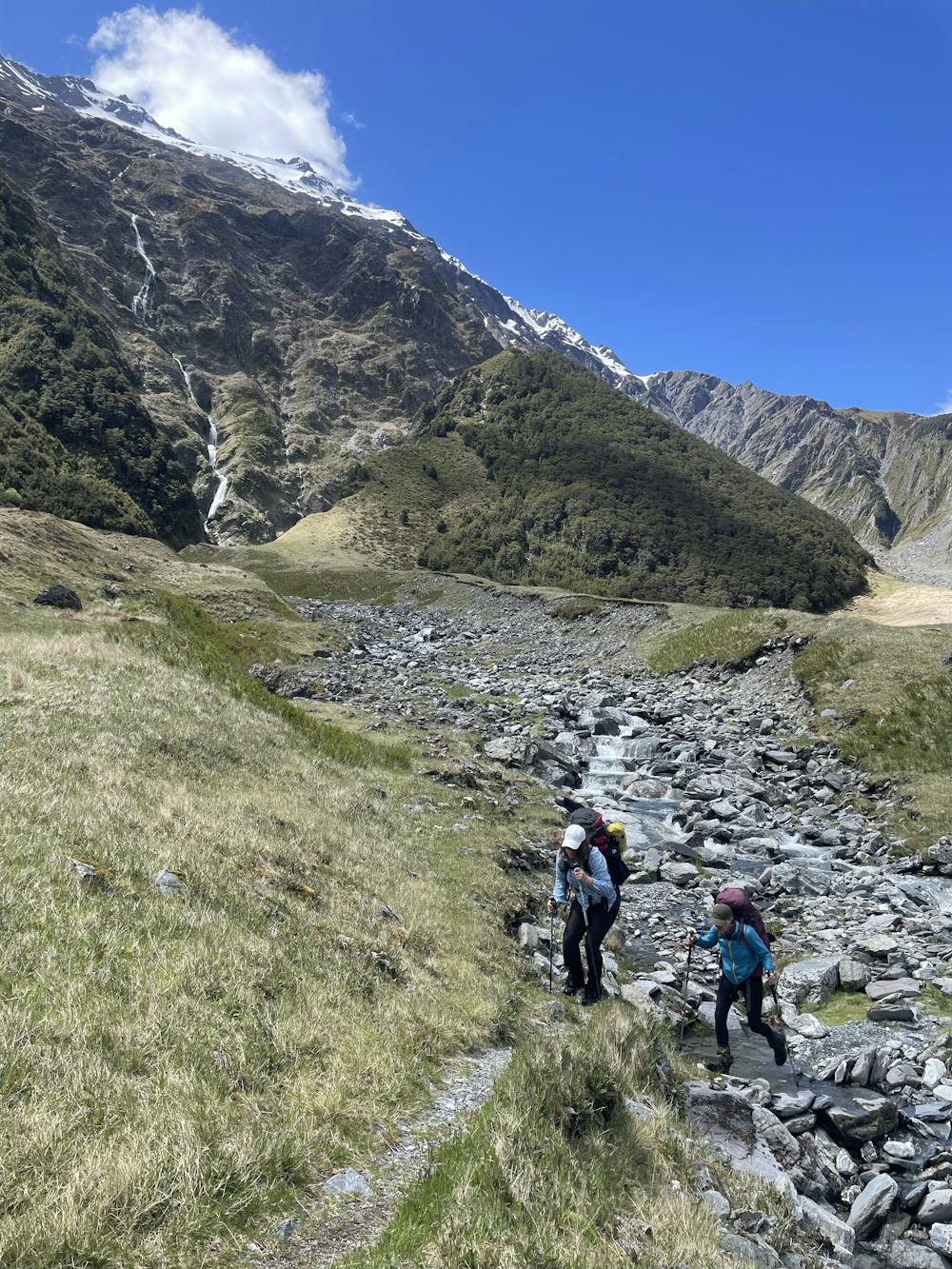
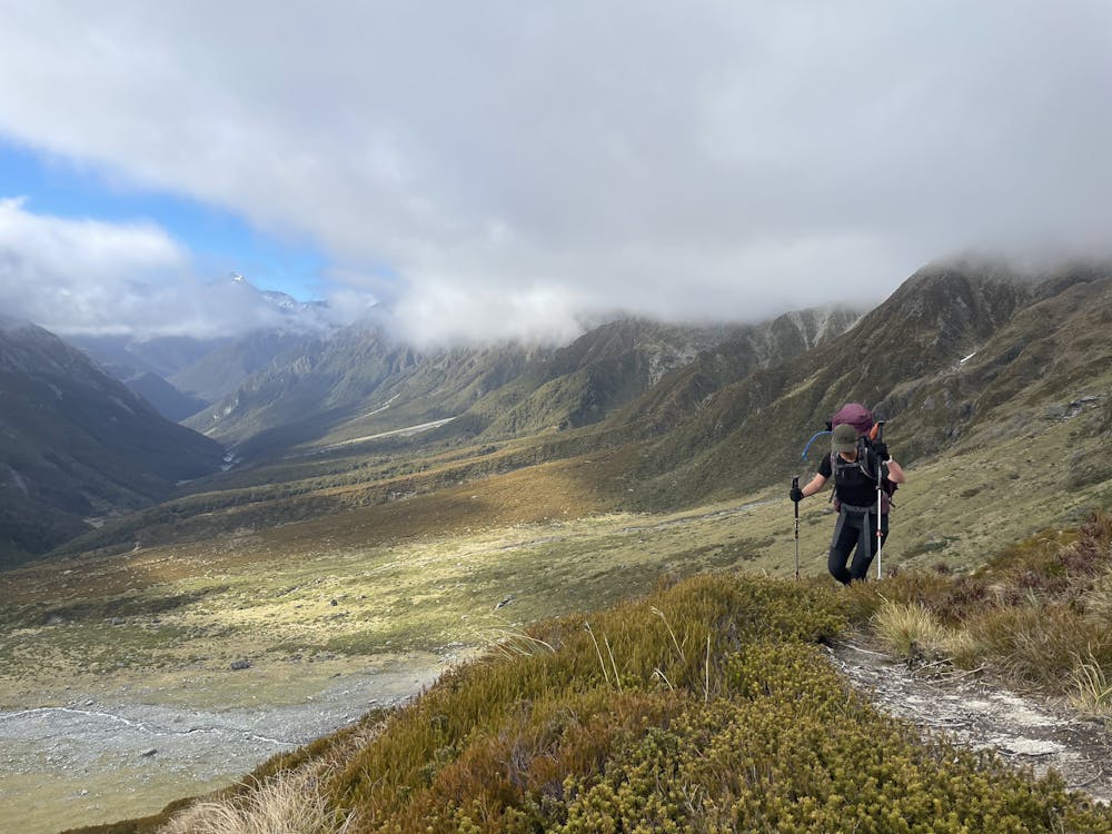
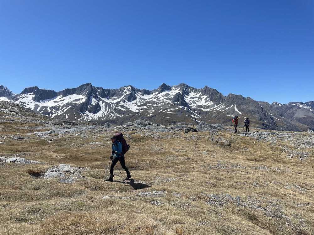
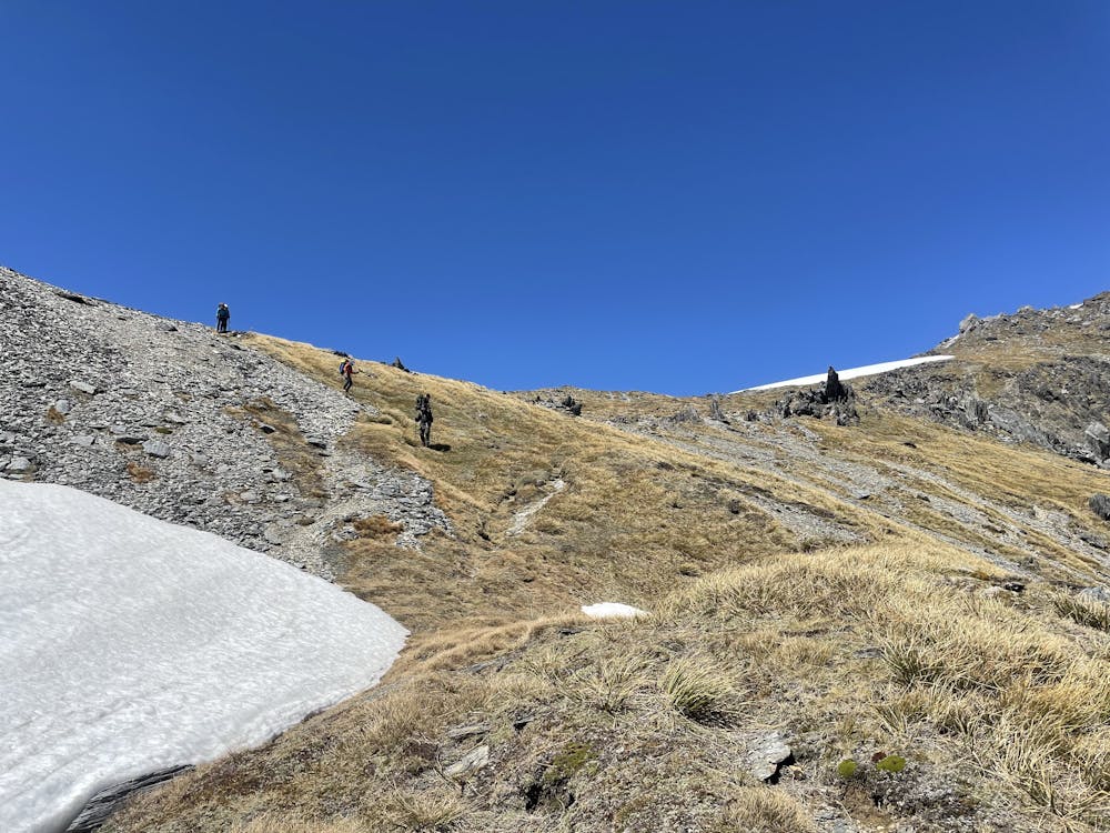
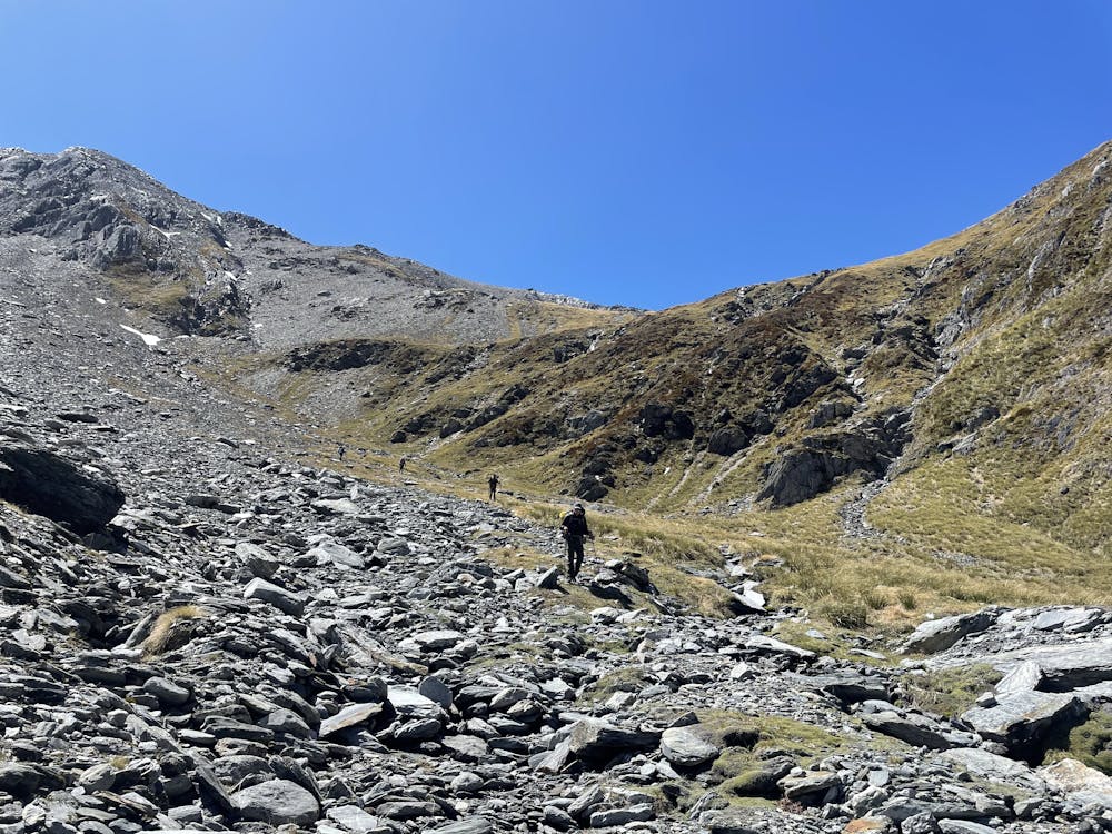
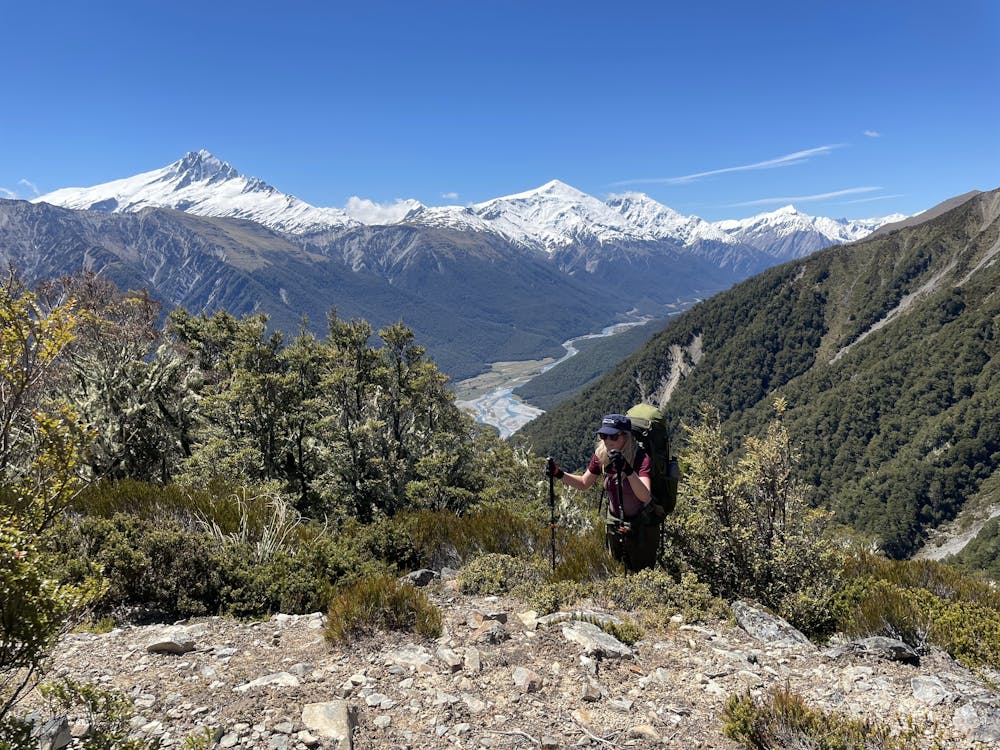
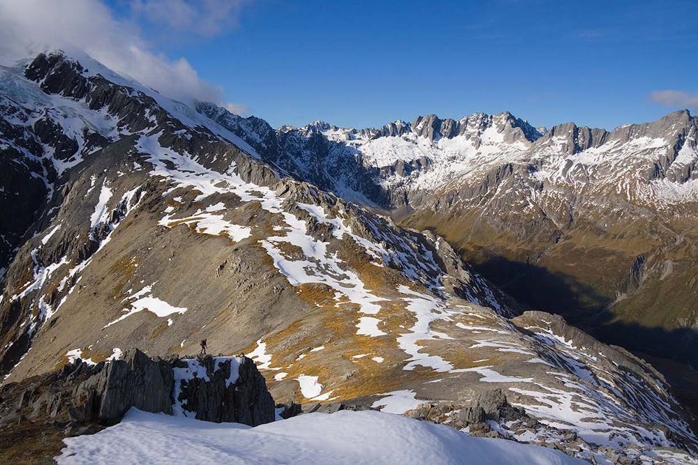
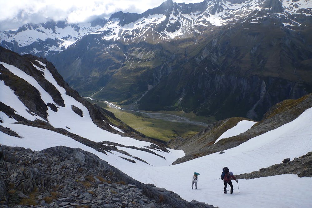
The Brodrick Pass Trek is a 2 day crossing of New Zealand's Main Divide. The trek crosses a wide variety of landscapes - open river flats and gentle beech forests to rugged, snow-covered mountain tops. It is a "Kiwi Classic" linking the Hopkins/Huxley Valleys to the less accessible Landsborough Wilderness Area.
- •
- •
- •
- •
- •
- •
- •
- •
- •
- •
- •
Description
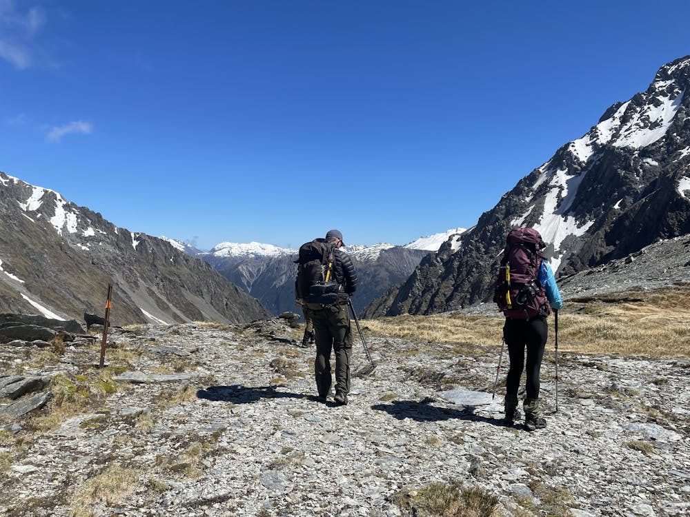
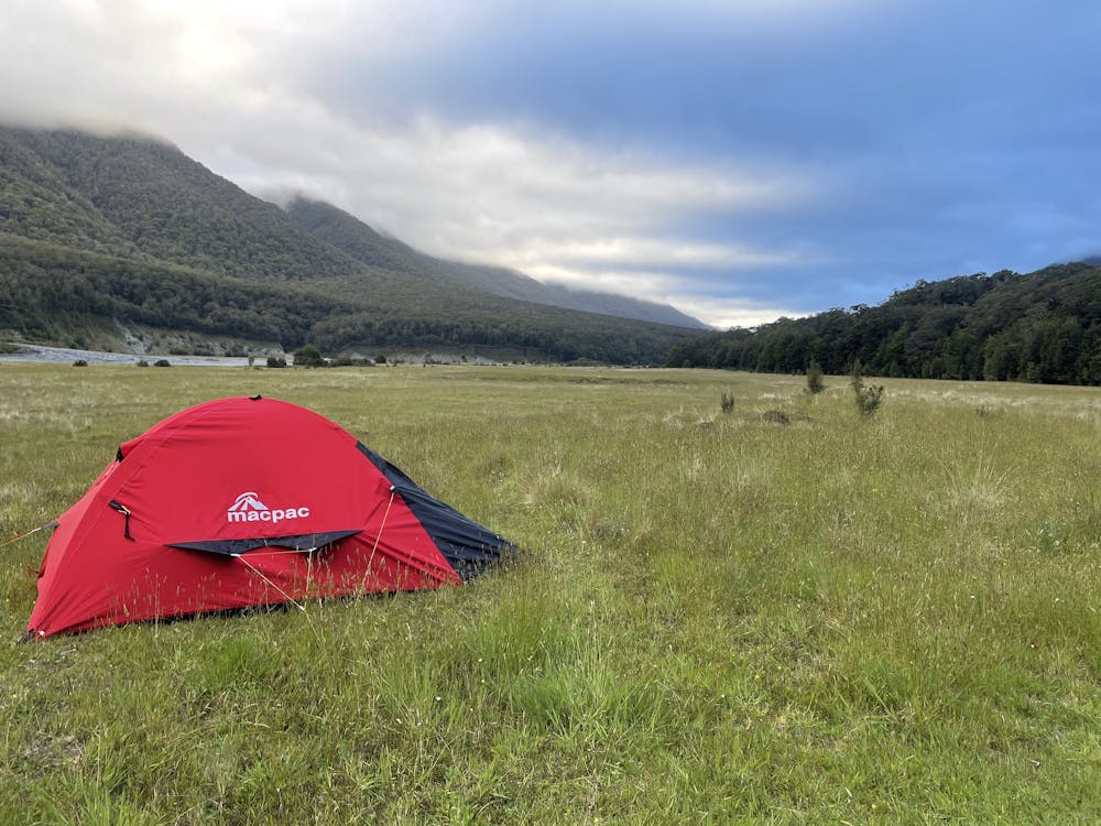
The trekking route leads up the Hopkins Valley and into the North Branch of the Huxley River to Brodrick Hut. From there an alpine crossing of the Main Divide via Brodrick Pass is followed by a steep descent to the Landsborough Valley and Creswicke Flat Hut.
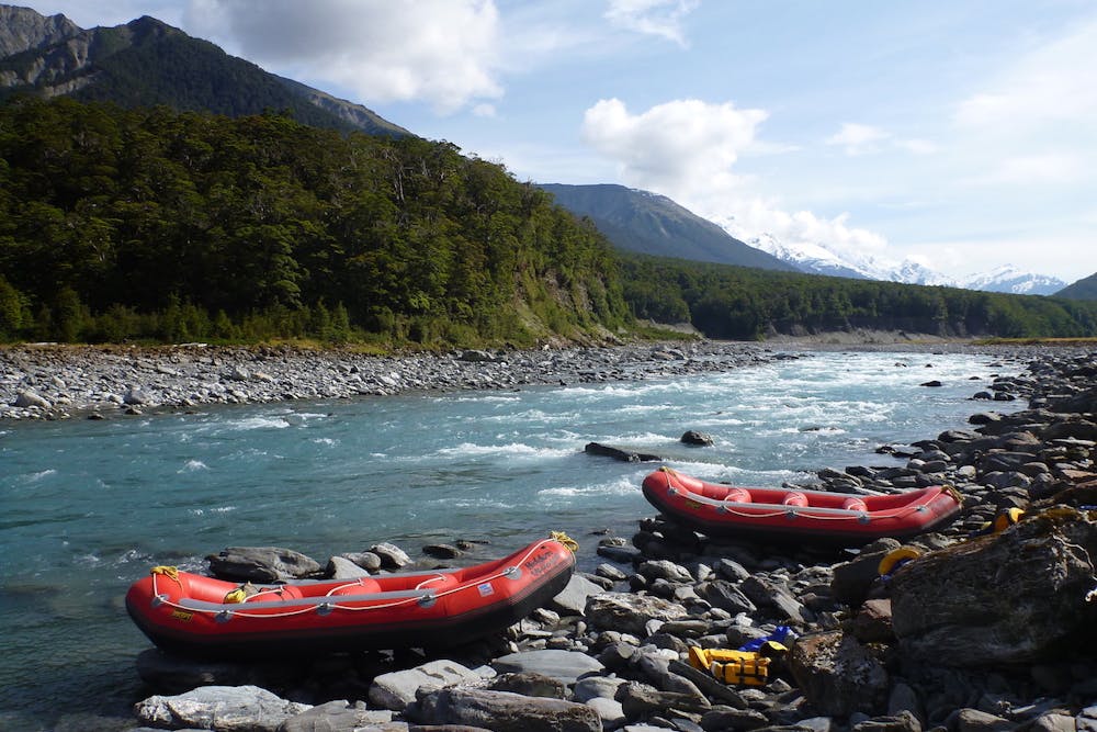
Enjoy this trip with a professional IFMGA / NZMGA alpine trekking guide and raft out the Landsborough River with our partner Hidden Valleys Rafting: → <a href="https://alpinerecreation.com/brodrickpass.html">Brodrick Pass - Landsborough River Trek & Raft Adventure</a>
Difficulty
Extreme
Scrambling up mountains and along technical trails with moderate fall exposure. Handholds are necessary to navigate the trail in its entirety, although they are not necessary at all times. Some obstacles can be very large and difficult to navigate, and the grades can often be near-vertical. The challenge of the trail and the steepness of the grade results in very strenuous hiking. Hikes of this difficulty blur the lines between "hiking" and "climbing".
High Exposure

Some trail sections have exposed ledges or steep ascents/descents where falling could cause serious injury.
Remoteness

In the high mountains or remote conditions, all individuals must be completely autonomous in every situation.
Best time to visit
Features
- Alpine
- Wildlife
- Picturesque
- Wild flowers
- Forestry or heavy vegetation