Chancellor Hut Route
Mount Cook
Current Chancellor Hut Route
Hiking Easy
- Distance
- 2.7 km
- Ascent
- 16 m
- Descent
- 426 m
- Duration
- 0-1 hrs
- Low Point
- 823 m
- High Point
- 1.2 km
- Gradient
- 15˚

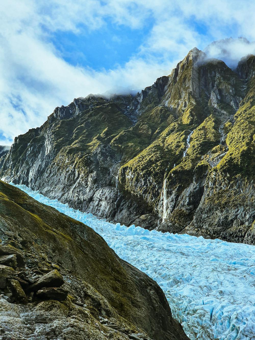
This is a popular hiking route which is generally considered to be easy. It's remote, it features low exposure and is typically done all year round. From a low point of 823 m to the maximum altitude of 1.2 km, the route covers 2.7 km, 16 vertical metres of ascent and 426 vertical metres of descent.
Description
The scree scramble to get off the glacier is the most difficult bit of this route. A marked track will take you up to the tops where the markers get few and far between. Keep heading across the slope and you'll eventually spot the hut.
Difficulty
Easy
Walking along a well-kept trail that’s mostly flat. No obstacles are present.
Low Exposure

The path is on completely flat land and potential injury is limited to falling over.
Remoteness

Away from help but easily accessed.
Best time to visit
Features
- Alpine
- Historical
- Picturesque
- Water features
- Forestry or heavy vegetation