10 routes · Alpine Climbing · Hiking
Explore the south island’s wild west coast with this 2 day out-and-back adventure.
Hiking Difficult

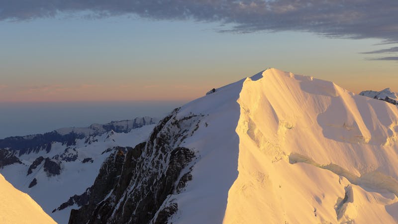
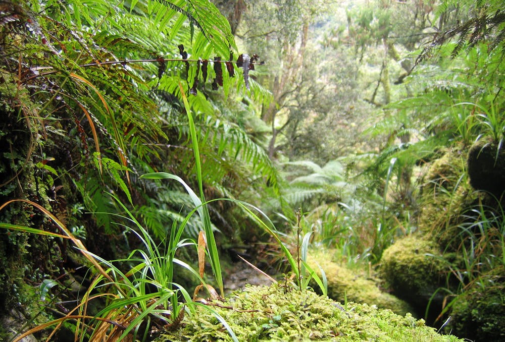
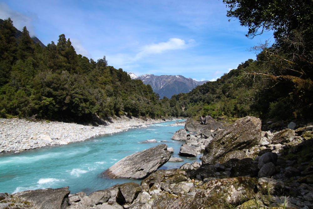
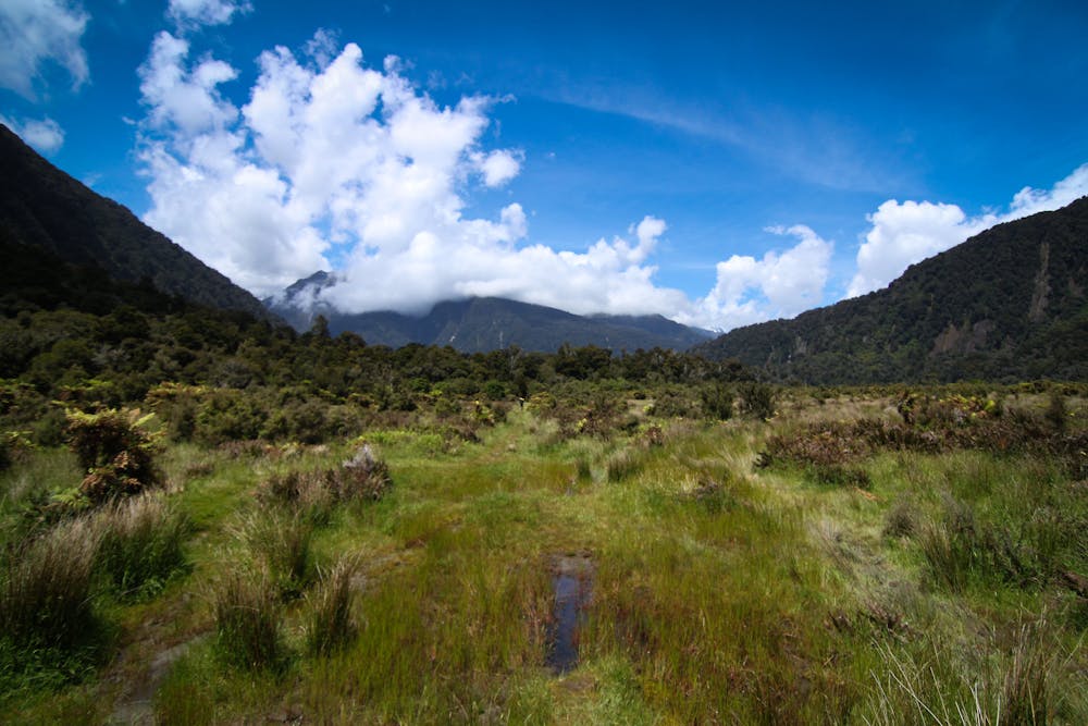
Located south of Fox Glacier in the Te Wahipounamu World Heritage Area, the Copland Track is a hiking adventure with many exciting chapters. The trail starts by fording Rough Creek, and then follows the icy blue Copeland River down Copland Valley. There are a lot of muddy sections (sometimes knee high!) and water crossings, so pack your waterproof boots. In the first few kilometres you’ll come across a lookout point of the confluence of the Copland and Karangarua rivers. The trail eventually begins to climb up and away from the valley floor, where the scenery transforms into mossy boulder fields and lush green fuchsia and ribbonwood forest. You will cross a few suspension bridges and pass a couple of beautiful waterfalls before you hit the Welcome Flat Hut at around the 20km mark. Behind the hut there are natural hot pools, so bring your bathers! The next stretch between Welcome Flat Hut and Douglas Rock Hut is notoriously challenging underfoot. You will need to ford the river a few times and the area is prone to flooding and rockslides, and at some points the trail has been completely swept away. The trail follows the valley above the river and eventually comes to Douglas Rock Hut. Here you will be rewarded with fantastic views of the surrounding 3000 metre peaks of the Southern Alps, including the famous Mt. Sefton and Aoraki. Stay the night, and then do it all again in reverse the next day. Tips: Bring your sandfly repellent and check the Department of Conservation website for route condition updates. Sources https://www.doc.govt.nz/parks-and-recreation/places-to-go/west-coast/places/westland-tai-poutini-national-park/things-to-do/tracks/copland-track-to-welcome-flat-hut/ https://thetrek.co/trail-profile-the-copland-track-new-zealand/ https://bearfoottheory.com/copland-track-welcome-flat-hot-springs-new-zealand-backpacking-guide/
Difficult
Hiking trails where obstacles such as rocks or roots are prevalent. Some obstacles can require care to step over or around. At times, the trail can be worn and eroded. The grade of the trail is generally quite steep, and can often lead to strenuous hiking.

The path is on completely flat land and potential injury is limited to falling over.

Away from help but easily accessed.
10 routes · Alpine Climbing · Hiking
11 routes · Alpine Climbing · Hiking
10 routes · Hiking