
9 routes · Hiking
One of New Zealand's most challenging Great Walks, the Heaphy Track is a stunning multi-day hike through diverse terrain.
Also in Tasman District, New Zealand
Hiking Difficult

Boasting everything from summit views to dense rainforest and miles of coastal path, it's easy to see why the Heaphy Track is a favourite amongst the Great Walks. But those who take on the challenge are made to work for the rewards: this 4-6 day hike is a challenging - albeit well-marked - trail through the heart of New Zealand's South Island.
The below itinerary follows Park & Rec guidelines, and campsites must be booked in advance before setting off.
Stage One: Brown Hut to Perry Saddle Hut (17.5km)
Setting out from Brown campsite, follow the track into the bush as it skirts beneath the summit of Brown Hill. A break at the Aorere Shelter Campsite is worthwhile for the views, before continuing up to the Perry Saddle Campsite, and a refreshing dip in the nearby pool at Gorge Creek.
Stage Two: Perry Saddle to Gouland Downs (7km)
This relatively short stage is also easier than yesterday, dropping down towards Cave Brook and the Gouland Downs Hut.
Stage Three: Gouland Downs Hut to Saxon Hut (5.4km)
Another short stage, the hike to Saxon Hut is relatively flat as it winds through tussock country. There's plenty to explore along the way, but be warned: when the clouds come in it's easy to get disorientated.
Stage Four: Saxon Hut to James Mackay Hut (11.8km)
A stage to watch the weather on. Mackay Downs is known to flood in wet conditions, and is impassable when bad. Do not attempt to cross when the waters are high, instead wait for them to subside. Beyond this, the path criss-crosses small streams as it winds its way through beech forest. Arriving at James Mackay Hut, on a good day you can enjoy a break with a view over the Tasman Sea.
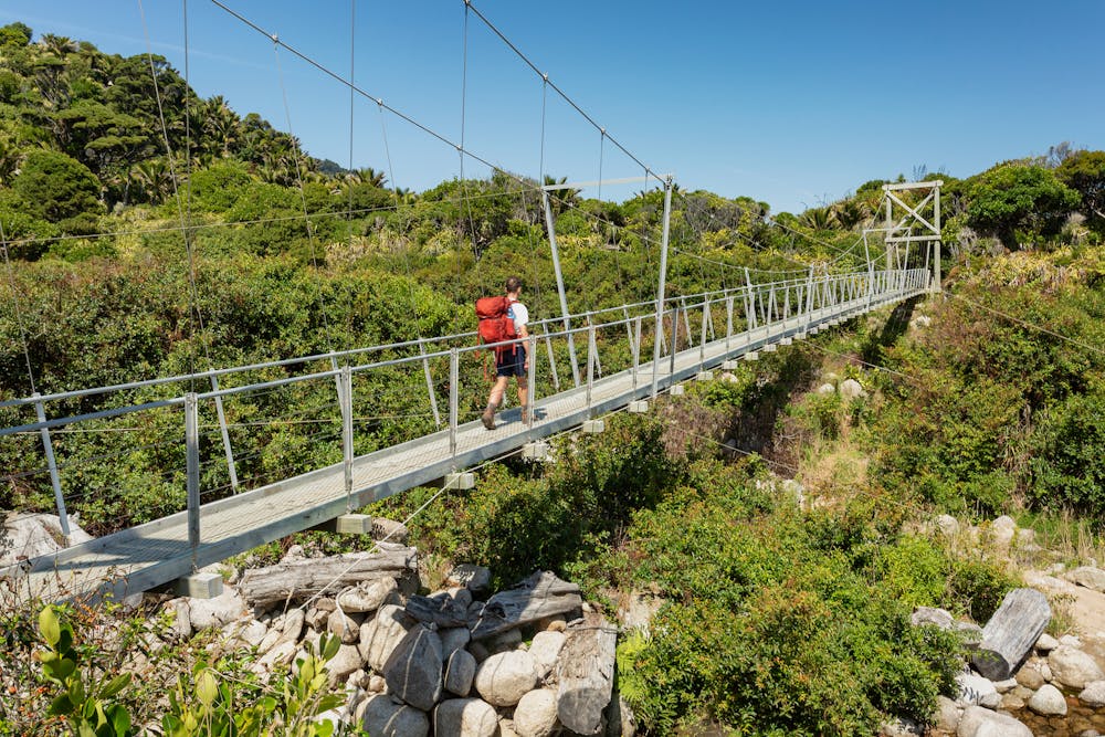
Stage Five: James Mackay Hut to Heaphy Hut (20.5km)
A long day of spectacular hiking down to the Heaphy River. A beautiful trail leads down through tall forest towards the river, before crossing streams and the river itself on bridges that can - at times - get inundated. Be aware and do not attempt crossings when the water is high.
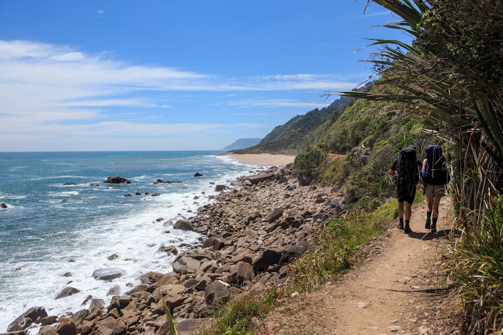
Stage Six: Heaphy Hut to Kohaihai River Mouth (16.2km)
From forest to coast, the homeward leg is a rewarding stretch down the coast. Beware high tides that make sections of the path impassable, and heavy rains make parts of the trail through the forest dangerous to cross. With plenty of resting places, it's a great stage to take your time and enjoy the stunning surroundings.
It is imperative to book in advance for the Heaphy Trail. Parts of the trail have recently become impassable due to heavy rains, so check local conditions before attempting any stage.
Difficult
Hiking trails where obstacles such as rocks or roots are prevalent. Some obstacles can require care to step over or around. At times, the trail can be worn and eroded. The grade of the trail is generally quite steep, and can often lead to strenuous hiking.

Little chance of being seen or helped in case of an accident.
9 routes · Hiking