
9 routes · Hiking
A multi-day hike that takes in rainforests, alpine peaks and breathtaking views aplenty.
Hiking Difficult

From limestone gorges to sunsets over the Tasman Sea, the Paparoa Track offers a bit of everything and is a four day / 51km hike through some of the South Island's most pristine bush. One of the lesser-known Great Hikes, the Track may not attract the crowds like the Milford Track, but it is a rewarding challenge in its own right.
There are three huts to stay in along the route - Ces Clark Hut, Moonlight Tops Hut and Pororari Hut - all should be booked online in advance. It is possible to hike the Paparoa Track in two days big days of bush walking with a stop at the Pororari Hut, but this is not recommended. The below itinerary is for the four-day hike.
Stage One: Smoke-ho car park to Ces Clark Hut (10.5km)
Setting off through a mix of beech and podocarp forest, follow the trail up the ridge as it heads towards the Battery Track turn-off. The hike from there to Ces Clark Hut is a steep one, and passes the historic Croesus Top Hut. As you reach the bush line, Ces Clark Hut offers beautiful views, and on a clear day Mount Cook is visible.
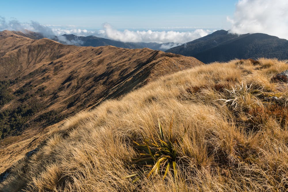
Stage Two: Ces Clark Hut to Moonlight Tops Hut (9.7km)
The views open out and the track follows the ridge along the Paparoa Range. Again, when it's clear keep an eye out for Mount Cook. The trail follows the Ridgeline much of the day as it heads towards Moonlight Tops Hut.
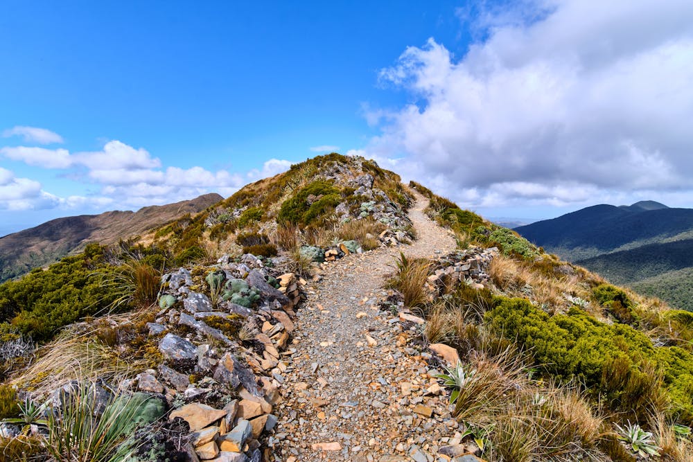
Stage Three: Moonlight Tops Hut to Pororari Hut
Boasting steep cliffs and stunning views, the longest stage of the route is as beautiful as it is challenging. Midway to Pororari Hut, the trail drops through ancient forest as it skirts Tindale Creek all the way to the Hut.
Stage Four: Pororari Hut to Pororari River car park or Waikori Road car park (16km)
The final stage is a hike along the Pororari River. Taking in a beautiful gorge and dense forest, it's a long but gentle stroll back to the cap parks. Be aware: camping is not permitted at these car parks.
Difficult
Hiking trails where obstacles such as rocks or roots are prevalent. Some obstacles can require care to step over or around. At times, the trail can be worn and eroded. The grade of the trail is generally quite steep, and can often lead to strenuous hiking.

Little chance of being seen or helped in case of an accident.
9 routes · Hiking