Heaphy Track - IMBA Epic
One of New Zealand's best known hikes is also (in winter only) an extraordinary multi-day bike ride too!
Also in Tasman District, New Zealand
Mountain Biking Difficult
- Distance
- 73 km
- Ascent
- 2.3 km
- Descent
- 2.4 km
- Duration
- 7-8 hrs
- Low Point
- 0 m
- High Point
- 955 m
- Gradient
- 14˚

The West coast of New Zealand's south island isn't famed for its sunny and dry winter conditions (!) but if you get lucky with the weather then this is one of the finest bike adventures on the planet. The trail is famous as a hiking route but is open for mountain bikes from May 1st to November 30th, and group size is limited to 6. The ride goes through the Kahurangi National Park, which was created in 1996, and 15 years later (after much debate) mountain biking was finally allowed on the Heaphy track - in order to keep this arrangement going, please abide by all rules! One of the stipulated rules is that hut bookings are required in advance and can be booked through - doc.govt.nz/heaphytrack.
- •
- •
- •
Description
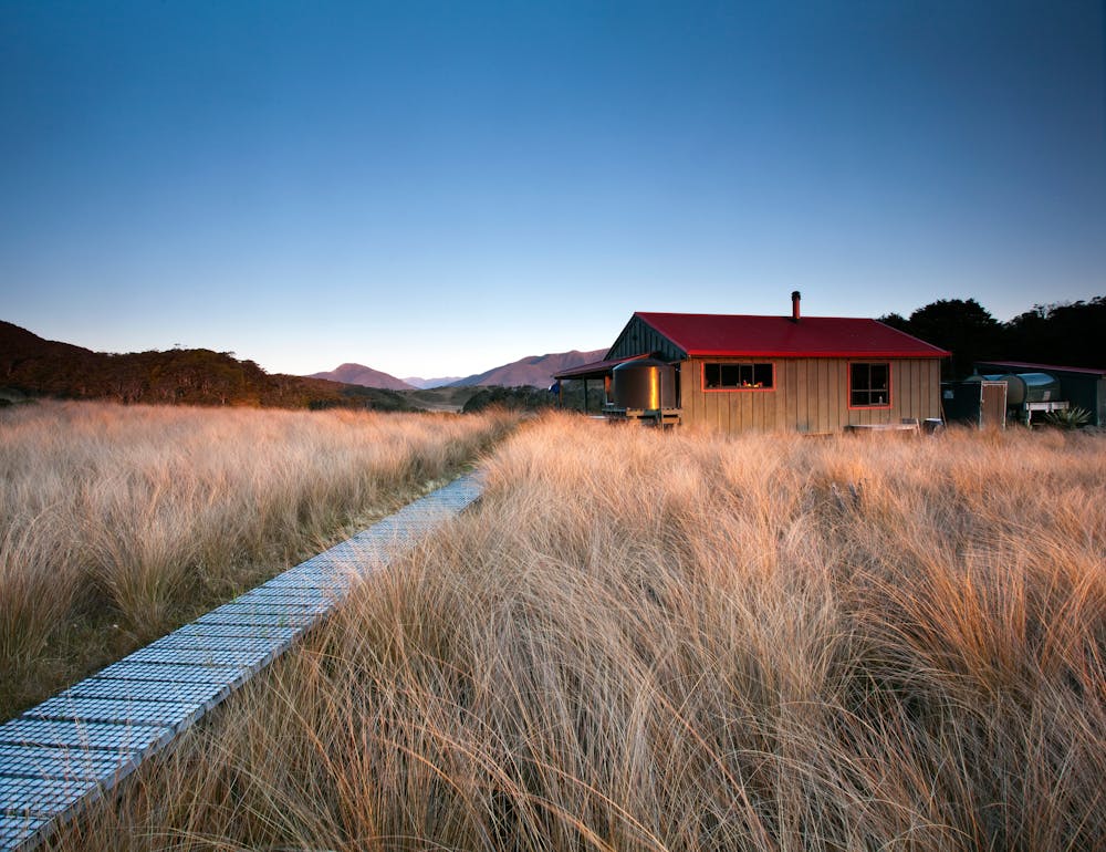
There are 6 huts along the route, and it can be done in either direction, so we'd recommend doing plenty of research via the Department of Conservation before setting off in order to tailor the route to your fitness levels. Elite athletes might even consider doing it in one day but for most mere mortals you'll want 3 or 4 to enjoy the experience fully. Be aware that the most remote part of the track is over 50kms from the nearest settlement, so regardless of how long you plan to take, make sure you've got enough kit to look after yourself in an emergency.
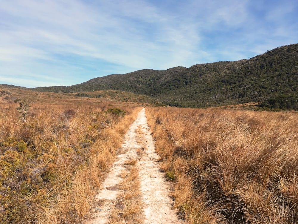
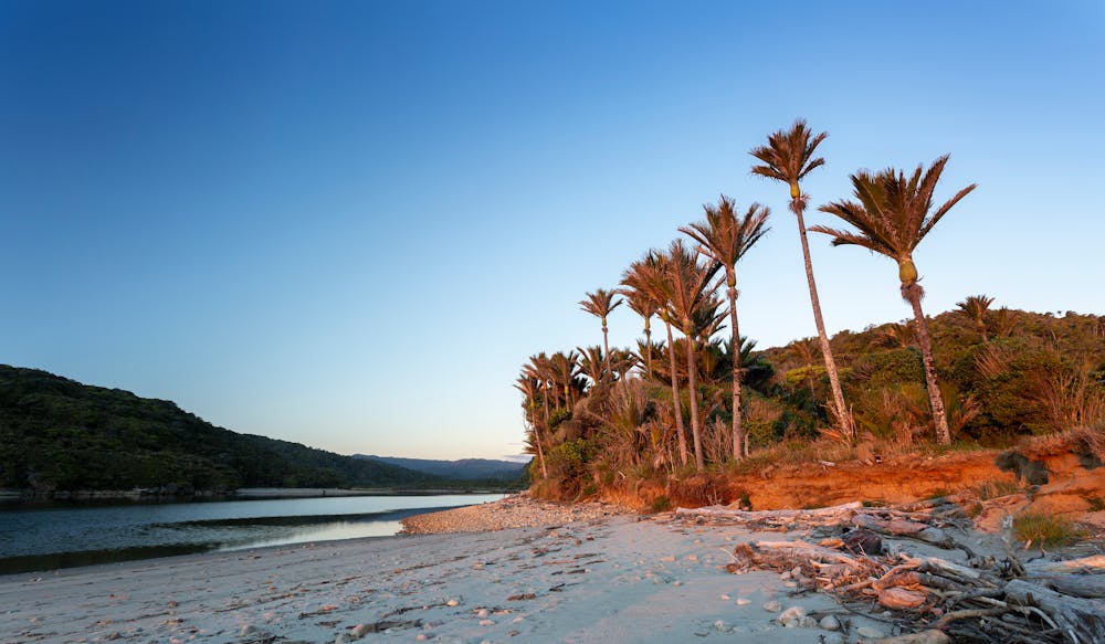
The riding itself on the Heaphy Track is wonderful, with the longest downhill section being almost 13km, and the longest bridge no less than 150 metres! The scenery is amazingly varied too, with grasslands, rainforest and sub-alpine scrub all featuring. Even the final section (the long, flat roll along the west coast itself) is wonderful, and leads to the Kohaihai campsite at the southern terminus of the route.
From there, either get picked up or jump into your pre-shuttled car (either option needs to be organised in advance) and drive 16km south to Karamea to sample some of the legendary west coast hospitality!
Difficulty
Difficult
Mostly stable trail tread with some variability featuring larger and more unavoidable obstacles that may include, but not be limited to: bigger stones, roots, steps, and narrow curves. Compared to lower intermediate, technical difficulty is more advanced and grades of slopes are steeper. Ideal for upper intermediate riders.
Medium Exposure

The trail contains some obstacles such as outcroppings and rock which could cause injury.
Remoteness

Little chance of being seen or helped in case of an accident.
Best time to visit
Features
- Technical
- Picturesque
- Singletrack
- In the forest
- Drops
- Roots
- Rock Rolls
- Wooden Feature