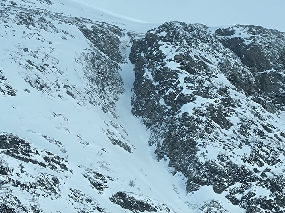
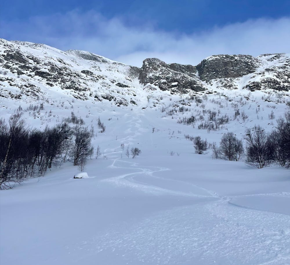
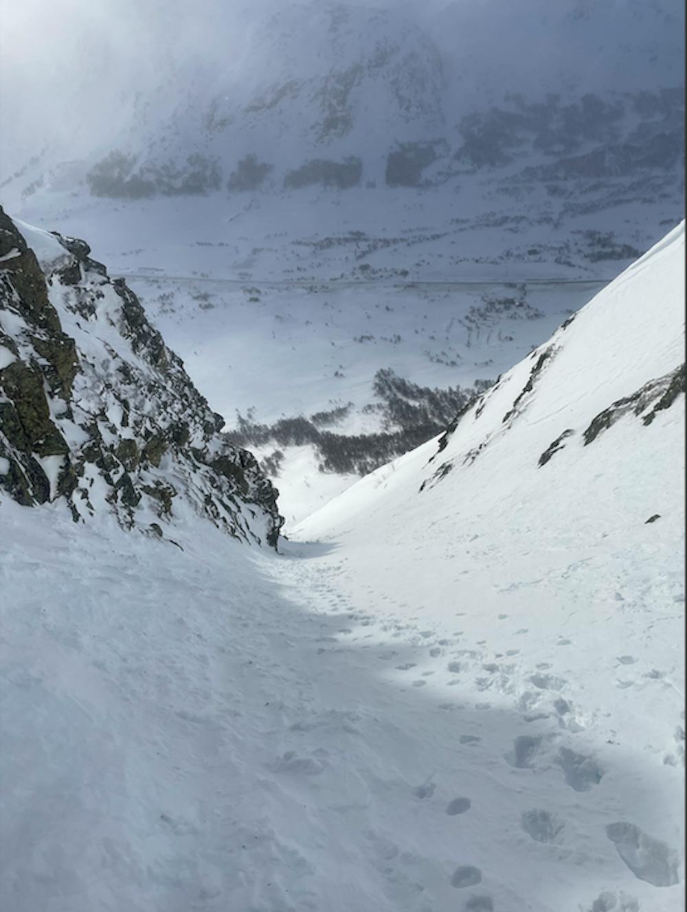
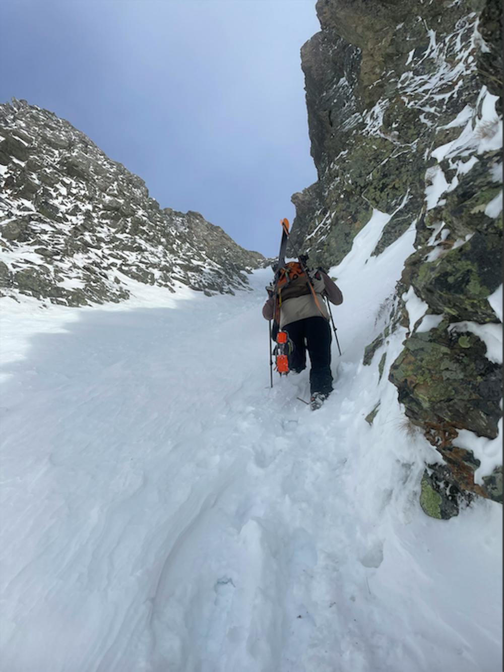
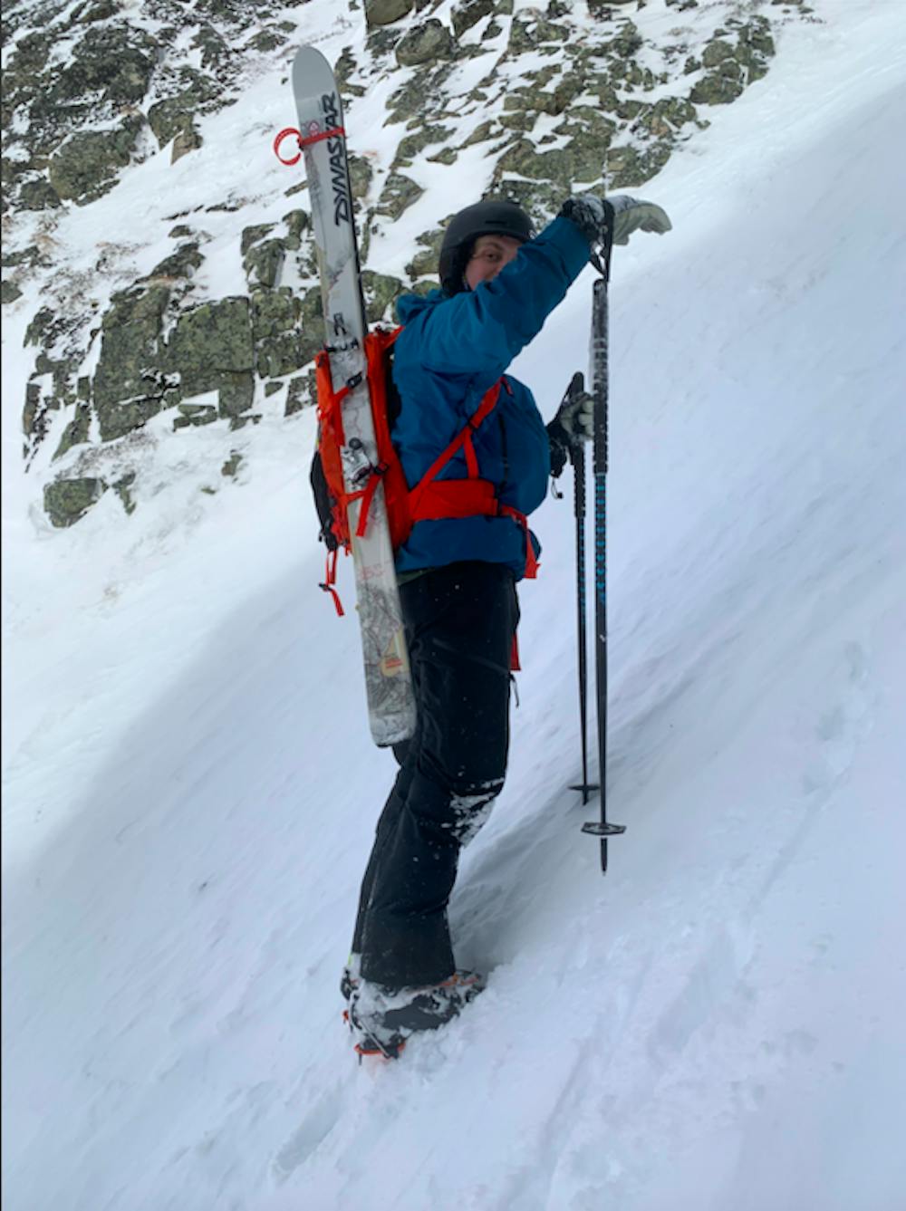
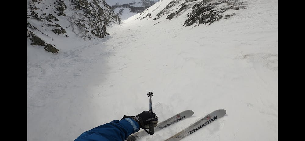
Bjøbjerg couloir
Steep, but fairly wide couloir. Close to main road.
Freeride Skiing Difficult
- Distance
- 2.3 km
- Ascent
- 465 m
- Descent
- 465 m
- Low Point
- 962 m
- High Point
- 1.4 km
- Gradient
- 42˚

This is a popular freeride skiing route which is generally considered to be difficult. It's not remote, it features high exposure (e3) and is typically done between January and May. From a low point of 962 m to the maximum altitude of 1.4 km, the route covers 2.3 km, 465 vertical metres of ascent and 465 vertical metres of descent. You'll need skins, ice axe and crampons to complete it safely.
- •
- •
- •
- •
- •
- •
Description
Steep, but fairly wide couloir. Close to main road.
Difficulty
Difficult
Serious gradient of 30-38 degrees where a real risk of slipping exists.
High Exposure (E3)

In case of a fall, death is highly likely.
Remoteness

Close to help in case of emergency.
Best time to visit
Features
- Couloir
- Walk Required
Equipment required
- Skins
- Ice axe
- Crampons