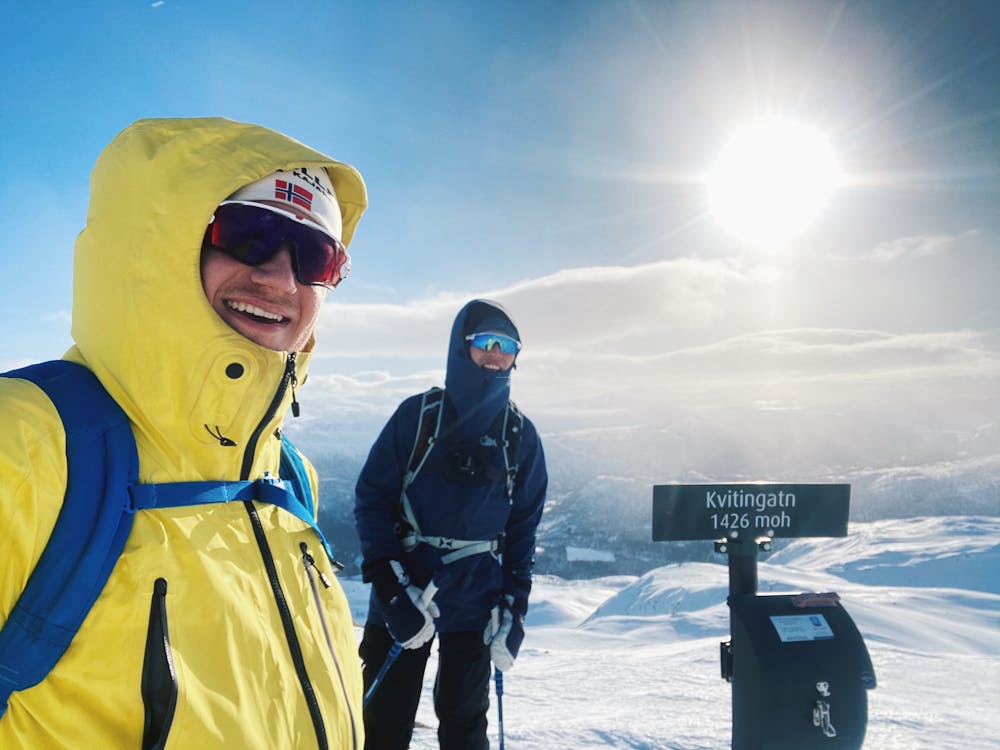
Kvitingatn 1426 moh (også kalt Kvitingane)
Nydelig tur i Grøndalen
Ski Touring Easy
- Distance
- 10 km
- Ascent
- 806 m
- Descent
- 807 m
- Duration
- 4-5 hrs
- Low Point
- 703 m
- High Point
- 1.4 km
- Gradient
- 35˚

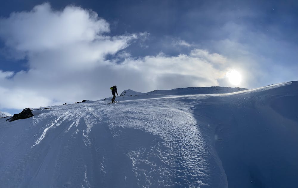
This is a popular ski touring route which is generally considered to be easy. It's not remote, it features medium exposure (e2) and is typically done between November and May. From a low point of 703 m to the maximum altitude of 1.4 km, the route covers 10 km, 806 vertical metres of ascent and 807 vertical metres of descent. It's graded 2.1 and Labande grade 3. You'll need skins to complete it safely.
- •
- •
- •
Description
Perfekt for uerfarne men som de erfarne kommer tilbake til for turen og utsiktens skyld!
Difficulty
Easy
Wide gentle slopes at around 20 degrees or less.
Medium Exposure (E2)

As well as the slope itself, there are some obstacles (such as rock outcrops) which could aggravate injury.
Remoteness

Close to help in case of emergency.
Best time to visit
Features
- Cliffs
- Tree Skiing
- Ski Mountaineering
Equipment required
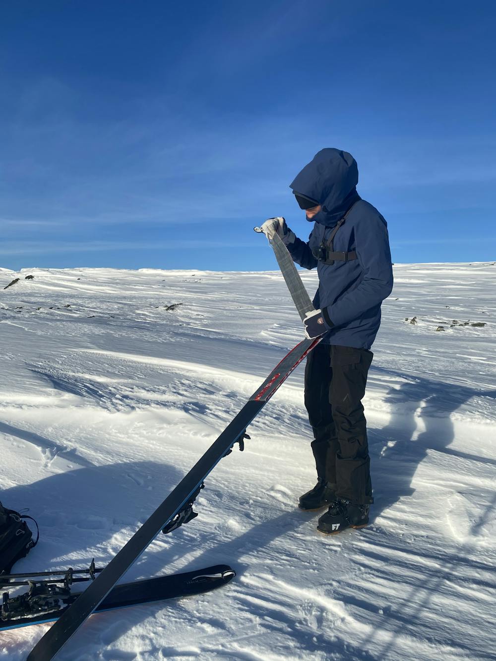
- Skins