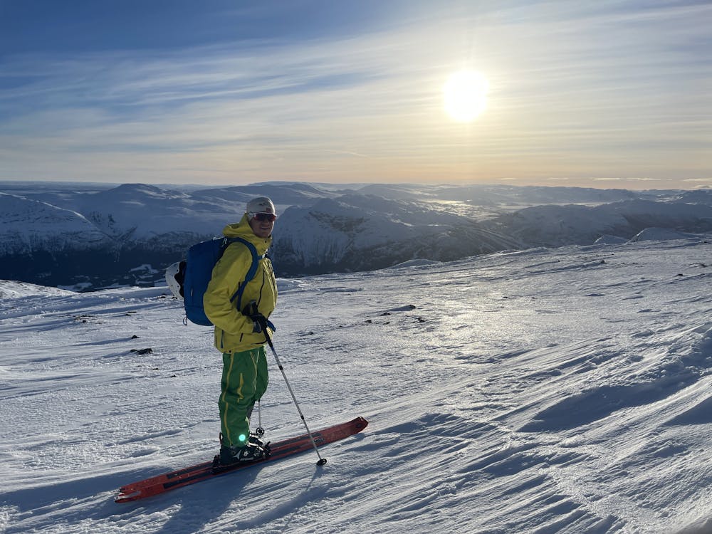
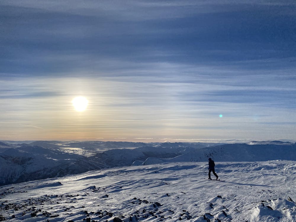
Nibbi 1741moh
Enkel opptur masse fine linjer å velge mellom hvis du er nybegynner - middels god
Ski Touring Easy
- Distance
- 6.1 km
- Ascent
- 830 m
- Descent
- 669 m
- Duration
- 3-4 hrs
- Low Point
- 930 m
- High Point
- 1.7 km
- Gradient
- 45˚

This is a popular ski touring route which is generally considered to be easy. It's remote, it features low exposure (e1) and is typically done between November and May. From a low point of 930 m to the maximum altitude of 1.7 km, the route covers 6.1 km, 830 vertical metres of ascent and 669 vertical metres of descent. It's graded 2.1 and Labande grade 3.
- •
- •
Description
Kjør av på Ulsåk mot Lykja. Følg veien innover ett stykke (Forbi Gravset) og ta av vei ved skilt mot Ullsåkstølen. Flere parkeringsmuligheter til veien ender.
Difficulty
Easy
Wide gentle slopes at around 20 degrees or less.
Low Exposure (E1)

Exposure is limited to that of the slope itself. Getting hurt is still likely if the slope is steep and/or the snow is hard.
Remoteness

Away from help but easily accessed.
Best time to visit
Features
- Cliffs
- Couloir
- Ski Mountaineering