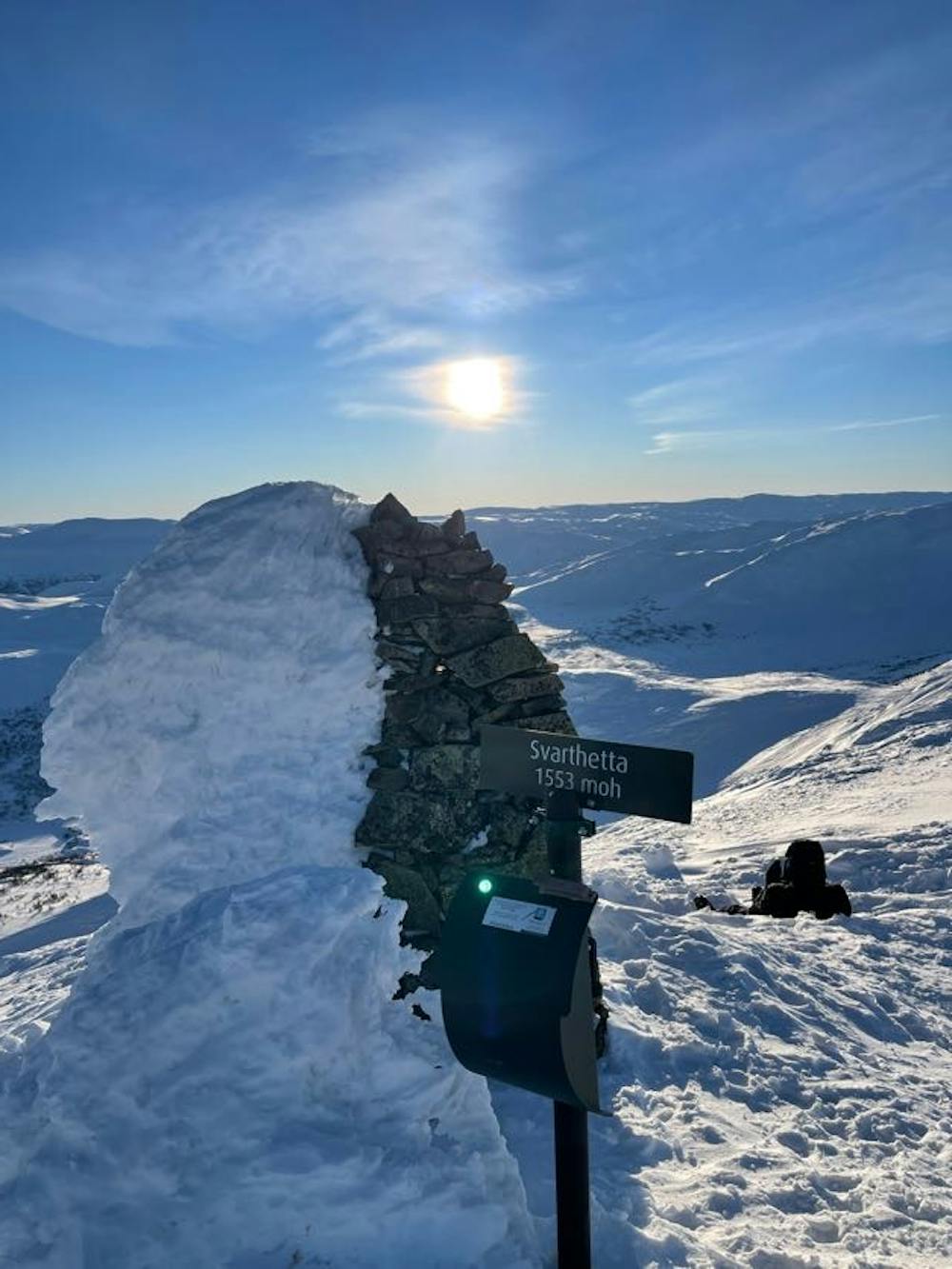
Svarthetta 1553 moh.
Masse muligheter i forskjellig ferdighetsnivå, magisk utsikt
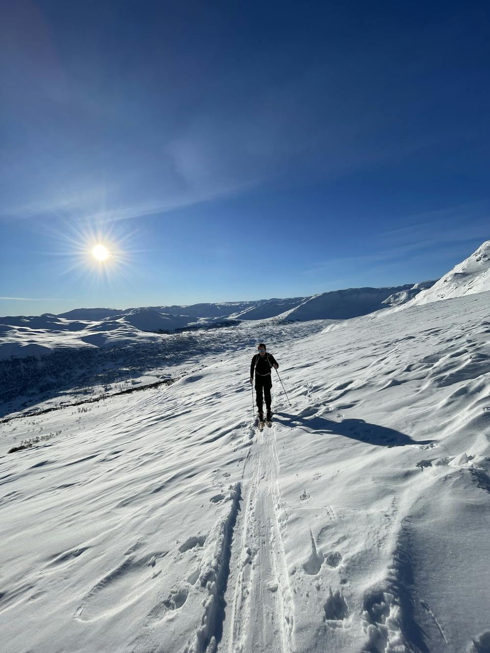
Ski Touring Moderate
- Distance
- 9.3 km
- Ascent
- 705 m
- Descent
- 704 m
- Duration
- 4-5 hrs
- Low Point
- 898 m
- High Point
- 1.5 km
- Gradient
- 28˚

This is a popular ski touring route which is generally considered to be moderate. It's not remote, it features medium exposure (e2) and is typically done between November and May. From a low point of 898 m to the maximum altitude of 1.5 km, the route covers 9.3 km, 705 vertical metres of ascent and 704 vertical metres of descent. It's graded 3.2 and Labande grade 3. You'll need skins to complete it safely.
- •
- •
Description
Innover hele Grøndalsveien tii veikryss ca 10 min innover tar du til venstre til du møter en bom (60kr, tar vipps), kjør til veien møter langrennsløypa, parker -> Følg langrennsløypa ca. 200 meter til du ser spor oppover i skogen :-)
Difficulty
Moderate
Slopes become slightly steeper at around 25-30 degrees.
Medium Exposure (E2)

As well as the slope itself, there are some obstacles (such as rock outcrops) which could aggravate injury.
Remoteness

Close to help in case of emergency.
Best time to visit
Features
- Cliffs
- Tree Skiing
Equipment required
- Skins